Glenstrae Road Reserve
From the air
Where it sits
Its centre falls inside Redcliffs, suburb membership is a centroid call, not a claim the whole park lies inside the outline.
More green in Redcliffs
- Barnett Park Conservation, Regional · 34 ha
- Barnett Park Sports Grounds, Sports ground · 8 ha
- Redcliffs Park, Sports ground · 2 ha
- Augusta Reserve
- Balmoral Hill Reserve
- Rapanui Reserve
- Glenstrae Reserve
- Moncks Cave Reserve
What’s built on this ground
No playground is on the register here, the asset layers name none for this ground.
Also on the register: 1 seat (1 seat).
The register’s site tag names this park, and its pins stand inside the drawn outline, two views of the same ground.
The plaques on this ground
Inscribed plaques whose pin stands inside the park's drawn outline, the remembered names the register keeps here.
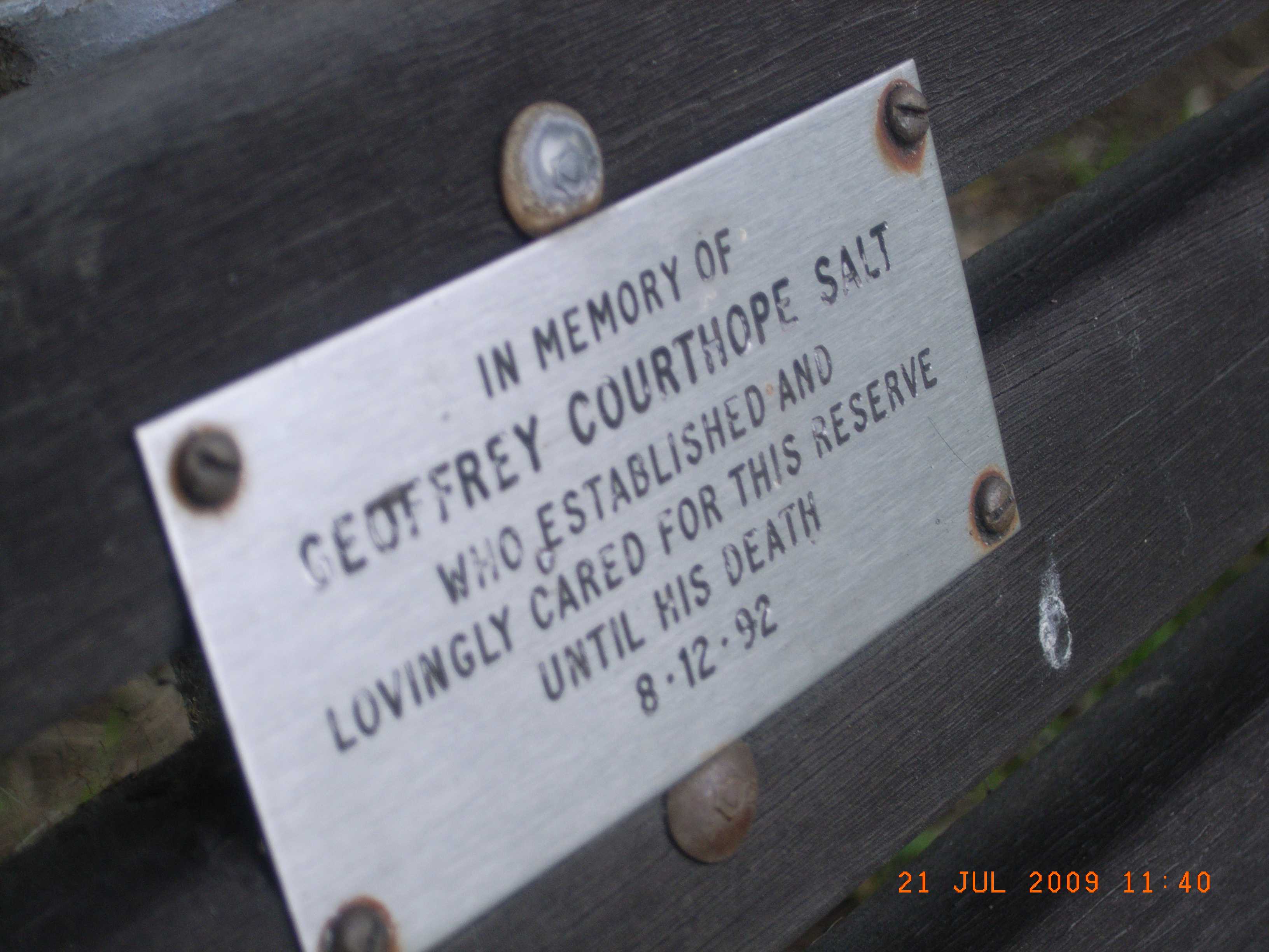
The reports on this ground
5 reports pinned inside the park's drawn outline, most often Roads & footpaths and Trees & parks, 4 with a photograph. A pin is where a reporter stood, not a claim about the whole park.
 Roads - General, 9 Glenstrae Rd, Canterbury, Christchurch 8081, New Zealand · 25 September 2025
 Road Blockage, 9 Glenstrae Rd, Canterbury, Christchurch 8081, New Zealand · 12 June 2025
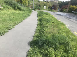 Roading/Streets, 9, Glenstrae Road, Redcliffs, Canterbury, 8081, New Zealand · 12 October 2021
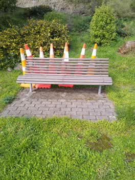 Parks, 16 Glenstrae Road, Canterbury 8081, New Zealand · 16 August 2021
- Parks, 18 Glenstrae Road, Canterbury 8081, New Zealand · 30 July 2021
Environment Canterbury / Canterbury Maps, Parks layer · refreshed 10 October 2026.
What stood on this ground before → · On the map →
Questions, answered briefly
596 m² by the layer’s own polygon.
Its centre falls inside Redcliffs, a centroid call, not a claim the whole park lies inside the outline.
A park or reserve.
Environment Canterbury’s open Parks layer, kind, size and suburb read straight from it.