Botanic Gardens
Botanic · 21 ha
From the air
Where it sits
Its centre sits about 148 km south-west of the central city, past the suburb outlines this site keeps: a regional reserve.
What’s built on this ground
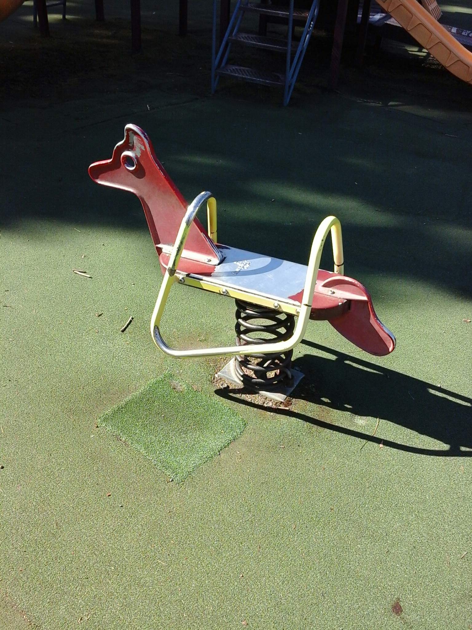
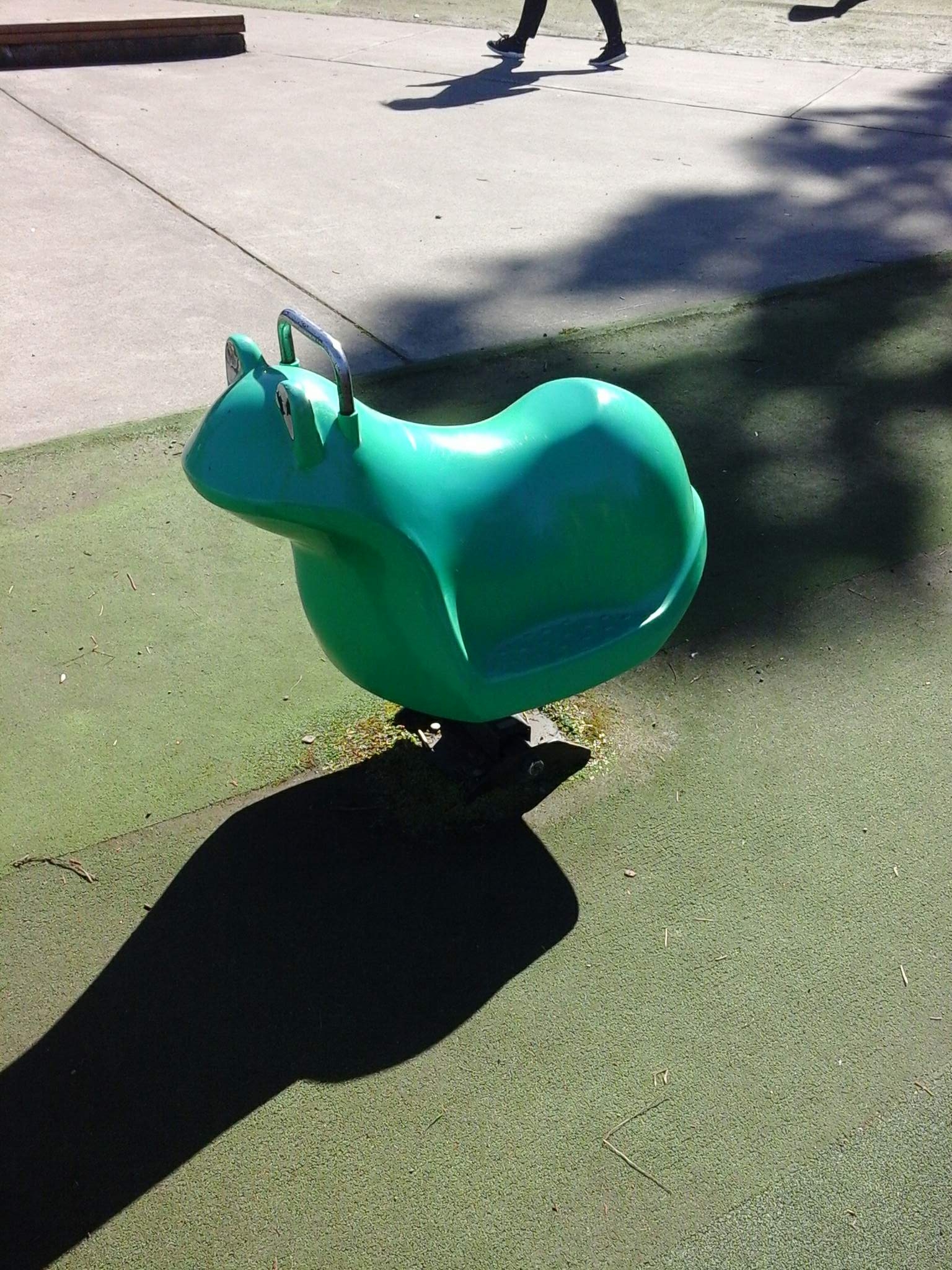
A playground stands here, the register counts 51 pieces of play equipment (15 platforms, 7 ladders, 4 climbing-walls, 3 cube/bead sets, 3 swings, 3 slides, 2 tunnel slides, 2 swing bridges and 2 other kinds) plus 2 modular units, the highest rated fall 2 m.
Also on the register: 165 seats (126 benches and 39 seats), 8 picnic tables, 5 drinking fountains and 2 water features.
The register’s commission dates run 1998 to 2026.
The register’s own site tag puts every item on this ground; the pins themselves can drift a few metres.
The tracks through it
Track lines whose drawn course enters the park’s outline, measured against the line itself, not a buffer around it.
- Botanic Gardens Paths, 41 m · walk
- Botanic Gardens Paths, 96 m · walk
- Botanic Gardens Paths, 131 m · walk
- Botanic Gardens Paths, 15 m · walk
- Botanic Gardens Paths, 22 m · walk
- Botanic Gardens Paths, 170 m · walk · bike
- Botanic Gardens Paths, 39 m · walk · bike
- Botanic Gardens Paths, 64 m · walk · bike
- Botanic Gardens Paths, 142 m · walk · bike
- Botanic Gardens Paths, 24 m · walk · bike
- Botanic Gardens Paths, 113 m · walk · bike
- Botanic Gardens Paths, 28 m · walk · bike
The civic shelf inside
Libraries, toilets, courts and the rest whose point falls inside the park’s drawn outline, the ground in use, the way a register pin is the ground remembered.
- Cenotaph & Wall Of Remembrance, Monument
- Queen Victoria Jubilee Fountain, Monument
- Robbie Burns, Monument
- Botannic Gardens Playground Toilets, Public toilet
- Bowls Club Building Toilets, Public toilet
Environment Canterbury / Canterbury Maps, Parks layer · refreshed 10 October 2026.
What stood on this ground before → · On the map →
Questions, answered briefly
21 hectares by the layer’s own polygon.
About 148 km south-west of the central city, past the suburb outlines this site keeps: a regional reserve.
Botanic.
12 lines enter the drawn outline, listed above, measured against the line itself, not a buffer.