Victoria Park
1 ha · 123 Percival Street
From the air
Where it sits
Its centre sits about 25 km north of the central city, past the suburb outlines this site keeps: a regional reserve.
What’s built on this ground
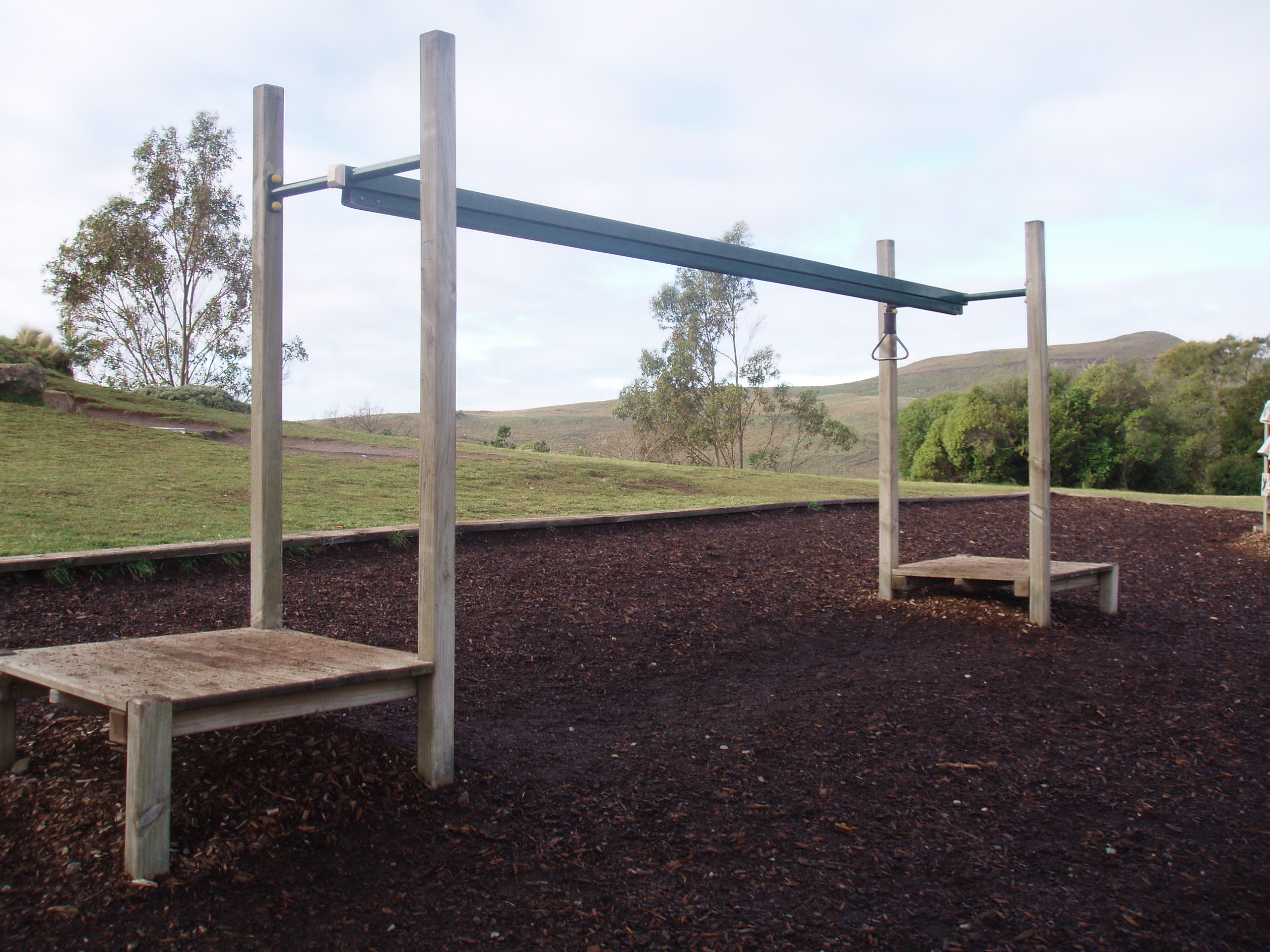
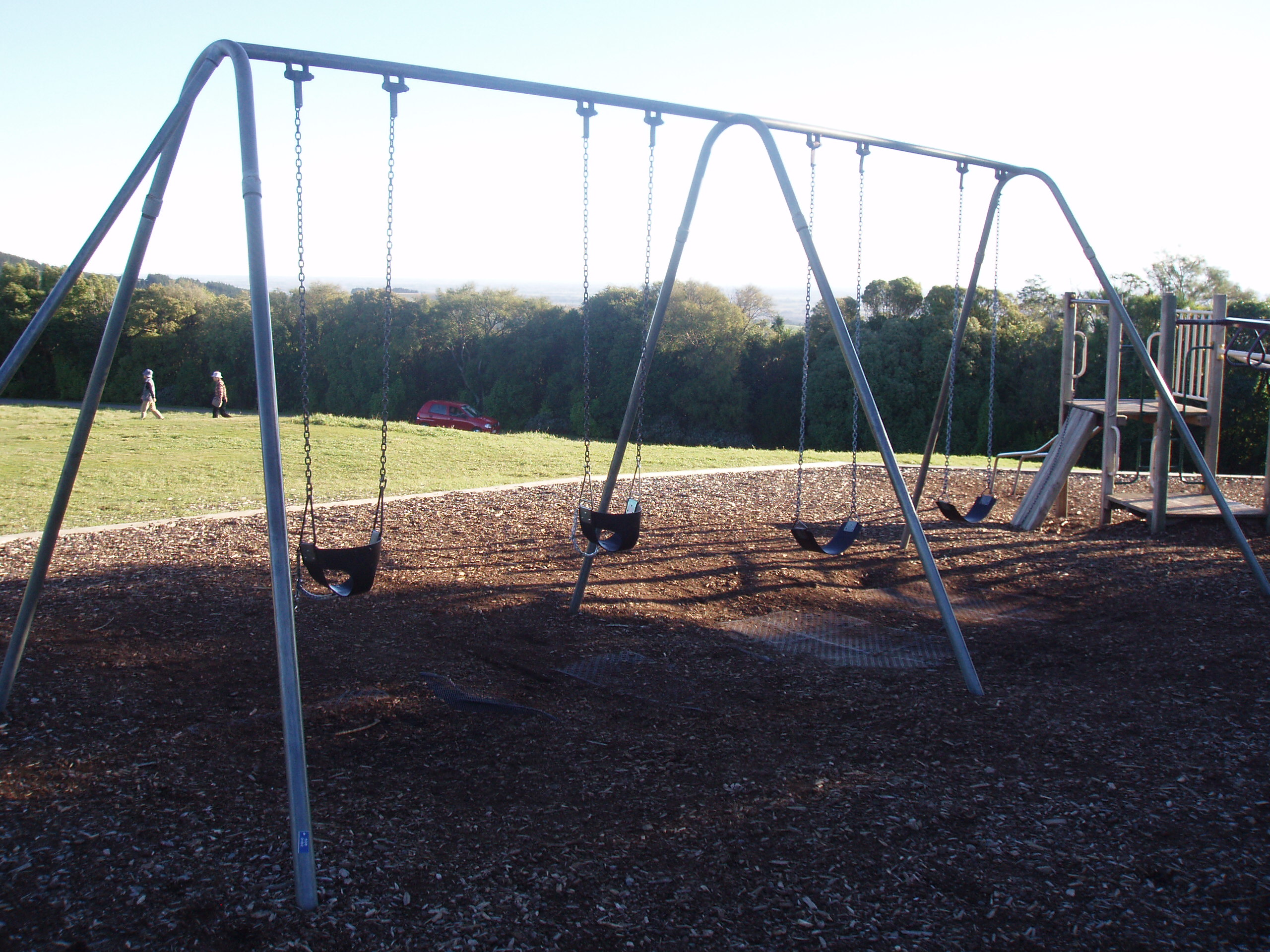
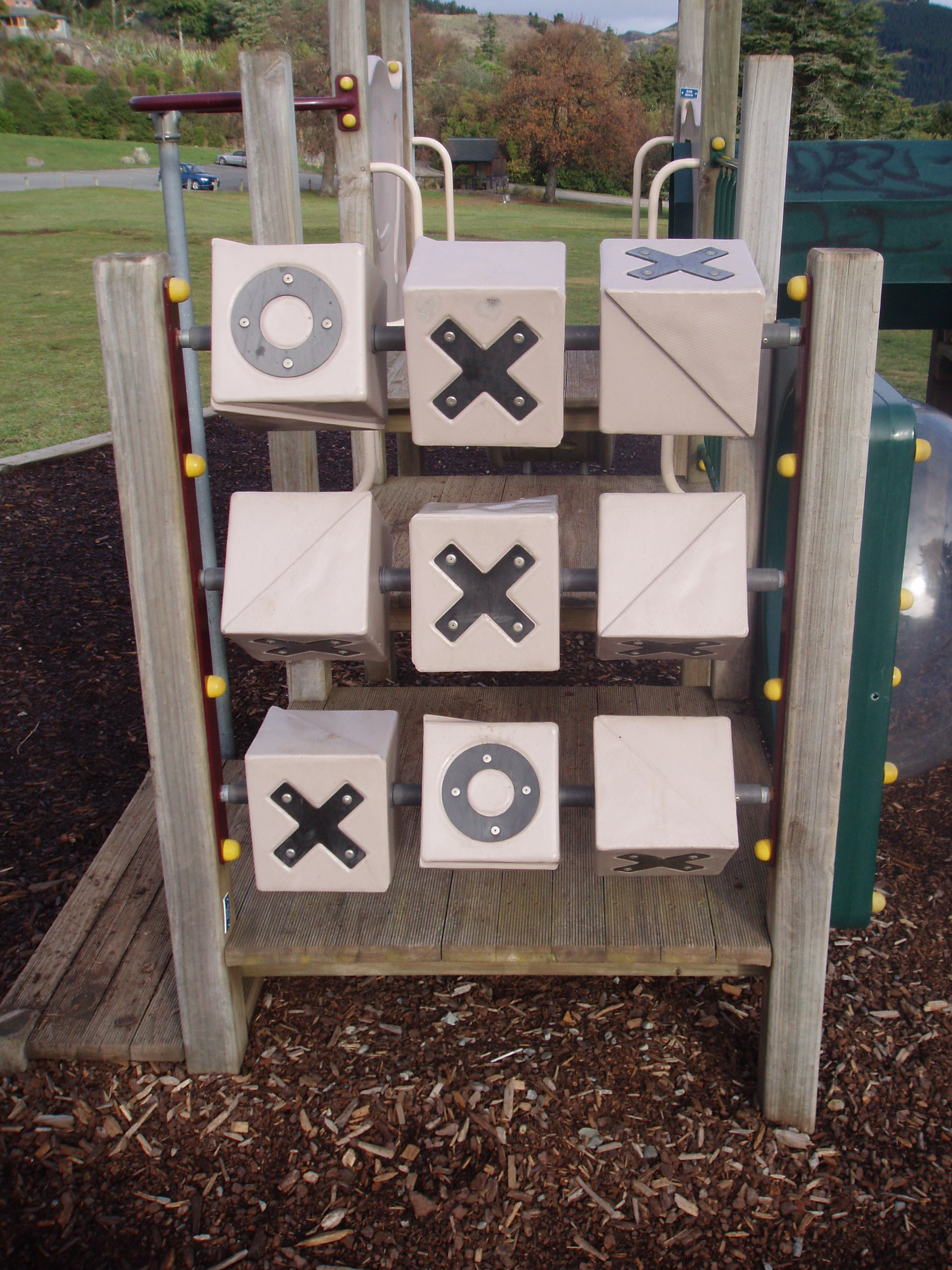
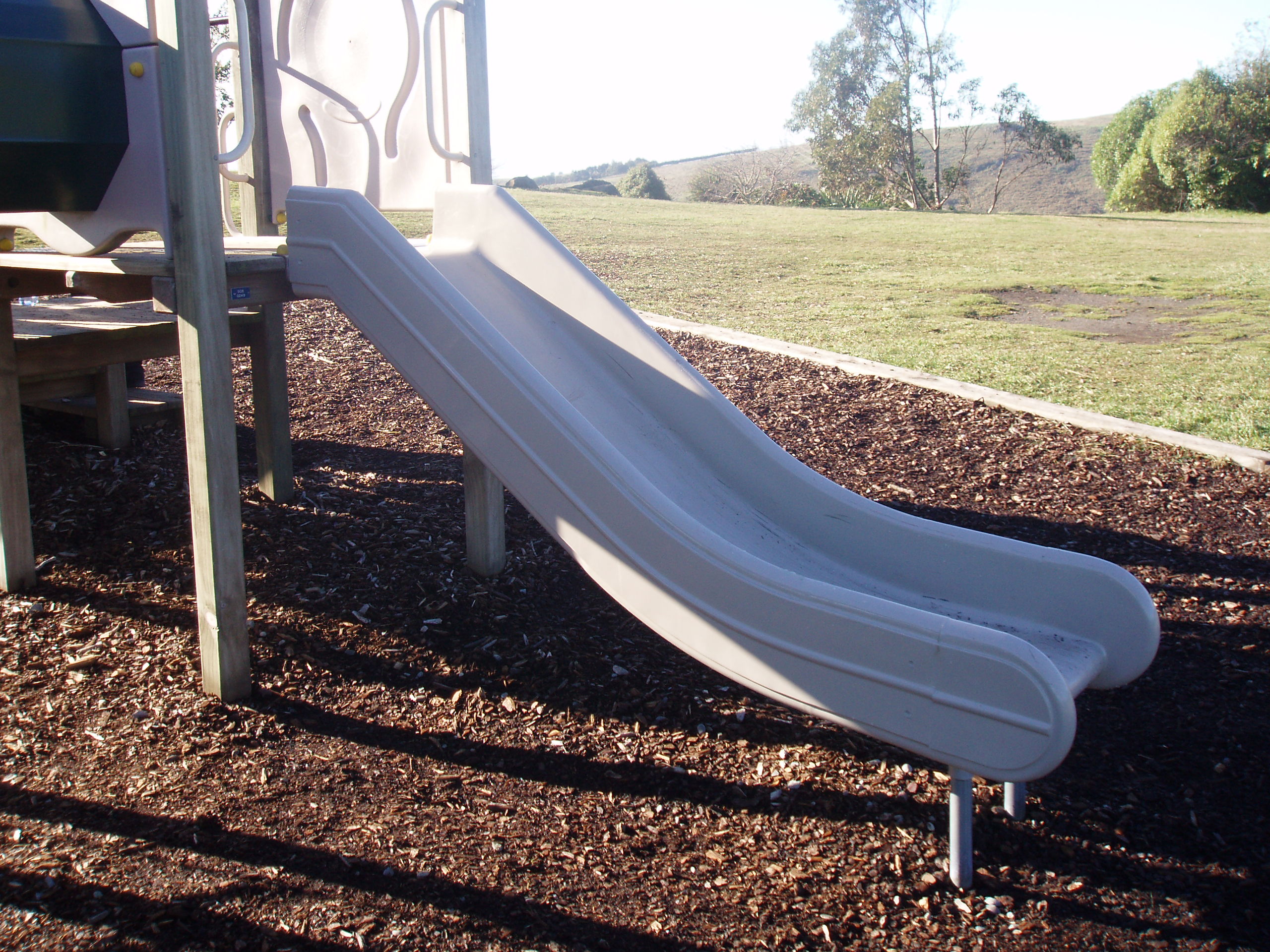
A playground stands here, the register counts 22 pieces of play equipment (4 climbing-walls, 3 slides, 2 climbing-monkey bars, 2 firemans poles, 2 ladders, 1 track glyde, 1 swing, 1 cube/bead sets and 2 other kinds) plus 2 modular units, the highest rated fall 2 m.
Also on the register: 27 seats (15 benches and 12 seats), 14 picnic tables, 6 drinking fountains (bottle filler and dog bowl) and 2 pieces of sports gear (1 bmx see-saw and 1 bmx ramp).
The register’s commission dates run 1998 to 2017.
The register’s own site tag puts every item on this ground; the pins themselves can drift a few metres.
The civic shelf inside
Libraries, toilets, courts and the rest whose point falls inside the park’s drawn outline, the ground in use, the way a register pin is the ground remembered.
Environment Canterbury / Canterbury Maps, Parks layer · refreshed 10 October 2026.
What stood on this ground before → · On the map →
Questions, answered briefly
1 hectares by the layer’s own polygon.
About 25 km north of the central city, past the suburb outlines this site keeps: a regional reserve.
A park or reserve.
Environment Canterbury’s open Parks layer, kind, size and suburb read straight from it.