100 Broadhaven Avenue, Parklands
11 reports on record since December 2017 · 8 with photographs. The most-reported address on Broadhaven Avenue. Indicative rating valuation and school zones, hazards, bin day and what stood here before.
What gets reported here
- Graffiti — 3
- Parks — 2
- Overgrown Vegetation — 2
- Dumped Rubbish — 2
- Trees - General — 1
- Park - General Request — 1
Photographed here 8 on record


Reported here
 Dumped Rubbish —
 dumped rubbish
 Dumped Rubbish —
 suitcase dumped been here for weeks. please remove
 Trees - General —
 dead trees on verge need replacing entrance to park. Broadhaven ave down from where buses patk thanks
- Overgrown Vegetation —
- Graffiti —
- Park - General Request —
 Overgrown Vegetation —
 Tree growing over footpath
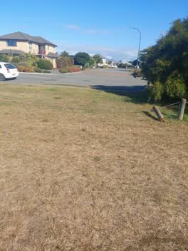 Parks —
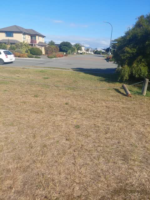
 Bollard is broken, looks like a car has driven over the wire
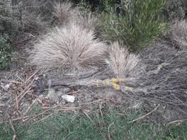 Parks —
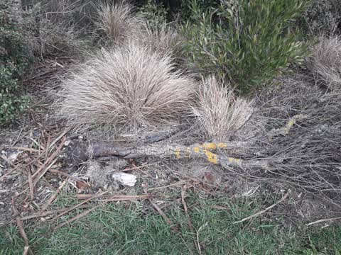
 fallen tree
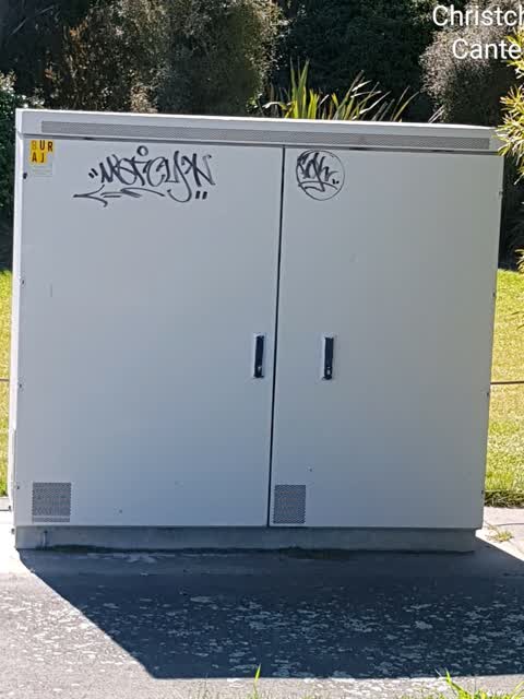
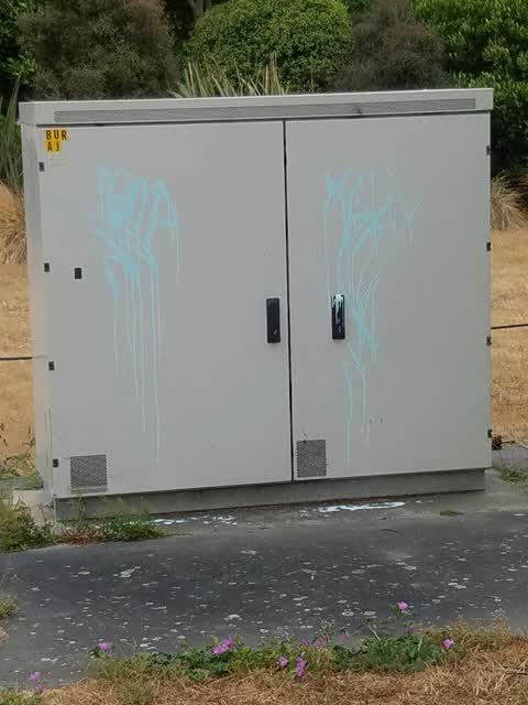
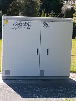 Graffiti —
 Graffiti —
Also reported on Broadhaven Avenue
- 97E Broadhaven Avenue — 8 reports
- 97 Broadhaven Avenue — 7 reports
- 19 Broadhaven Avenue — 6 reports
- 108 Broadhaven Avenue — 6 reports
- 69 Broadhaven Avenue — 4 reports
- 98 Broadhaven Avenue — 3 reports
- 95–97 Broadhaven Avenue — 3 reports
- 95 Broadhaven Avenue — 3 reports
The street’s crash record
NZTA’s record names Broadhaven Avenue in 6 crashes that hurt somebody since 2006 — 1 seriously hurt, nobody killed.
The green nearby
- Broadhaven Reserve — you are in it · Sports ground · 4 ha
- Bower Ave Landscape Reserve — 116 m to the edge
- Arthur Adcock Memorial Reserve — 243 m to the edge · Sports ground · 4 ha
- Lamorna Reserve — 258 m to the edge
- Monterey Reserve — 311 m to the edge
Parks within half a kilometre, measured to the boundary — the council’s open data.
On the doorstep
- Parklands Bowling Club — 365 m away · Clubs
Businesses within four hundred metres, measured at the pin — OpenStreetMap and the council directories.
The bus nearby
The closest Metro stops, within four hundred and fifty metres.
The named ground
Named places within 1.5 km of this address — the open map’s record.
Renting nearby
new bonds in Parklands ran about $579 a week — $29 above the city median of $550 — the suburb page keeps the rent record →.
The civic layer
This ground votes in Coastal ward — the Coastal-Burwood-Linwood community board. Ward lines don’t always follow suburb lines; this one is measured at the pin, not the suburb’s centre.
What stood on this ground → · On the map → · From the air — the Crown’s aerials back to 1936; search the address on RetroLens →
Questions, answered briefly
11 council reports on record since December 2017 — most often graffiti (3), parks (2), overgrown vegetation (2).
Parklands, Christchurch — on Broadhaven Avenue.
Nothing on the heritage register at this exact spot — the record around this ground →
Broadhaven Reserve — the address is inside it, 4 ha.