24 Rothesay Road, Parklands
19 reports on record since February 2016 · 15 with photographs. The most-reported address on Rothesay Road. Indicative rating valuation and school zones, hazards, bin day and what stood here before.
What gets reported here
- Roading/Streets — 6
- Road Blockage — 2
- Damaged Street Sign — 2
- Street Cleaning — 1
- Sewer Odour — 1
- Sewer - General — 1
Photographed here 15 on record


Reported here
 Overgrown Vegetation —
 The roundabout grasses are constantly growing too large to see over. Consequently, there are lots of near misses, honks and screeching brake
 Roads - General —
 Speeding traffic on Rothesay Road especially at the two roundabouts. Skid marks show cars entering and exiting the Pohutukawa/Rothesay Round
 Road Blockage —
 Flax bushes on roundabout blocking vision on all four sides. I witnessed a crash here recently, because you can't see a car if its on the ot
 Road Blockage —
 Large flax bush planted by the neighbours on the median island is blocking vision for cars, hard to see oncoming cars, cyclists and pedestri
 Damaged Road —
 A ridge has developed between paving and sealed area on Rothesay Rd. The traffic noise has become unbearable as it acts as a speed bump but
 Damaged Street Sign —
 Arrow sign loose on bracket and rattles in the wind
- Street Cleaning —
- Poles and Signage - General —
- Damaged Street Sign —
- Roading/Streets —
Roundabout connecting Rothesay Rd, Pohutukawa Cres, and Tatahi St has flax plants overgrown that are obstructing view of oncoming traffic
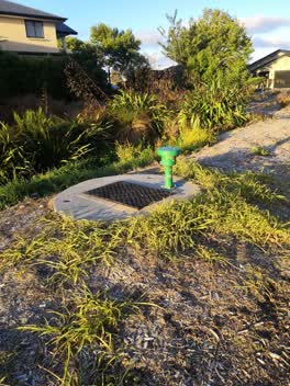 Sewer - General —
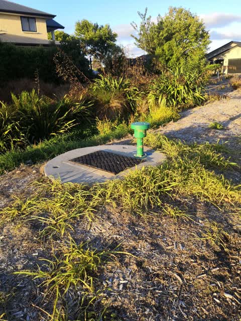
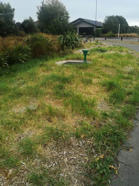
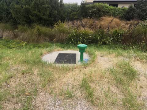
 Sewer breather needs new filter. Omitting a strong sewage smell
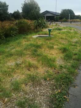 Parks —
 I wish to bring to your attention the ineffectiveness of the weedkiller been used. I have noticed after spraying the weeds die off immediate
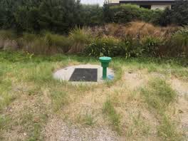 Sewer Odour —
 Cnr Rothesay /Tatahi. Sewer odour from this vent again
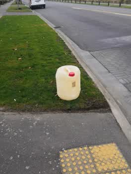 Roading/Streets —
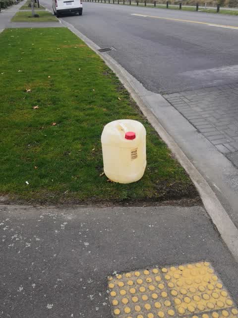
 Container with a chemical liquid in it. As I'm unsure how to dispose of it safely I would prefer the council to do so. I assume it has bounc
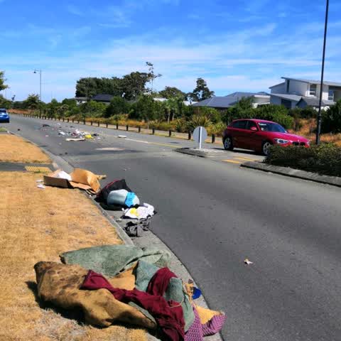
Roading/Streets —
Rubbish lost off trailer as the driver went over the roundabout quite fast. No way did he not know he'd lost this much rubbish. Included is
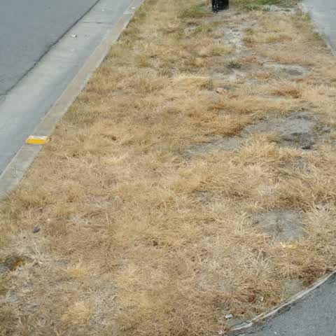
Roading/Streets —
Poor reinstatement of grass berm after installation of fibre cable. We had a very high quality lawn before been dug up for the fibre cable.
Graffiti —
On metre box in reserve running between Rothesay Rd & Pohutukawa Crescent
Roading/Streets —
Berm on corner Burwood & Rothesay Rd. This area seems to get missed when the berms in the rest of the area are cut. Just wondering if a con
Roading/Streets —
Branch came down in last week's heavy rain
Also reported on Rothesay Road
- 2 Rothesay Road — 13 reports
- 14 Rothesay Road — 10 reports
- 48 Rothesay Road — 8 reports
- 274 Rothesay Road — 8 reports
- 124 Rothesay Road — 5 reports
- 102 Rothesay Road — 5 reports
- 98 Rothesay Road — 4 reports
- 50 Rothesay Road — 4 reports
The street’s crash record
NZTA’s record names Rothesay Road in 6 crashes that hurt somebody since 2006 — 0 seriously hurt, nobody killed.
The green nearby
- Reka Reserve — 35 m to the edge
- Pohutukawa Reserve — 100 m to the edge
- Mataroa Reserve — 162 m to the edge
- Rothesay Reserve — 269 m to the edge · 3 ha
- Snellings Waterway Reserve — 346 m to the edge · 2 ha
Parks within half a kilometre, measured to the boundary — the council’s open data.
On the doorstep
- The Mountaineer/the Whale Train/the Mainlander — 79 m away · Business
- Wooden Carriages - The Marborough Flyer — 79 m away · Business
Businesses within four hundred metres, measured at the pin — OpenStreetMap and the council directories.
The bus nearby
- Burwood Rd near Rothesay Rd — 245 m away · route 135
- Burwood Rd near Rothesay Rd — 260 m away · route 135
The closest Metro stops, within four hundred and fifty metres.
The tracks through here
- Walk and bike track through Parklands — 11 m to the line · walk · bike
- Walk and bike track through Parklands — 254 m to the line · walk · bike
- Walk and bike track through Parklands — 483 m to the line · walk · bike
Tracks whose line passes within half a kilometre, measured to the line itself — the council’s open data.
The named ground
Named places within 1.5 km of this address — the open map’s record.
Renting nearby
new bonds in Parklands ran about $579 a week — $29 above the city median of $550 — the suburb page keeps the rent record →.
The civic layer
This ground votes in Coastal ward — the Coastal-Burwood-Linwood community board. Ward lines don’t always follow suburb lines; this one is measured at the pin, not the suburb’s centre.
What stood on this ground → · On the map → · From the air — the Crown’s aerials back to 1936; search the address on RetroLens →
Questions, answered briefly
19 council reports on record since February 2016 — most often roading/streets (6), road blockage (2), damaged street sign (2).
Parklands, Christchurch — on Rothesay Road.
Nothing on the heritage register at this exact spot — the record around this ground →
Reka Reserve — 35 m to its edge.