A Ngati Mamoe and Ngai Tahu Trail Once Crossed This Land
A plaque at Cashmere Village Green, standing in Cashmere. The words below are the register’s own transcription, the casing, the spelling, the typos.
A Ngati Mamoe and Ngai Tahu trail once crossed this land on the way from Putaringamotu (Riccarton Bush) to Rapaki and Ohinetahi. This route was part of the network of trails that linked the settlements on the plains with those on Banks Peninsula. / The cave above Sherwood Lane was known to Ngai Tahu as Matuku-takotako. It served as shelter for people travelling between the Peninsula and the Plains. This area was the site of a skirmish between Ngai Tahu and Ngati Mamoe in the mid-eighteenth century. / HERITAGE CHRISTCHURCH
The register’s own frame
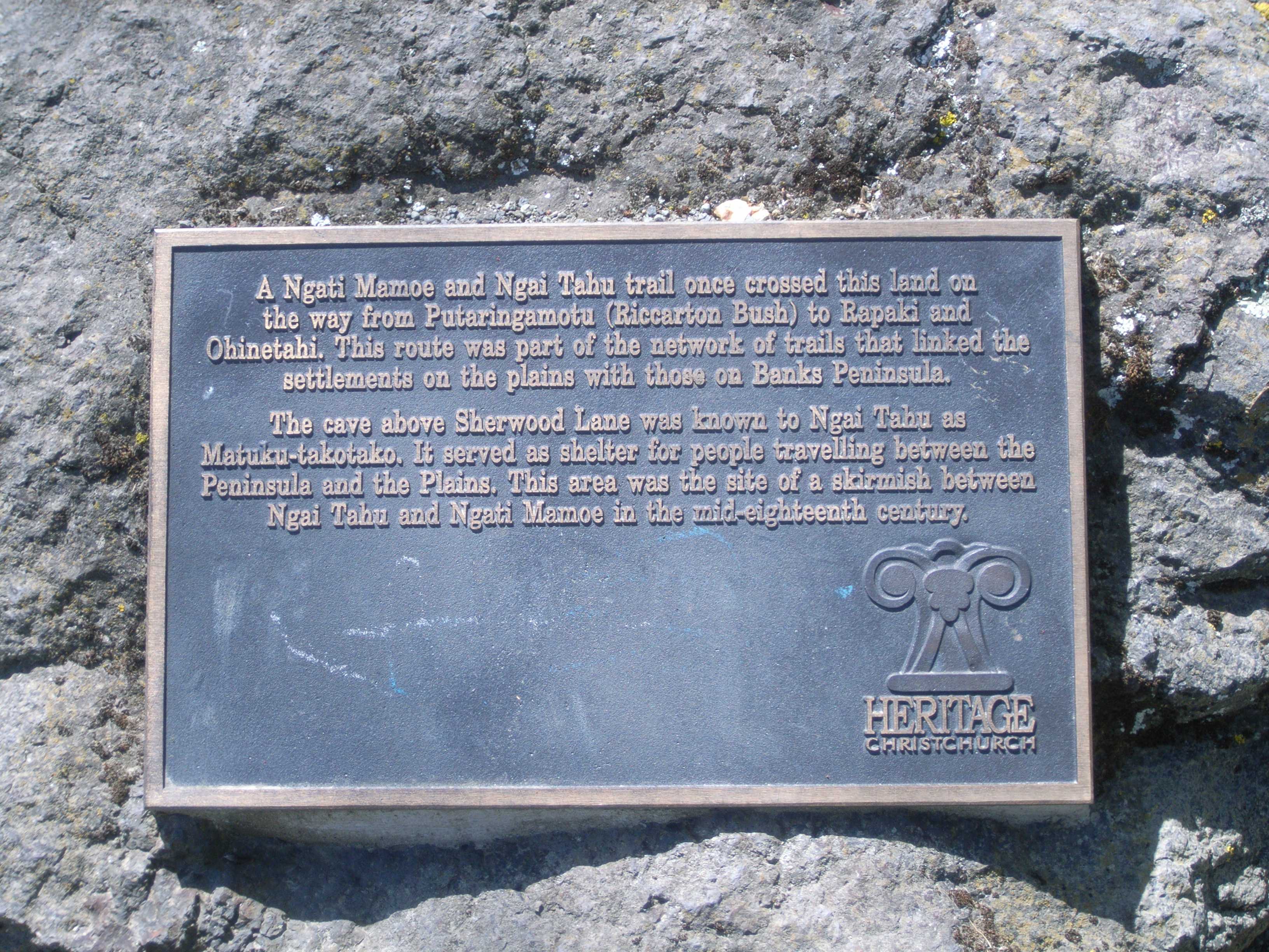
The council’s image, opened at its own host, the frame is the record’s, the reading is yours.
Where it stands
The record’s own pin; the strong outline is the suburb around it, the rest are its neighbours.
The ground’s other names
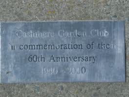 Cashmere Garden Club in Commemoration of Their 60th
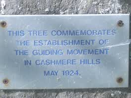 This Tree Commemorates the Establishment of the Guiding
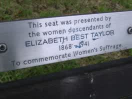 This Seat Was Presented by the Women Descendants, no. 32284
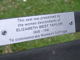 This Seat Was Presented by the Women Descendants, no. 32298
In the archive
A name read off an inscription is a lead, not a verified identity, the search is where verification starts.
The ground under it
The plans and surveys kept here, asked once of the pin. The whole stack answers live: what stood on this ground →
Around it
The reports nearby
456 council reports pinned within 250 m of the point, most often Water & drains and Trees & parks, 373 with a photograph. A pin is where a reporter stood, not a claim about the place itself.
 Overgrown Vegetation
 Trees - General
 Damaged Road
 Overgrown Vegetation
 Water Leak
 Street Cleaning
 Water Leak
 Water Leak
 Water Leak
 Damaged Street Sign
 Overgrown Vegetation
Questions, answered briefly
A plaque of Christchurch, standing at Cashmere Village Green in Cashmere, one record on the council’s plaque register for the public estate.
The words above, verbatim, the surveyor’s transcription, casing, spelling and typos as they were read off the plaque. The register does not say who the name belonged to; the dedication is the whole of the record.
5 plaques on the register share this ground, the others are linked above.
The register marks it in service, commissioned 2003. The books' word, though, a plaque may have weathered since the survey, and the pin is the record’s position.
The record behind this
Christchurch City Council’s open data, the Furniture service’s Plaque layer. The inscription is the surveyor’s transcription; "In Service" is the books, not a promise the plaque still reads clean today. The pin is the record’s position on the layer.
This page as markdown: /plaque/32291-cashmere-village-green.md · the roll: /plaques · the record as data: /plaques.json · on the big map: /map?layer=plaques · the monuments the crowd mapped: /memorial · what stood on this ground before: /before.