11 Celia Street
10 council reports since August 2015, 9 carrying a photograph. The most-reported address on Celia Street.
From the air, then
Sourced from Canterbury Maps and partners. RNZAF, CC BY 3.0 NZ. Each frame is cut from Environment Canterbury’s historic imagery MapServer for that decade, only where the Footprints layer names a CC BY survey (NZAM-covered spots stay out). RetroLens holds more Crown aerials →
The green nearby
- Redcliffs Park, 278 m to the edge · Sports ground · 2 ha
- Beachville Reserve, 288 m to the edge
- Balmoral Hill Reserve, 412 m to the edge · playground, 8 pieces
- Moncks Cave Reserve, 468 m to the edge
Parks within half a kilometre, measured to the boundary, the council’s open data. The whole roll is at /parks.
On the doorstep
- BP2Go Redcliffs, 232 m away · Petrol stations
- Redcliffs Mt Pleasant Bowling Club, 253 m away · Clubs
- Butterfly and Scotch, 268 m away · Butchers
- Money Bags, 271 m away · Restaurants
Businesses within four hundred metres, measured at the pin, OpenStreetMap and the council directories.
The bus nearby
The closest Metro stops, within four hundred and fifty metres.
The tracks through here
- Walk and bike track through Redcliffs, 85 m to the line · walk · bike
Tracks whose line passes within half a kilometre, the council’s open data.
The named ground
Named water within 500 m of this address, measured to the line or the edge; Named places within 1.5 km of this address; the council’s own structure register, bridges, boardwalks and steps standing nearby, the open map’s record.
The remembered names nearby
- These Swings Are a Gift From Reuben, for Everyone to Enjoy, 150 m away ·
These swings are a gift from Reuben, for everyone to enjoy. / Reuben Murray Smith / 24.1.2
· 1899
Inscribed plaques within two hundred and fifty metres, the register’s pins, not surveyed spots. The whole roll is at /plaques.
Renting nearby
new bonds in Redcliffs ran about $700 a week, $150 above the city median of $550, the suburb page keeps the rent record →.
What gets reported here
- Roading/Streets, 6
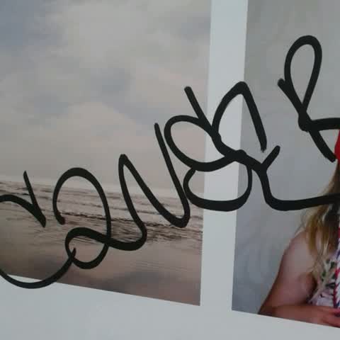
- Graffiti, 3
- Water Leak, 1
Photographed here 9 on record



What’s on record
- Water Leak, 13 Apr 2023
Roading/Streets, 25 Jan 2020
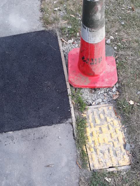
ref 205722. city care have now fixed the leak and despite my previous snap send solve left the berm full of gravel so it cant be mowed. what
Roading/Streets, 9 May 2017
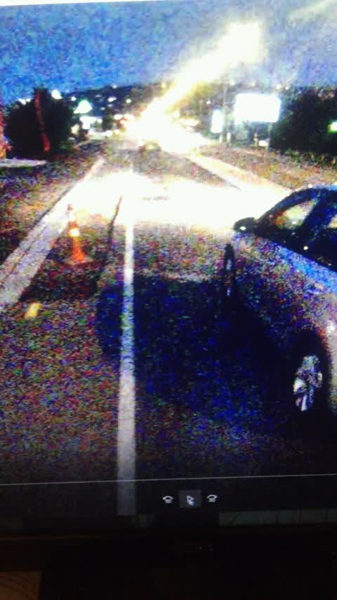
Unable to change location to Ferry Road in Ferrymead. Eastbound carriageway has cycle lane dug up and pothole on edge of general traffic la
Roading/Streets, 31 Mar 2017
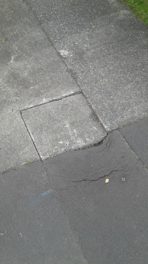
Contractor who fixed storm water under footpath cut our driveway and didn't repair. Now the whole thing is collapsing.
Roading/Streets, 5 Oct 2016
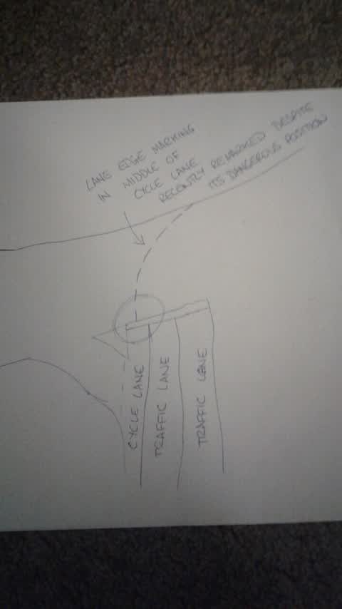
Application won't let me change location to intersection of Humphreys Drive and Ferry Road. I have previously raised the dangerous and illo
Graffiti, 12 Aug 2016
Again. Done around 330 in broad daylight
Graffiti, 11 Aug 2016
4th night of graffiti this week. Same tag as last night
Graffiti, 10 Aug 2016
3rd time, different tag again. We've cleaned again. Can you please forward to police if known tag?
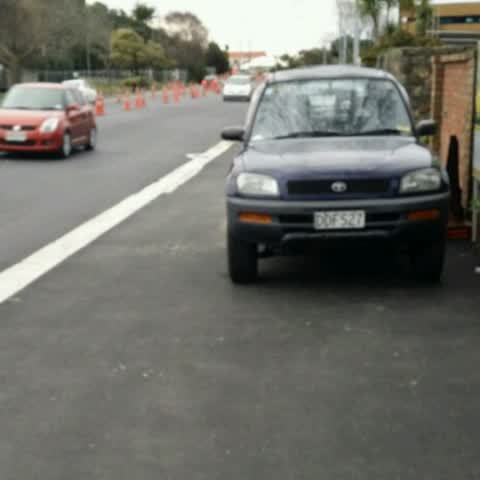
Roading/Streets, 2 Aug 2015
Cars parked on footpath (coastal pathway)
Roading/Streets, 2 Aug 2015
Cars parked in pedestrian area
Elsewhere on Celia Street
- 9 Celia Street, 6 reports
- 38 Celia Street, 6 reports
- 43 Celia Street, 5 reports
- 34 Celia Street, 5 reports
- 4 Celia Street, 4 reports
- 22 Celia Street, 4 reports
- 8 Celia Street, 3 reports
- 62 Celia Street, 3 reports
The street’s crash record
NZTA’s record names Celia Street in 3 crashes that hurt somebody since 2006, 1 seriously hurt, nobody killed.
The civic layer
This ground votes in Heathcote ward, the Spreydon-Cashmere-Heathcote community board is its local layer. Ward lines don’t always follow suburb lines; this one is measured at the pin, not the suburb’s centre. The whole roll is at /wards.
Celia Street, the whole record → · Everything about Redcliffs → · What stood on this ground → · On the map → · From the air, RetroLens holds the Crown’s aerials back to 1936; search the address there →
Questions, answered briefly
10 council reports on record since August 2015, most often roading/streets (6), graffiti (3), water leak (1).
Redcliffs, Christchurch, on Celia Street.
Nothing on the heritage register at this exact spot, the record around this ground →
Redcliffs Park, 278 m to its edge, 2 ha.