126 Beachville Road, Redcliffs
17 reports on record since October 2016 · 11 with photographs. The street’s heaviest record is 12 Beachville Road — 20 reports on file. Indicative rating valuation and school zones, hazards, bin day and what stood here before.
What gets reported here
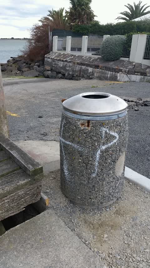
- Graffiti — 5
- Pavement - Damaged — 2
- Hazard — vehicle — 2
- Roads - General — 1
- Parks — 1
- Overgrown Vegetation — 1
Photographed here 11 on record




Reported here
 Pavement - Damaged —
 Since the road has been chip-sealed weeks ago, there have been heaps of small stones on the pavement, making it very dangerous for roller sk
 Hazard — vehicle —
 Overnight Camping . This isn’t even a vehicle park. Second van free camping here in 3 days. Allow one & soon there will be 10.
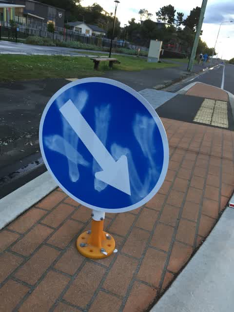
 Roads - General —
 Damaged road barrier
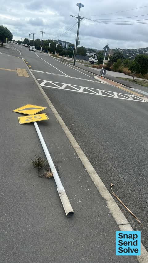
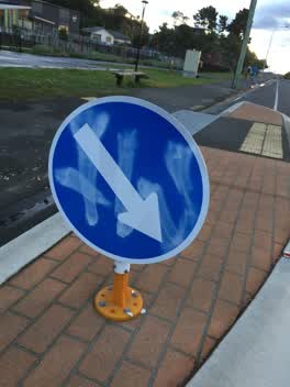
 Damaged Street Sign —
 Street signs
 Dumped Rubbish —
 Rubbish
 Hazard — vehicle —
 Illegal parking
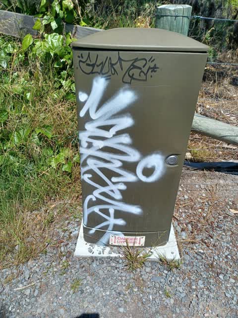
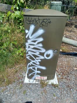
 Graffiti on a cabinet, pole or railway asset —
 Graffiti on water box next to primary school
- Facility - General Request —
- Pavement - Damaged —
- Overgrown Vegetation —
- Graffiti —
- Graffiti —
- Abandoned Vehicle —
 Graffiti —
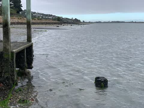
  Parks —
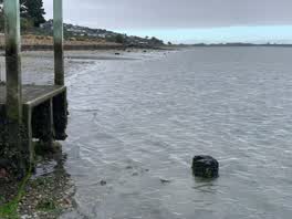
 Regarding the Wharf at the end of Celia Street Redcliffs. I have spent two says removing all all the accumulated rocks off the beach and the
 Graffiti —
 Graffiti —
Also reported on Beachville Road
- 12 Beachville Road — 20 reports
- 133 Beachville Road — 14 reports
- 124 Beachville Road — 10 reports
- 87 Beachville Road — 9 reports
- 111 Beachville Road — 9 reports
- 21 Beachville Road — 8 reports
- 8A Beachville Road — 7 reports
- 84 Beachville Road — 7 reports
The street’s crash record
NZTA’s record names Beachville Road in 14 crashes that hurt somebody since 2006 — 3 seriously hurt, nobody killed.
The green nearby
- Redcliffs Park — 17 m to the edge · Sports ground · 2 ha
- Mccormacks Bay — 220 m to the edge · Sports ground · 22 ha
- Balmoral Hill Reserve — 469 m to the edge
Parks within half a kilometre, measured to the boundary — the council’s open data.
The bus nearby
The closest Metro stops, within four hundred and fifty metres.
The tracks through here
- Walk and bike track through Redcliffs — 141 m to the line · walk · bike
Tracks whose line passes within half a kilometre, measured to the line itself — the council’s open data.
The named ground
Named water within 500 m of this address, measured to the line or the edge; Named places within 1.5 km of this address; the council’s own structure register — bridges, boardwalks and steps standing nearby — the open map’s record.
The remembered names nearby
- Donated by the Family of Dennis and Eilene Watson — 12 m away ·
DONATED BY THE FAMILY OF DENNIS AND EILENE WATSON / LOCAL RESIDENTS SINCE 1954 / 'We are t
· 2007
Inscribed plaques within two hundred and fifty metres — the register’s pins, not surveyed spots. The whole roll is at /plaques.
Renting nearby
new bonds in Redcliffs ran about $700 a week — $150 above the city median of $550 — the suburb page keeps the rent record →.
What was here — Te Ana o Hineraki/Moa Bone Point Cave and Setting
179 m away · 8A Balmoral Lane · located to ±58 m · the place’s own record →
On the register. Nothing researched here yet.
The civic layer
This ground votes in Heathcote ward — the Spreydon-Cashmere-Heathcote community board. Ward lines don’t always follow suburb lines; this one is measured at the pin, not the suburb’s centre.
What stood on this ground → · On the map → · From the air — the Crown’s aerials back to 1936; search the address on RetroLens →
Questions, answered briefly
17 council reports on record since October 2016 — most often graffiti (5), pavement - damaged (2), hazard — vehicle (2).
Redcliffs, Christchurch — on Beachville Road.
The heritage register names a place at or beside it — Te Ana o Hineraki/Moa Bone Point Cave and Setting.
Redcliffs Park — 17 m to its edge, 2 ha.