200A 200A, Redcliffs
16 reports on record since June 2019 · 15 with photographs. Indicative rating valuation and school zones, hazards, bin day and what stood here before.
What gets reported here
- Parks — 8
- Water Leak — 3
- Graffiti — 3
- Water Supply — 1
- Graffiti - Public Property — 1
Photographed here 15 on record
Reported here
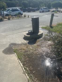 Parks —
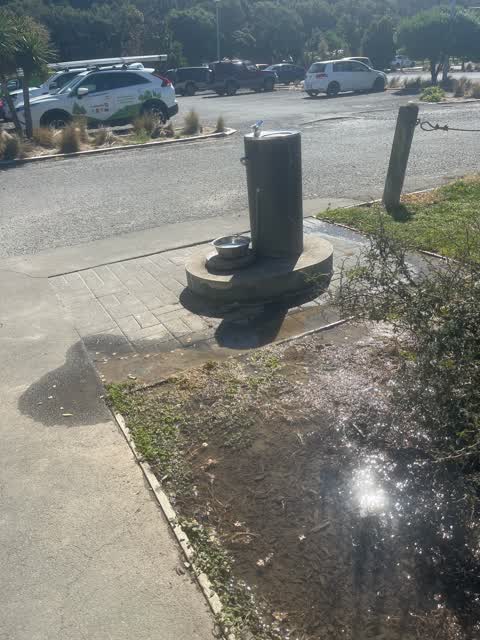
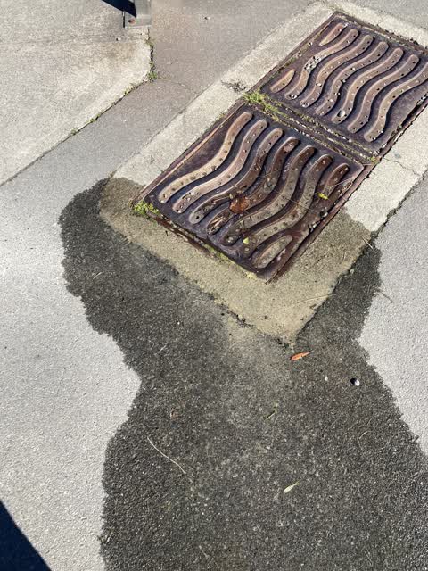
 Pipe under bricks is leaking water constantly
- Water Leak —
Large amount of water around Base of Water fountain . Looks like water is coming from the paving not the fountain itself.
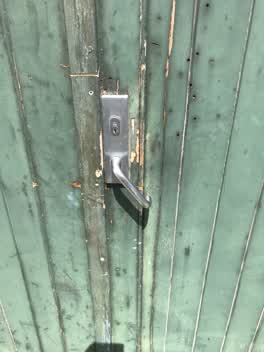 Parks —
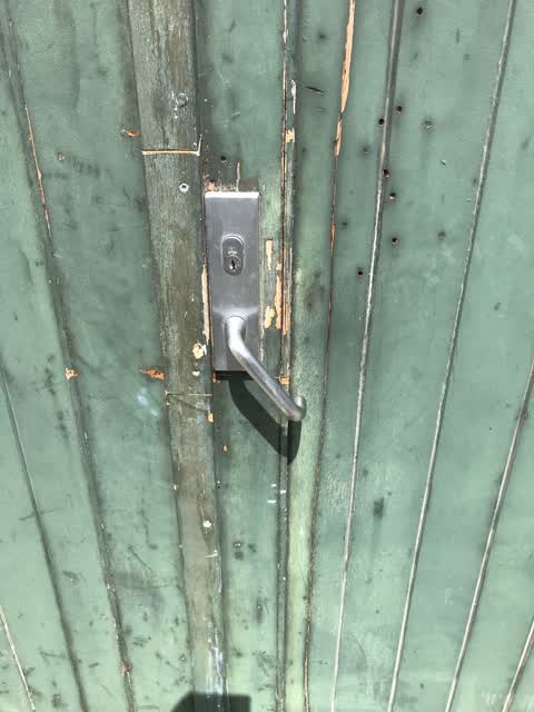
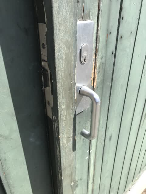
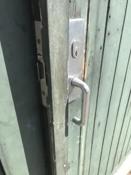
 Attempted break in and broken lock at Barnett Park
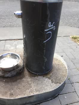 Graffiti —
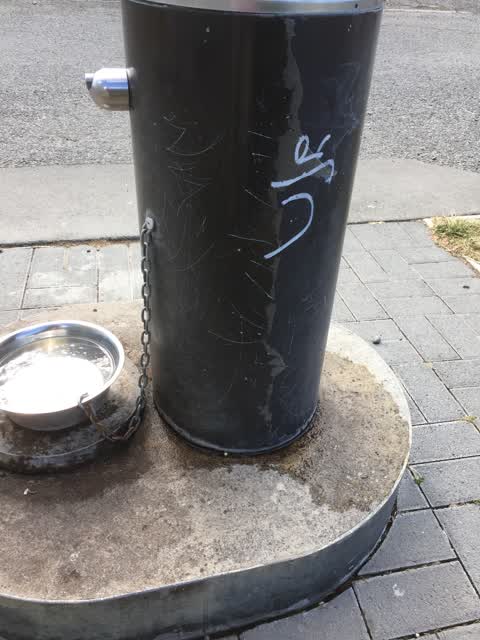
 Drinking fountain in Barnett Park
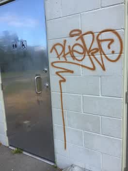 Graffiti —
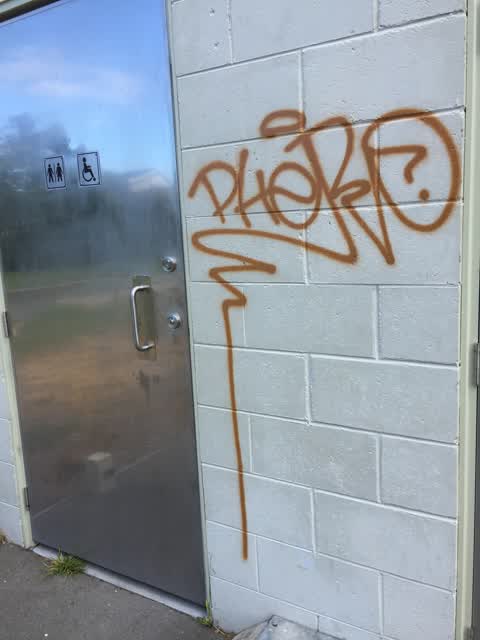
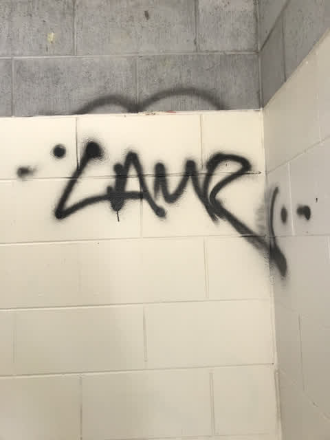
 Graffiti on toilet in Barnett Park
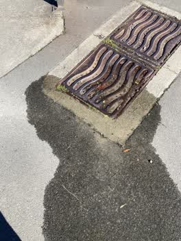 Water Leak —
 Water leak outsode moa kifs, barnett park redcliff
 Parks —
  Parks —
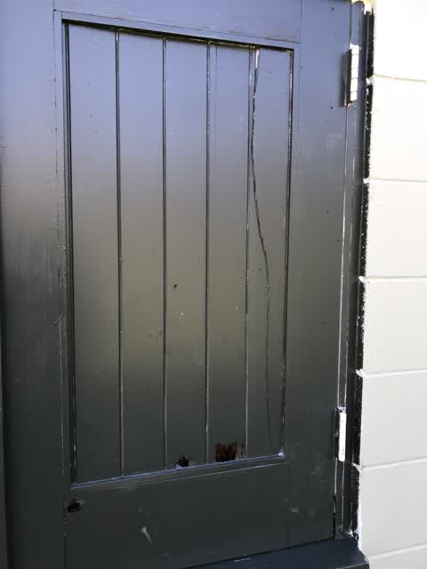
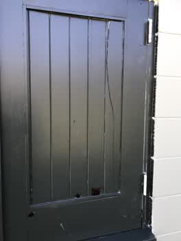
 Vandals have broken the window shutter, which also becoming rotten Needs replacement
 Parks —
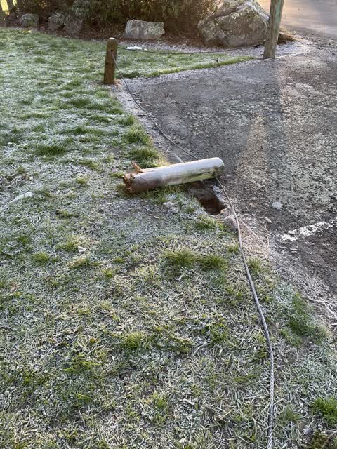
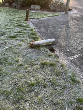
 Post in the opposite corner is also broken.
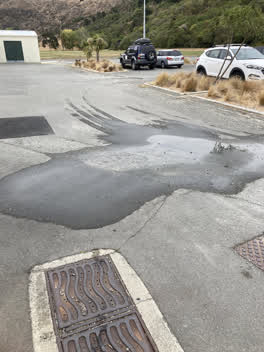 Water Leak —
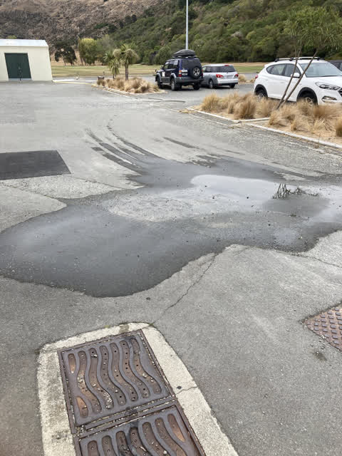
 Water seaping through car park
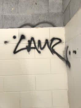 Graffiti —
 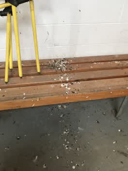 Parks —
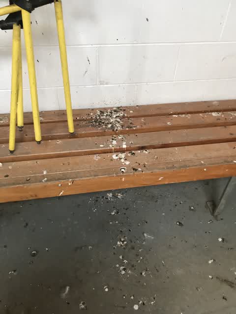
 Barnett Park dressing room have bern home to starlings getting in through broken/open roof
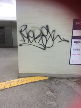 Parks —
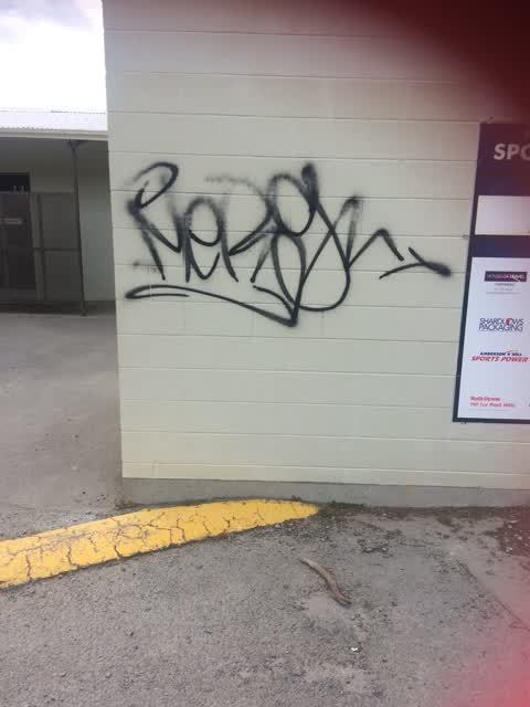
 Graffiti on wall.
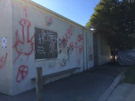 Graffiti - Public Property —
 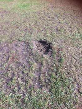 Parks —
 Hole in football pitch approx 60x30cm and 5cm deep.
Water Supply —
Pump station is leaking
The street it is on
The green nearby
- Barnett Park Sports Grounds — you are in it · Sports ground · 8 ha
- Moncks Cave Reserve — 185 m to the edge
- Yacht Club Reserve — 361 m to the edge
- Beachville Reserve — 398 m to the edge
- Augusta Reserve — 490 m to the edge
Parks within half a kilometre, measured to the boundary — the council’s open data.
On the doorstep
- Four Square Redcliffs — 289 m away · Supermarkets
- Two Thumb Redcliffs — 308 m away · Bars & pubs
- Redcliffs Fish & Chips — 312 m away · Fast food
- Black Suede — 315 m away · Hairdressers
Businesses within four hundred metres, measured at the pin — OpenStreetMap and the council directories.
The bus nearby
The closest Metro stops, within four hundred and fifty metres.
The tracks through here
- Walk and bike track through Redcliffs — 98 m to the line · walk · bike
Tracks whose line passes within half a kilometre, measured to the line itself — the council’s open data.
The named ground
Named places within 1.5 km of this address; the council’s own structure register — bridges, boardwalks and steps standing nearby — the open map’s record.
The remembered names nearby
- A Joint Project Between the Christchurch City Council — 54 m away ·
A JOINT PROJECT BETWEEN THE CHRISTCHURCH CITY COUNCIL AND THE ROTARY CLUB OF FERRYMEAD JAN
· 2009 - A Sumner … — 57 m away ·
A SUMNER …
· 2009 - Mary Moodie Founder and Mother of Foster Care 1926 – 1995 — 79 m away ·
MARY MOODIE FOUNDER AND MOTHER OF FOSTER CARE 1926 – 1995
· 2009
Inscribed plaques within two hundred and fifty metres — the register’s pins, not surveyed spots. The whole roll is at /plaques.
Renting nearby
new bonds in Redcliffs ran about $700 a week — $150 above the city median of $550 — the suburb page keeps the rent record →.
What was here — Redcliffs Tram/Bus Shelter, Wall and Setting
140 m away · located to ±19 m · the place’s own record →
On the register. Nothing researched here yet.
What was here — Monck's Cave and Setting
201 m away · 2 Moncks Spur Road · located to ±28 m · the place’s own record →
On the register. Nothing researched here yet.
The civic layer
This ground votes in Heathcote ward — the Spreydon-Cashmere-Heathcote community board. Ward lines don’t always follow suburb lines; this one is measured at the pin, not the suburb’s centre.
What stood on this ground → · On the map → · From the air — the Crown’s aerials back to 1936; search the address on RetroLens →
Questions, answered briefly
16 council reports on record since June 2019 — most often parks (8), water leak (3), graffiti (3).
Redcliffs, Christchurch — on A.
The heritage register names 2 places at or beside it — Redcliffs Tram/Bus Shelter, Wall and Setting, Monck's Cave and Setting.
Barnett Park Sports Grounds — the address is inside it, 8 ha.