Flooding
Reported Wednesday, 13 June 2018 at 8:05 am, lat/lng: (-43.5249238,172.5794079).
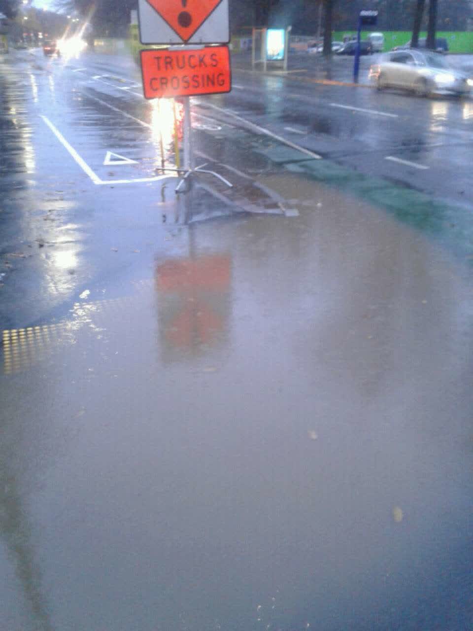
The reporter’s words
dangerous crossing floods across road
The filing
- Filed
- Wednesday, 13 June 2018 at 8:05 am
- Report number
- #445,136
- Filed under
- water
- Coordinates
- the pin on the map →
The council’s work orders, near this pin
- Spillage - e.g. Fuel Chemicals (Road)7 m away · resolved 11 Oct 2018, took 21 hours
- Meter box7 m away · open, filed 10 Aug 2021
- Litter (Road)16 m away · resolved 30 Apr 2019, took 6 days
- Spillage - e.g. Fuel Chemicals (Road)16 m away · resolved 8 Oct 2021, took 4 hours
- Safety Improvements16 m away · resolved 21 Oct 2022, took 8 weeks
- Service Lids/Manhole17 m away · resolved 12 Jun 2023, took 8 months
- Signs22 m away · resolved 17 Oct 2023, took 19 months
- Road Asset (e.g.footpathroadfurniture)23 m away · resolved 29 Jul 2020, took 10 months
MyCouncilTicket is the council’s own work-order stream, a different door from the public report above, and the same job can stand in both. The whole ticket roll →
Where this sits
The feed listed this report when a sweep caught it 5 Sept 2026, it has not been listed since. The record here does not move.