Roading/Streets
Reported Monday, 11 March 2019 at 3:42 pm, Location(latitude=-43.55906688236391, longitude=172.6767248287797).
The reporter’s words
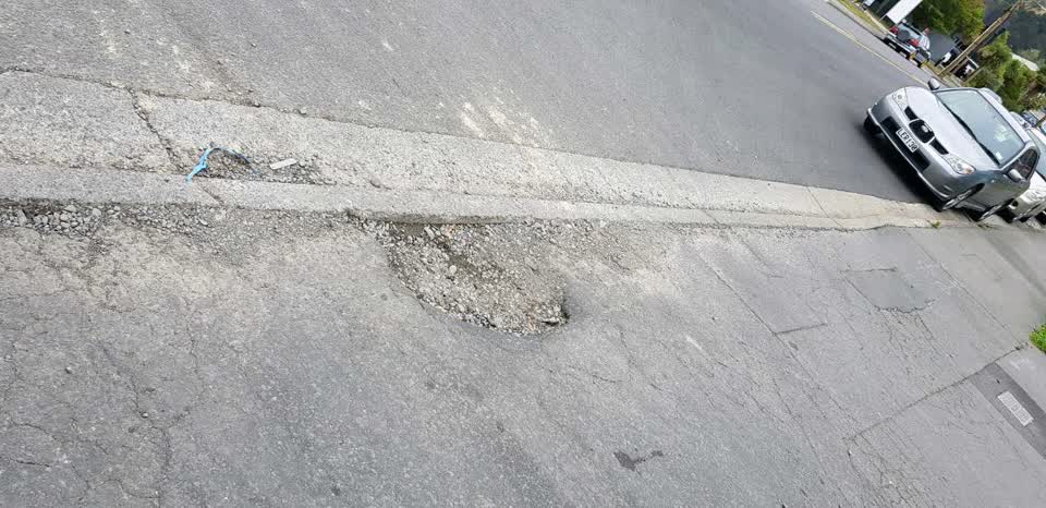
Pot hole in pavement. Entrance to 49 - 55 Curries Rd
The filing
- Filed
- Monday, 11 March 2019 at 3:42 pm
- Report number
- #646,300
- Filed under
- roads
- Coordinates
- the pin on the map →
Where this sits
The suburblongitude=172.6767248287797)the suburb, in depthThe problemRoading/Streetsevery filing of its kind on the city’s booksThe date11 Marchthis date in the archive, across the yearsThe year2019the year’s shelf and ledgerThe mapOn the mapthe pin, among its neighboursBeforeWhat stood herewhat the archive knows of this ground
The feed listed this report when a sweep caught it 5 Sept 2026, it has not been listed since. The record here does not move.