Roading/Streets
Reported Tuesday, 9 June 2015 at 4:26 pm, 110, Grahams Road, Burnside, 8053, Canterbury.
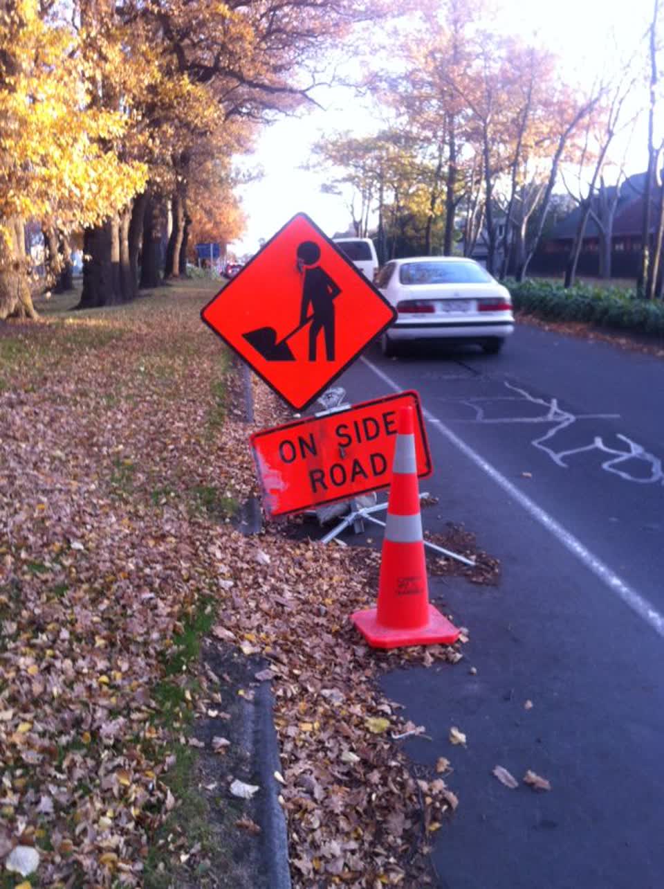
The reporter’s words
This signage has been sitting right on cycle way for about 6 months. No maintenance work has been done on side road. Also signage lying face down on median strip Grahams and Memorial Ave. I use cycle way and have to pull out into busy traffic while this signage is there. Please remove. Thank you.
The filing
- Filed
- Tuesday, 9 June 2015 at 4:26 pm
- Report number
- #73,898
- Filed under
- roads
- Coordinates
- the pin on the map →
The council’s work orders, near this pin
- Potholes10 m away · resolved 6 Nov 2025, took 4 weeks
- Potholes16 m away · resolved 17 Mar 2025, took 10 weeks
- Pests and insects18 m away · resolved 3 Sept 2026, took 8 days
- Potholes18 m away · resolved 17 Mar 2025, took 10 weeks
- Sweeping19 m away · resolved 3 May 2023, took 4 hours
- Potholes20 m away · resolved 9 Aug 2023, took 3 days
- Tree (Road)21 m away · resolved 19 Mar 2021, took 11 days
- Trees22 m away · resolved 3 Jan 2025, took 10 months
MyCouncilTicket is the council’s own work-order stream, a different door from the public report above, and the same job can stand in both. The whole ticket roll →
Where this sits
The pin119 Grahams Roadlands 10 m from this filed address, its whole recordThe streetGrahams Roadthe street the pin lands nearest, its record, every report on itThe suburbBurnsidethe suburb, in depthThe problemRoading/Streetsevery filing of its kind on the city’s booksThe date9 Junethis date in the archive, across the yearsThe year2015the year’s shelf and ledgerThe mapOn the mapthe pin, among its neighboursBeforeWhat stood herewhat the archive knows of this ground
The feed listed this report when a sweep caught it 5 Sept 2026, it has not been listed since. The record here does not move.