Overgrown Vegetation
Reported Wednesday, 28 January 2026 at 8:26 pm, 36 Flavell Street, Heathcote Valley, Christchurch 8022, New Zealand.
The reporter’s words
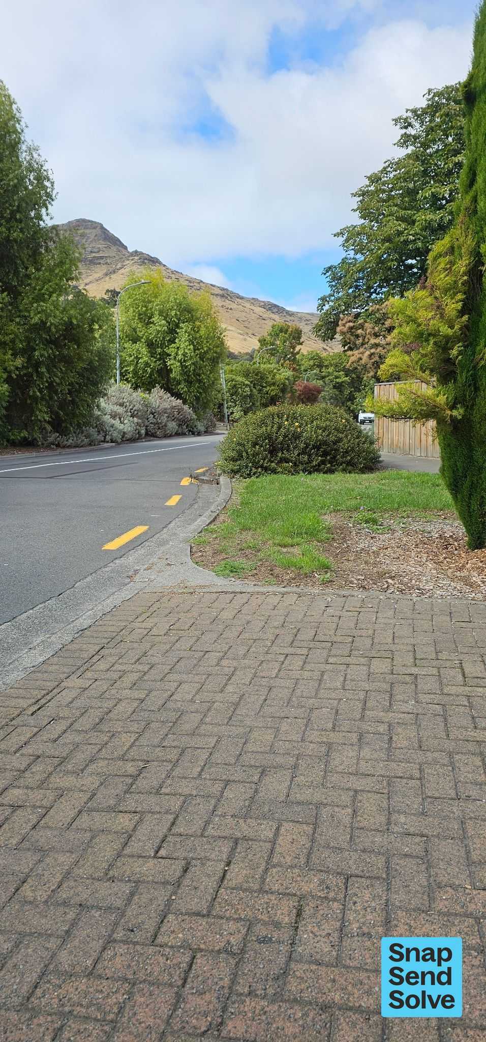
Previous messages have been ignored. Please lower the height of the two hyperpericum bushes growing on the corner of Flavell and Bridle Path Rds. Exiting Flavell onto Bridlepath is dangerous in a small car- one must actually drive onto Bridle Path to see if a vehicle is coming down the road which is ridiculous and dangerous. The photo was taken from the driver's window and the visible vehicle is parked. Don't wait for Anzac tidy-up, this isn’t sbout how it looks, it's about safety.
The filing
- Filed
- Wednesday, 28 January 2026 at 8:26 pm
- Report number
- #7,634,408
- Filed under
- green
- Coordinates
- the pin on the map →
Also at this address one of 15
 Water Leak14 Aug 2026
 Water Leak14 Aug 2026
 Trees - General25 Feb 2026
 Overgrown Vegetation7 Nov 2025
 Water Leak9 Oct 2025
 Overgrown Vegetation5 Jan 2024
The council’s work orders, near this pin
- Trees0 m away · resolved 28 Nov 2023, took 4 weeks
- Trees3 m away · resolved 11 May 2023, took 4 weeks
- Garden/Landscaped Area4 m away · resolved 20 Apr 2023, took 4 months
- Garden/Landscaped Area4 m away · resolved 24 Jan 2024, took 3 weeks
- Garden (Road)5 m away · resolved 18 Dec 2019, took 14 days
- Garden (Road)6 m away · resolved 28 Oct 2021, took 7 days
- Garden (Road)7 m away · resolved 6 Apr 2022, took 8 weeks
- Graffiti7 m away · resolved 2 May 2020, took 4 weeks
MyCouncilTicket is the council’s own work-order stream, a different door from the public report above, and the same job can stand in both. The whole ticket roll →
Where this sits
The address36 Flavell Streetone of 15 reports at this address, the address’s whole recordThe streetFlavell Streetthe street’s record, every report on itThe suburbHeathcote Valleythe suburb, in depthThe problemOvergrown Vegetationevery filing of its kind on the city’s booksThe date28 Januarythis date in the archive, across the yearsThe year2026the year’s shelf and ledgerThe mapOn the mapthe pin, among its neighboursBeforeWhat stood herewhat the archive knows of this ground
The feed listed this report when a sweep caught it 6 Sept 2026, it has not been listed since. The record here does not move.