11 Kereru Lane, Riccarton
17 reports on record since October 2015 · 10 with photographs. The most-reported address on Kereru Lane. Indicative rating valuation and school zones, hazards, bin day and what stood here before.
What gets reported here
Photographed here 10 on record


Reported here
 Graffiti on a fence, building or structure —
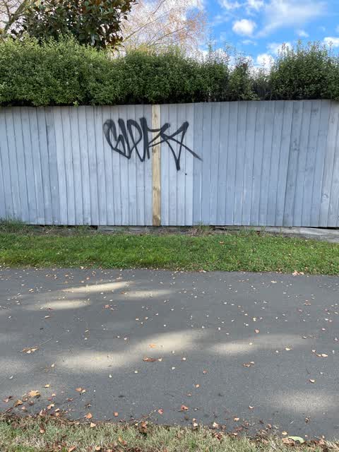
tag on fence
 Graffiti on a fence, building or structure —
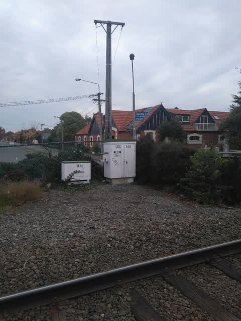
On container in Mona Vale car park visible from railway line
- Graffiti —
- Vandalism - General —
- Graffiti —
- Graffiti —
- Graffiti —
- Graffiti —
- Graffiti —
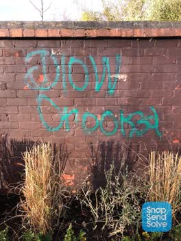 Graffiti —
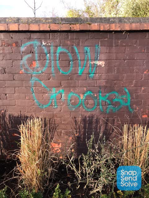
This is on the brick wall at the back of Mona Vale. This is the large public car park that runs of Mona Vale Ave, next to the train track.
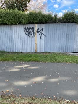 Graffiti —
Not actually Keruru Lane but along the cycle walkway by the railway line.
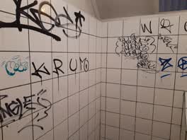 Graffiti —
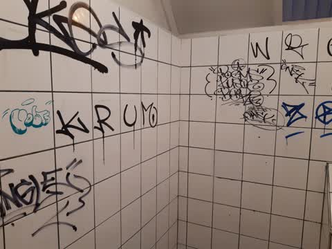
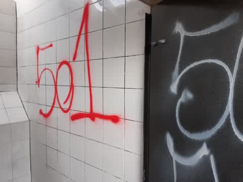
Washington way Skate park toilets
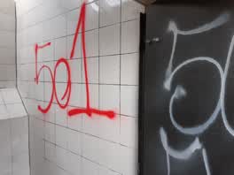 Graffiti —
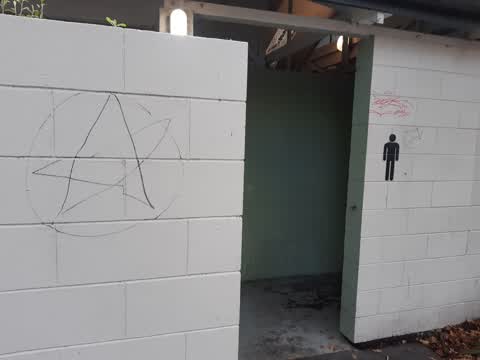
Hagley park North. Inside the Park next to Lake Albert. I had used this picture in the Washington Way Skate park by mistake.
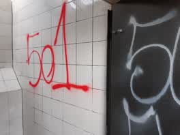 Graffiti —
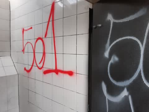
Washington way Skatepark toilets again
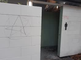 Graffiti —
The toilets by the tennis courts Armagh st just before you get into the Botanic Gardens
Graffiti —
KiwiRail. Actually, 'look for brains' is quite funny.
Wastewater/Stormwater —
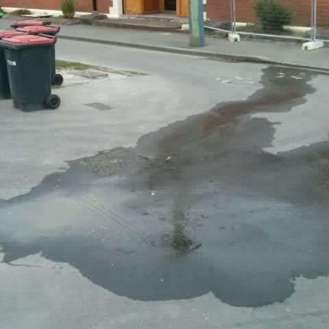
This pipe has been leaking since June. A hazard for cyclists if it freezes.
Also reported on Kereru Lane
- 10 Kereru Lane — 9 reports
- 1 Kereru Lane — 9 reports
- 2 Kereru Lane — 5 reports
- 11-2 Kereru Lane — 3 reports
- 3 Kereru Lane — 1 report
The green nearby
- Mona Vale — you are in it · Botanic · 5 ha
- Avon River Esplanade Reserve — 352 m to the edge
- Daresbury Park — 434 m to the edge
- Little Hagley Park — 447 m to the edge · Botanic · 7 ha
Parks within half a kilometre, measured to the boundary — the council’s open data.
On the doorstep
- Britten Stables — 68 m away · B&Bs
- Mona Vale Homestead — 110 m away · Restaurants
- Mona Vale Homestead & Gardens Venue — 140 m away · Cafés
- Mona Vale Homestead and Pantry — 155 m away · Cafés
Businesses within four hundred metres, measured at the pin — OpenStreetMap and the council directories.
The bus nearby
- Mona Vale Ave near Kilmarnock St — 265 m away · route 130
- Mona Vale Ave near Kilmarnock St — 273 m away · route 130
The closest Metro stops, within four hundred and fifty metres.
The tracks through here
- Walk and bike track through Riccarton — 26 m to the line · walk · bike
- Walk and bike track through Riccarton — 83 m to the line · walk · bike
- Walk and bike track through Riccarton — 86 m to the line · walk · bike
- Walk and bike track through Riccarton — 86 m to the line · walk · bike
- Walk and bike track through Riccarton — 247 m to the line · walk · bike
Tracks whose line passes within half a kilometre, measured to the line itself — the council’s open data.
The named ground
Named water within 500 m of this address, measured to the line or the edge; Named places within 1.5 km of this address; the council’s own structure register — bridges, boardwalks and steps standing nearby — the open map’s record.
The remembered names nearby
- To the People of Canterbury / 'The Mighty Kauri' — 51 m away ·
To the people of Canterbury / 'The mighty Kauri' / Donated by / Harry & Beth (illegible) /
· 2009 - Mona Vale Rose Garden - Opened 1994 — 54 m away ·
Mona Vale Rose Garden - opened 1994 / Contributions for the purchase of roses in this gard
· 2009 - In Memory of / Sean J. Courtney & / Bernard T. Courtney — 70 m away ·
In Memory of / Sean J. Courtney & / Bernard T. Courtney / Mates enjoying the view
· 2009
Inscribed plaques within two hundred and fifty metres — the register’s pins, not surveyed spots. The whole roll is at /plaques.
Renting nearby
new bonds in Riccarton ran about $544 a week — about the city median — the suburb page keeps the rent record →.
What was here — Mona Vale Lodge and Setting
110 m away · 40 Mona Vale Avenue · located to ±13 m · the place’s own record →
On the register. Nothing researched here yet.
What was here — Former Dwelling and Setting, Mona Vale
156 m away · 63 Fendalton Road · located to ±26 m · the place’s own record →
On the register. Nothing researched here yet.
What was here — Mona Vale Bath House and Setting
182 m away · located to ±10 m · the place’s own record →
On the register. Nothing researched here yet.
What was here — Mona Vale Grounds
on this spot · located to ±293 m · the place’s own record →
On the register. Nothing researched here yet.
The civic layer
This ground votes in Fendalton ward — the Fendalton-Waimairi-Harewood community board. Ward lines don’t always follow suburb lines; this one is measured at the pin, not the suburb’s centre.
What stood on this ground → · On the map → · From the air — the Crown’s aerials back to 1936; search the address on RetroLens →
Questions, answered briefly
17 council reports on record since October 2015 — most often graffiti (13), graffiti on a fence, building or structure (2), wastewater/stormwater (1).
Riccarton, Christchurch — on Kereru Lane.
The heritage register names 4 places at or beside it — Mona Vale Lodge and Setting, Former Dwelling and Setting, Mona Vale.
Mona Vale — the address is inside it, 5 ha.