142 Peverel Street, Riccarton
11 reports on record since January 2021 · 11 with photographs. The street’s heaviest record is 125 Peverel Street — 48 reports on file. Indicative rating valuation and school zones, hazards, bin day and what stood here before.
What gets reported here
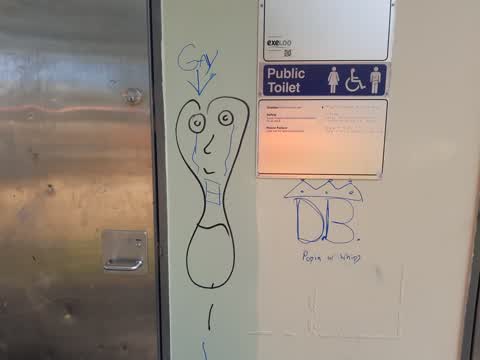
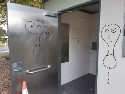
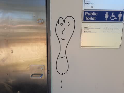
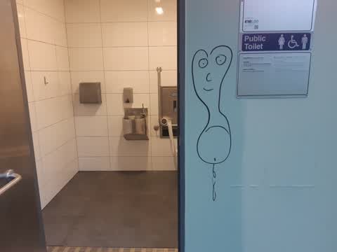
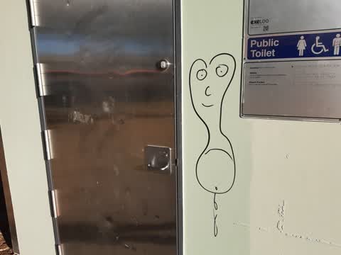
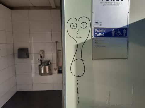
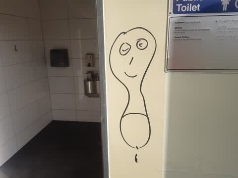
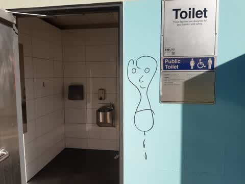
- Graffiti — 9
- Rubbish/Recycling — 1
- Parks — 1
Photographed here 11 on record
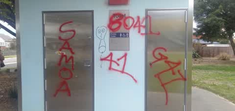
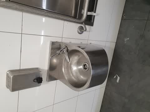
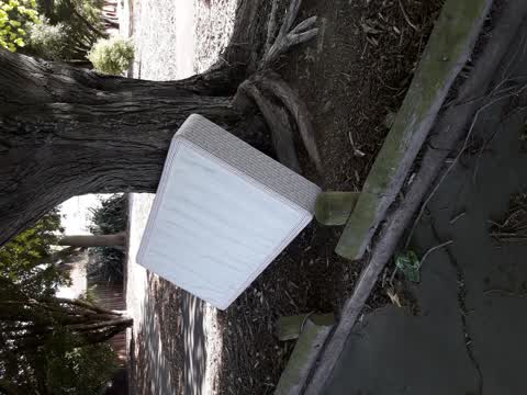
Reported here
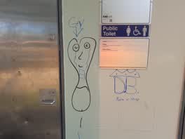 Graffiti —
Harrington Park toilet again
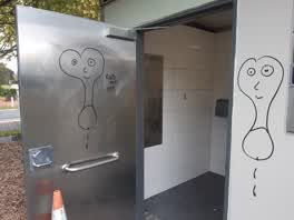 Graffiti —
Harrington Park toilet ??
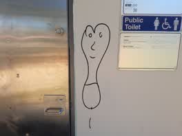 Graffiti —
Harrington Park toilet (ongoing)
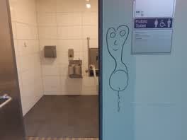 Graffiti —
Harrington Park toilet
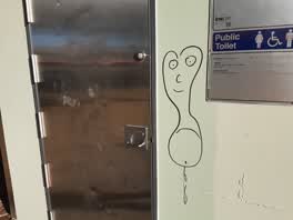 Graffiti —
Harrington Park toilet block
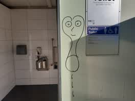 Graffiti —
Harrington Park toilet again
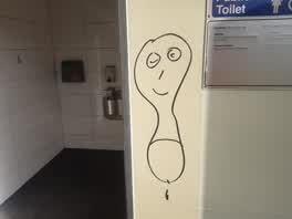 Graffiti —
Harrington Park toilet again
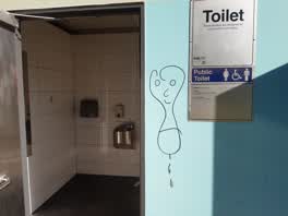 Graffiti —
Harrington Park toilet
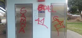 Graffiti —
Harrington Park toilets, basketball court, Harington Park sign. Needs urgent attention as we have a community day on Sunday 13 March
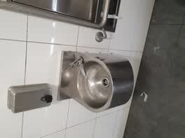 Parks —
water tap is broken in toilet and lock sticks on door
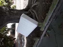 Rubbish/Recycling —
matress
Also reported on Peverel Street
- 125 Peverel Street — 48 reports
- 130 Peverel Street — 43 reports
- 120 Peverel Street — 36 reports
- 139 Peverel Street — 30 reports
- 31 Peverel Street — 28 reports
- 143 Peverel Street — 27 reports
- 2 Peverel Street — 26 reports
- 20 Peverel Street — 23 reports
The street’s crash record
NZTA’s record names Peverel Street in 41 crashes that hurt somebody since 2006 — 1 person killed, 4 seriously hurt.
The green nearby
- Harrington Park — you are in it · Sports ground · 1 ha
- Paeroa Reserve — 208 m to the edge
- Shand Crescent Reserve — 352 m to the edge
- Middleton Park — 416 m to the edge · Sports ground · 5 ha
Parks within half a kilometre, measured to the boundary — the council’s open data.
On the doorstep
- Harrington Park Dairy — 46 m away · Dairies & convenience
- Halo Venue — 247 m away · Venues & events
- Three Elements Chinese Restaurant — 356 m away · Restaurants
Businesses within four hundred metres, measured at the pin — OpenStreetMap and the council directories.
The bus nearby
The closest Metro stops, within four hundred and fifty metres.
The tracks through here
- Walk and bike track through Riccarton — 389 m to the line · walk · bike
- Walk and bike track through Riccarton — 437 m to the line · walk · bike
- Walk and bike track through Riccarton — 447 m to the line · walk · bike
- Walk and bike track through Riccarton — 472 m to the line · walk · bike
Tracks whose line passes within half a kilometre, measured to the line itself — the council’s open data.
The named ground
the council’s own structure register — bridges, boardwalks and steps standing nearby — the open map’s record.
Renting nearby
new bonds in Riccarton ran about $544 a week — about the city median — the suburb page keeps the rent record →.
The civic layer
This ground votes in Riccarton ward — the Halswell-Hornby-Riccarton community board. Ward lines don’t always follow suburb lines; this one is measured at the pin, not the suburb’s centre.
What stood on this ground → · On the map → · From the air — the Crown’s aerials back to 1936; search the address on RetroLens →
Questions, answered briefly
11 council reports on record since January 2021 — most often graffiti (9), rubbish/recycling (1), parks (1).
Riccarton, Christchurch — on Peverel Street.
Nothing on the heritage register at this exact spot — the record around this ground →
Harrington Park — the address is inside it, 1 ha.