169 Clarence Street, Riccarton
18 reports on record since November 2020 · 10 with photographs. The street’s heaviest record is 134 Clarence Street — 52 reports on file. Indicative rating valuation and school zones, hazards, bin day and what stood here before.
What gets reported here
Photographed here 10 on record


Reported here
 Graffiti on a traffic light pole or cabinet, or wa —
  Water Leak —
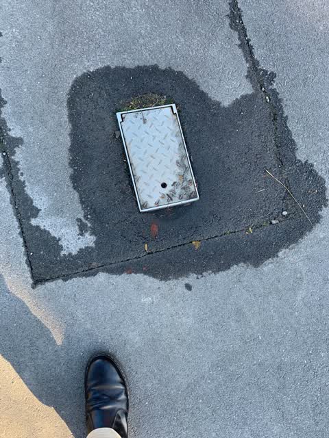
 Just the cone that was left here to cover the hole that was cut it has all been repaired, so the cone is by the letter box for pick the othe
 Water Leak —
  Water Leak —
 Water is pouring up through the pavement.
 Graffiti on a cabinet, pole or railway asset —
  Graffiti somewhere else —
  Dumped Rubbish —
 Old childhood bicycle needs removal from the verge outside 169 Clarence Street.
- Poles and Signage - General —
- Overgrown Vegetation —
- Graffiti —
- Dumped Rubbish —
- Dumped Rubbish —
- Dumped Rubbish —
- Dumped Rubbish —
 Water Leak —
 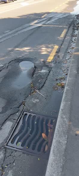 Flooding —
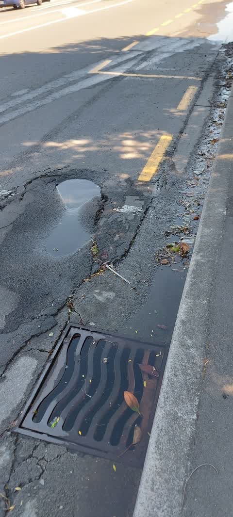
 Sink hole in road. Blocked drain. Water running along Dilworth Street as well at steady flow
- Roading/Streets —
The road keeps sinking
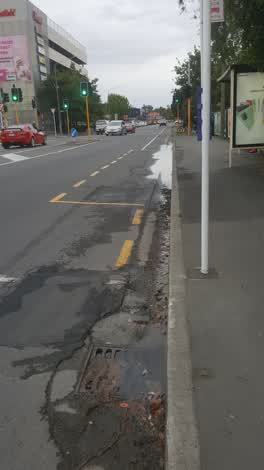 Roading/Streets —
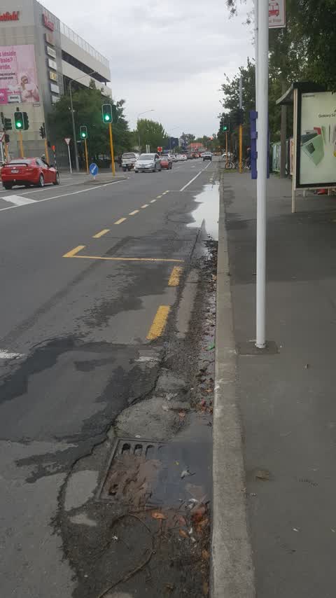
 water coming from under road way flooding.
Also reported on Clarence Street
- 134 Clarence Street — 52 reports
- 172 Clarence Street — 51 reports
- 174 Clarence Street — 20 reports
- 147A Clarence Street — 18 reports
- 138A Clarence Street — 17 reports
- 181 Clarence Street — 16 reports
- 143 Clarence Street — 16 reports
- 105 Clarence Street — 16 reports
The street’s crash record
NZTA’s record names Clarence Street in 124 crashes that hurt somebody since 2006 — 1 person killed, 23 seriously hurt.
The green nearby
- Clarence Reserve — 72 m to the edge
- Picton Reserve — 148 m to the edge
- Mandeville Reserve — 425 m to the edge
Parks within half a kilometre, measured to the boundary — the council’s open data.
The civic shelf nearby
- Riccarton Service Centre — 132 m away · Service centre
Libraries, halls and the rest within half a kilometre — the council’s open data.
On the doorstep
- Sewing Extra — 59 m away · Tailors
- 123 Motel — 115 m away · Motels
- Drexels — 141 m away · Restaurants
- Riccarton Community Centre — 147 m away · Venues & events
Businesses within four hundred metres, measured at the pin — OpenStreetMap and the council directories.
The bus nearby
- Clarence St near Dilworth St — 14 m away · route 120, the Orbiter (anticlockwise)
- Clarence St near Peverel St — 94 m away · route 120, the Orbiter (clockwise)
The closest Metro stops, within four hundred and fifty metres.
The tracks through here
- Walk and bike track through Riccarton — 8 m to the line · walk · bike
- Walk and bike track through Riccarton — 159 m to the line · walk · bike
- Walk and bike track through Riccarton — 280 m to the line · walk · bike
- Walk and bike track through Riccarton — 287 m to the line · walk · bike
- Walk and bike track through Riccarton — 297 m to the line · walk · bike
Tracks whose line passes within half a kilometre, measured to the line itself — the council’s open data.
The named ground
Named water within 500 m of this address, measured to the line or the edge; Named places within 1.5 km of this address; the council’s own structure register — bridges, boardwalks and steps standing nearby — the open map’s record.
Renting nearby
new bonds in Riccarton ran about $544 a week — about the city median — the suburb page keeps the rent record →.
The civic layer
This ground votes in Riccarton ward — the Halswell-Hornby-Riccarton community board. Ward lines don’t always follow suburb lines; this one is measured at the pin, not the suburb’s centre.
What stood on this ground → · On the map → · From the air — the Crown’s aerials back to 1936; search the address on RetroLens →
Questions, answered briefly
18 council reports on record since November 2020 — most often dumped rubbish (5), water leak (4), roading/streets (2).
Riccarton, Christchurch — on Clarence Street.
Nothing on the heritage register at this exact spot — the record around this ground →
Clarence Reserve — 72 m to its edge.