43 Straven Road, Riccarton
26 reports on record since January 2017 · 17 with photographs. The most-reported address on Straven Road. Indicative rating valuation and school zones, hazards, bin day and what stood here before.
What gets reported here
- Graffiti — 7
- Traffic Signals — 6
- Roads - General — 3
- Hazard — vehicle — 3
- Roading/Streets — 2
- Pothole — 2
Photographed here 17 on record




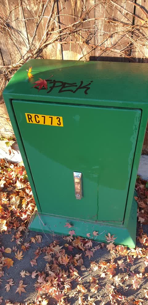
Reported here
 Traffic Signals —
  Traffic Signals —
 Pedestrian signal doesn’t work to activate pedestrian crossing
 Roads - General —
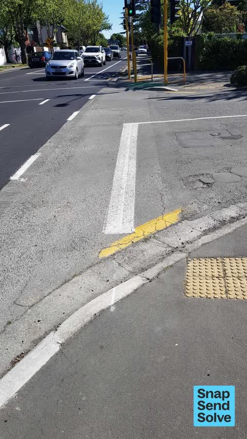
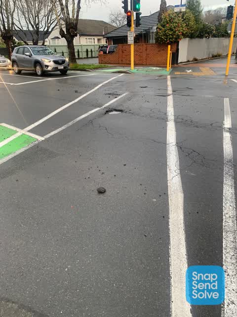
 Potholes emerging adjacent to recently completed sealing works
- Traffic Signals —
Before the road repairs last week the bike crossing gave priority to bikes and pedestrians. This seems to have vanished! Wait time is now ov
- Traffic Signals —
Neither the cycle or pedestrian crossing signals are working at the Straven Rd Matai St intersection. Very busy road and on the cycleway- ro
- Traffic Signals —
Pedestrian/cycle buttons no longer work. Delay is at least 2 minutes, and the detection loops don't seem to be working from either direction
- Traffic Signals —
Seems like the traffic signal for the cycleway isn't working correctly heading east. I noticed when I ride over the sensor, the red light at
 Roads - General —
 Hi! Along the uni cycle way (at Straven Road, as well as at Kahu Road) the cycle sensor is not triggered if the cycle traffic light has turn
 Vandalism - General —
 Information plaque has been part pulled from pedestrian crossing post by Boys High
 Hazard — vehicle —
 Parked on footpath
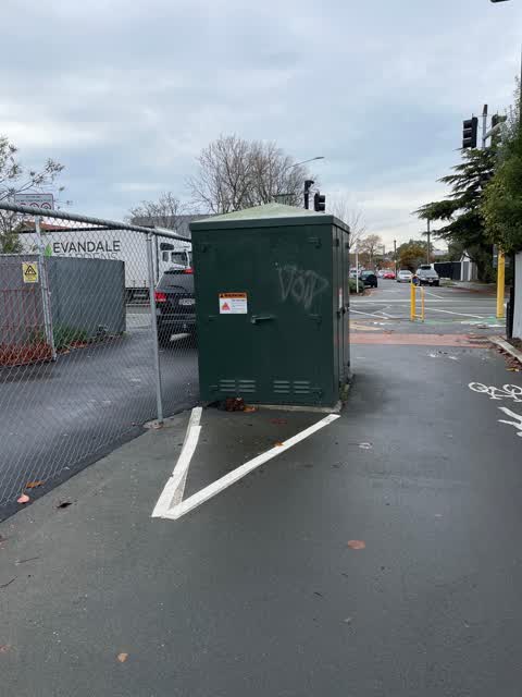
 Graffiti —
  Hazard — vehicle —
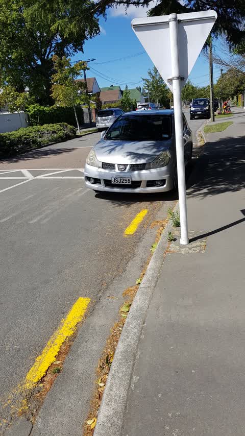
 This location (west side of the crossing, outside 43 Straven Road) regularly has a vehicle illegally parked here. This makes it very danger
- Hazard — vehicle —
- Pavement - General —
- Roads - General —
- Pavement - Damaged —
- Pothole —
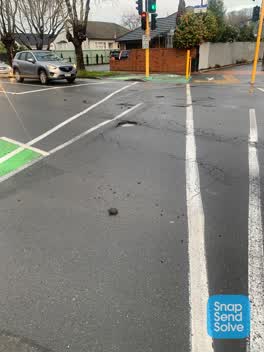 Pothole —
 Increased pothole leaving large debris over road and cycle crossing.
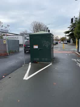 Graffiti —
 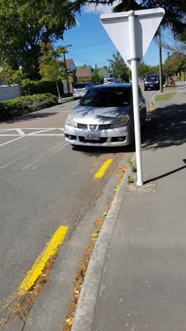 Roading/Streets —
 Yellow lines need to be extended past the speed hump to ensure safe egress from Matai St onto Straven Rd. This parked vehicle impedes.
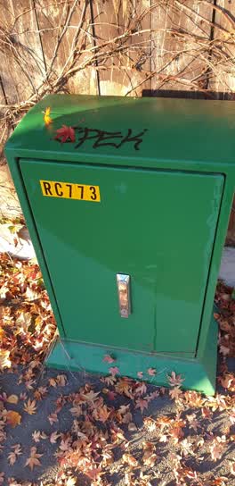 Graffiti —
 83 matai west
Graffiti —
Resending because according to email reply re incident 472393 and 472392, the photo did not upload. This is a duplicate report. The origina
Graffiti —
Graffiti —
Graffiti —
Roading/Streets —
A spigot has been left protruding from the ground following the removal of a pole associated with the c6cle crossing. In its current state i
Also reported on Straven Road
- 5 Straven Road — 25 reports
- 53 Straven Road — 10 reports
- 50 Straven Road — 8 reports
- 7A Straven Road — 7 reports
- 23 Straven Road — 7 reports
- 17 Straven Road — 7 reports
- 6 Straven Road — 6 reports
- 28 Straven Road — 6 reports
The street’s crash record
NZTA’s record names Straven Road in 55 crashes that hurt somebody since 2006 — 5 seriously hurt, nobody killed.
The green nearby
- Avon River Esplanade Reserve — 126 m to the edge
- Riccarton Bush — 174 m to the edge · 12 ha
- Daresbury Park — 441 m to the edge
- Mona Vale — 481 m to the edge · Botanic · 5 ha
Parks within half a kilometre, measured to the boundary — the council’s open data.
On the doorstep
- Anselm House — 230 m away · B&Bs
- Riccarton Bush - Christchurch Farmers' Market — 292 m away · Markets
- No. 10 Bed & Breakfast — 302 m away · B&Bs
- Straven Medical — 305 m away · Doctors & clinics
Businesses within four hundred metres, measured at the pin — OpenStreetMap and the council directories.
The bus nearby
The closest Metro stops, within four hundred and fifty metres.
The tracks through here
- Walk and bike track through Riccarton — 5 m to the line · walk · bike
- Walk and bike track through Riccarton — 5 m to the line · walk · bike
- Walk and bike track through Riccarton — 5 m to the line · walk · bike
- Walk and bike track through Riccarton — 27 m to the line · walk · bike
- Walk and bike track through Riccarton — 155 m to the line · walk · bike
Tracks whose line passes within half a kilometre, measured to the line itself — the council’s open data.
The named ground
Named water within 500 m of this address, measured to the line or the edge; Named places within 1.5 km of this address; the council’s own structure register — bridges, boardwalks and steps standing nearby — the open map’s record.
Renting nearby
new bonds in Riccarton ran about $544 a week — about the city median — the suburb page keeps the rent record →.
What was here — Former Riccarton Farm Buildings and Setting
133 m away · 39V Kahu Road · located to ±28 m · the place’s own record →
On the register. Nothing researched here yet.
What was here — Christchurch Boys' High School Main Building and Setting
206 m away · 39 Kahu Road · located to ±58 m · the place’s own record →
On the register. Nothing researched here yet.
The civic layer
This ground votes in Riccarton ward — the Halswell-Hornby-Riccarton community board. Ward lines don’t always follow suburb lines; this one is measured at the pin, not the suburb’s centre.
What stood on this ground → · On the map → · From the air — the Crown’s aerials back to 1936; search the address on RetroLens →
Questions, answered briefly
26 council reports on record since January 2017 — most often graffiti (7), traffic signals (6), roads - general (3).
Riccarton, Christchurch — on Straven Road.
The heritage register names 2 places at or beside it — Former Riccarton Farm Buildings and Setting, Christchurch Boys' High School Main Building and Setting.
Avon River Esplanade Reserve — 126 m to its edge.