64 Slater Street, Richmond
12 reports on record since October 2019 · 7 with photographs. The street’s heaviest record is 2 Slater Street — 13 reports on file. Indicative rating valuation and school zones, hazards, bin day and what stood here before.
What gets reported here
- Road Signage — 2
- Pothole — 2
- Overgrown Vegetation — 2
- Damaged Road — 2
- Wastewater/Stormwater — 1
- Roads - General — 1
Photographed here 7 on record


Reported here
 Road Signage —
 stop sign is being covered by these street trees. could they be removed as the vegetation there is blocking it and will regrow to cover it
- Overgrown Vegetation —
Please trim vegetation as per picture. Obscuring view of oncoming south bound traffic on this intersection. This is the third such report I
 Roads - General —
 This is the second SSS I have sent regarding this intersection! The vegetation has grown since the last unsolved SSS I sent late 2025. I fee
 Overgrown Vegetation —
 overgrown berm obstructing view of traffic approaching stop sign.
 Damaged Street Sign —
  Road Signage —
 This intersection of 4 stop signs causes a lot of confusion and frustration with drivers. I just witnessed x7 cars arrive at different point
- Pothole —
- Damaged Road —
- Pothole —
- Damaged Road —
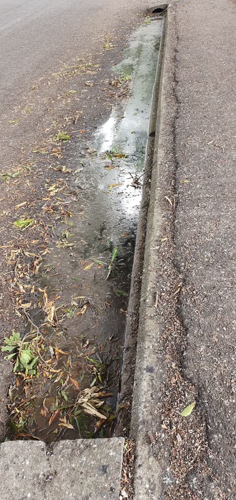
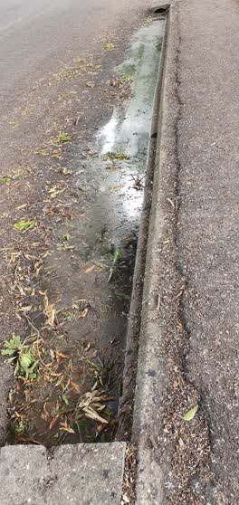 Wastewater/Stormwater —
 Leaves etc blocking gutters Northeastern part of Dudley St
Roading/Streets —
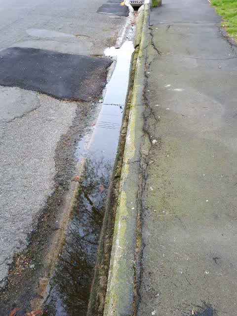
drainage is non functional, water does not drain.
Also reported on Slater Street
- 2 Slater Street — 13 reports
- 156 Slater Street — 10 reports
- 1 Slater Street — 9 reports
- 9 Slater Street — 8 reports
- 165 Slater Street — 8 reports
- 159 Slater Street — 6 reports
- 93 Slater Street — 4 reports
- 37 Slater Street — 4 reports
The street’s crash record
NZTA’s record names Slater Street in 5 crashes that hurt somebody since 2006 — 2 seriously hurt, nobody killed.
The green nearby
- Champion Reserve — 237 m to the edge
- Petrie Park — 295 m to the edge · 1 ha
Parks within half a kilometre, measured to the boundary — the council’s open data.
On the doorstep
- Aroma Delight Indian Takeaways — 111 m away · Restaurants
- Chinese, Fish and Chips, Takaways — 112 m away · Fast food
- Fish & Chips, Chinese Takeaways — 112 m away · Restaurants
- Miss Feaver Florist — 172 m away · Florists
Businesses within four hundred metres, measured at the pin — OpenStreetMap and the council directories.
The bus nearby
The closest Metro stops, within four hundred and fifty metres.
The tracks through here
- Walk and bike track through Richmond — 233 m to the line · walk · bike
- Walk and bike track through Richmond — 453 m to the line · walk · bike
Tracks whose line passes within half a kilometre, measured to the line itself — the council’s open data.
The named ground
Named water within 500 m of this address, measured to the line or the edge — the open map’s record.
Renting nearby
new bonds in Richmond ran about $499 a week — $51 below the city median of $550 — the suburb page keeps the rent record →.
The civic layer
This ground votes in Central ward — the Papanui-Innes-Central community board. Ward lines don’t always follow suburb lines; this one is measured at the pin, not the suburb’s centre.
What stood on this ground → · On the map → · From the air — the Crown’s aerials back to 1936; search the address on RetroLens →
Questions, answered briefly
12 council reports on record since October 2019 — most often road signage (2), pothole (2), overgrown vegetation (2).
Richmond, Christchurch — on Slater Street.
Nothing on the heritage register at this exact spot — the record around this ground →
Champion Reserve — 237 m to its edge.