1 Tavistock Place
4 council reports since May 2019, 4 carrying a photograph. The most-reported address on Tavistock Place.
From the air, then
Sourced from Canterbury Maps and partners. LINZ, CC BY 3.0 NZ. Each frame is cut from Environment Canterbury’s historic imagery MapServer for that decade, only where the Footprints layer names a CC BY survey (NZAM-covered spots stay out). RetroLens holds more Crown aerials →
The green nearby
- Crosbie Park, 11 m to the edge · Sports ground · 7 ha · playground, 76 pieces
- Karnak Reserve, 262 m to the edge
- Calbreath Reserve, 285 m to the edge · playground, 17 pieces
- Greystoke Reserve, 288 m to the edge
- Apsley Landscape Reserve, 302 m to the edge
Parks within half a kilometre, measured to the boundary, the council’s open data. The whole roll is at /parks.
On the doorstep
- Riccarton Leagues Club, 332 m away · Clubs
Businesses within four hundred metres, measured at the pin, OpenStreetMap and the council directories.
The bus nearby
- Apsley Drive, 31 m away · route 130
- Hyde Park, 114 m away · route 130
The closest Metro stops, within four hundred and fifty metres.
The named ground
Named water within 500 m of this address, measured to the line or the edge, the open map’s record.
What gets reported here
Photographed here 4 on record


What’s on record
 Water Leak, 13 Jul 2025
Something is slowly leaking under the grass near this water meter. It’s spilling onto the footpath and into the gutter. Has been like this f
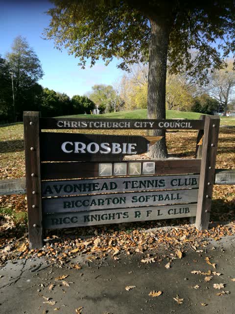
 Park - General Request, 12 Jun 2025
We'd like to request an addition to the signage at the entry to Crosbie Park alerting users that this is also home to Knights netball, rugby
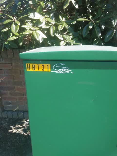
Graffiti - General, 17 Sept 2019
Parks, 24 May 2019
broken sign at Crosbie Park, Apsley Drive side
Elsewhere on Tavistock Place
- 7 Tavistock Place, 1 report
- 6 Tavistock Place, 1 report
- 10 Tavistock Place, 1 report
The civic layer
This ground votes in Waimairi ward, the Fendalton-Waimairi-Harewood community board is its local layer. Ward lines don’t always follow suburb lines; this one is measured at the pin, not the suburb’s centre. The whole roll is at /wards.
Tavistock Place, the whole record → · Everything about Russley → · What stood on this ground → · On the map → · From the air, RetroLens holds the Crown’s aerials back to 1936; search the address there →
Questions, answered briefly
4 council reports on record since May 2019, most often water leak (1), parks (1), park - general request (1).
Russley, Christchurch, on Tavistock Place.
Nothing on the heritage register at this exact spot, the record around this ground →
Crosbie Park, 11 m to its edge, 7 ha.