18 Pinehurst Crescent
10 council reports since September 2019, 8 carrying a photograph. The most-reported address on Pinehurst Crescent.
From the air, then
Sourced from Canterbury Maps and partners. LINZ, CC BY 3.0 NZ. Each frame is cut from Environment Canterbury’s historic imagery MapServer for that decade, only where the Footprints layer names a CC BY survey (NZAM-covered spots stay out). RetroLens holds more Crown aerials →
The green nearby
- Pinehurst Reserve, you are in it · playground, 5 pieces
- Calbreath Reserve, 337 m to the edge · playground, 17 pieces
- Stewarts Bush, 431 m to the edge · playground, 37 pieces
- Crosbie Park, 440 m to the edge · Sports ground · 7 ha · playground, 76 pieces
- Karnak Reserve, 458 m to the edge
Parks within half a kilometre, measured to the boundary, the council’s open data. The whole roll is at /parks.
On the doorstep
- Plunket, 30 m away · Centre
- Pioneers Cafe - Russley Road, 335 m away · Restaurants
- Passengers + Co, 338 m away · Cafés
- Ryman Healthcare Christchurch, 344 m away · Company
Businesses within four hundred metres, measured at the pin, OpenStreetMap and the council directories.
The bus nearby
- Bentley St near Pinehurst Cres, 187 m away · route 125, route 140
- Bentley St near Delaware Cres, 199 m away · route 125, route 140
The closest Metro stops, within four hundred and fifty metres.
The named ground
the council’s own structure register, bridges, boardwalks and steps standing nearby, the open map’s record.
What gets reported here
Photographed here 8 on record


What’s on record
 Playground Equipment, 15 May 2025
 Pinehurst Reserve Playground… the smaller blue slide nearest the Plunket Rooms needs attention as the plastic on the lower righthand area h
 Park - General Request, 1 May 2025
 Massive tree branch has come down in Pinehurst Reserve. Blocking the path access through the park
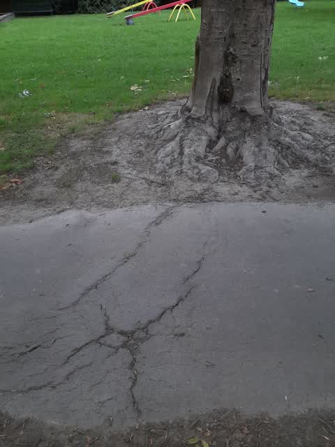
 Trees - General, 31 May 2024
 Just showing this tree as I don’t know if it is safe.
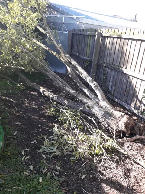
- Fallen Tree, 2 Nov 2023
- Trees - General, 12 Dec 2022
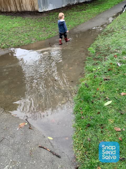
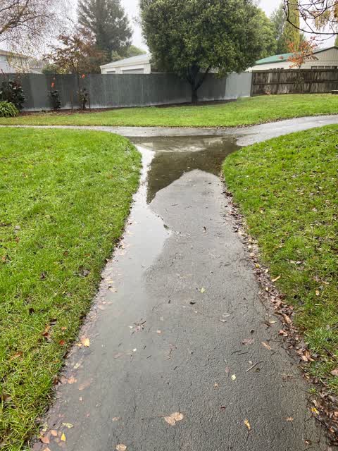
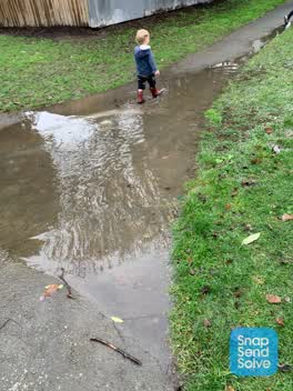 Roading/Streets, 8 Jul 2022
 This path needs repairing as it always gets a huge puddle.
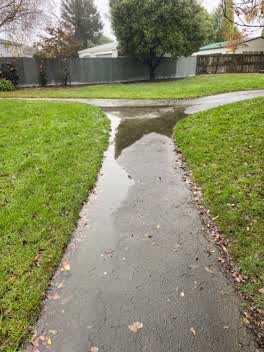 Parks, 16 May 2022
 Constantly floods and doesn’t drain in wet weather. Needs to be modified to stop the water pooling. There is a hole that has had gravel ad
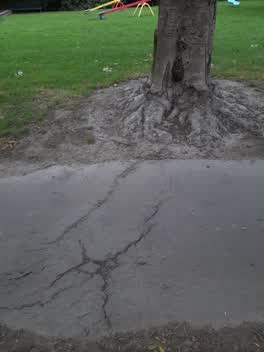 Roading/Streets, 29 Mar 2022
 I was on the way to my daughter's school and she and few others have come of there scooters etc and one little girl fall over caused by the
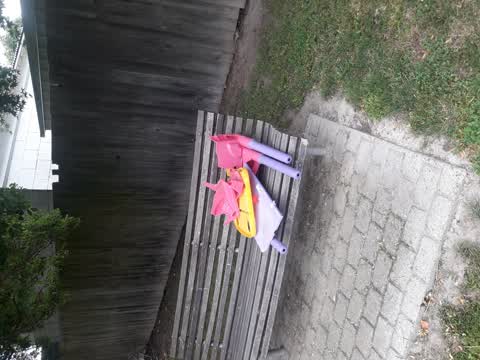
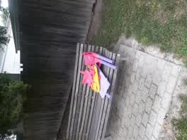 Parks, 14 Jan 2021
 illegal dumping
Parks, 10 Sept 2019
behind swings
Elsewhere on Pinehurst Crescent
- 30 Pinehurst Crescent, 4 reports
- 40 Pinehurst Crescent, 3 reports
- 9A Pinehurst Crescent, 2 reports
- 44 Pinehurst Crescent, 1 report
- 42 Pinehurst Crescent, 1 report
- 4 Pinehurst Crescent, 1 report
- 31A Pinehurst Crescent, 1 report
- 25A Pinehurst Crescent, 1 report
The street’s crash record
NZTA’s record names Pinehurst Crescent in 2 crashes that hurt somebody since 2006, 1 seriously hurt, nobody killed.
The civic layer
This ground votes in Waimairi ward, the Fendalton-Waimairi-Harewood community board is its local layer. Ward lines don’t always follow suburb lines; this one is measured at the pin, not the suburb’s centre. The whole roll is at /wards.
Pinehurst Crescent, the whole record → · Everything about Russley → · What stood on this ground → · On the map → · From the air, RetroLens holds the Crown’s aerials back to 1936; search the address there →
Questions, answered briefly
10 council reports on record since September 2019, most often parks (3), trees - general (2), roading/streets (2).
Russley, Christchurch, on Pinehurst Crescent.
Nothing on the heritage register at this exact spot, the record around this ground →
Pinehurst Reserve, the address is inside it.