36 Dinton Street, Russley
11 reports on record since November 2019 · 7 with photographs. The most-reported address on Dinton Street. Indicative rating valuation and school zones, hazards, bin day and what stood here before.
What gets reported here
Photographed here 7 on record


Reported here
 Street Gutters / Storm Water —
missing lid on drain on road
- Rubbish and Bins - General —
bin not emptied
 Rubbish and Bins - General —
Red bin lid broken during recent collection.
 Damaged Road —
Big sinkage at site of previous road works in middle of carridgeway on fovant and dinton street corner
 Pavement - General —
- Rubbish and Bins - General —
Missed green bin pickup
 Street Gutters / Storm Water —
The two drains on the corner of Dinton St and Fovant Street are not draining. Drains were upgraded about a year ago and seem to still overf
 Poles and Signage - General —
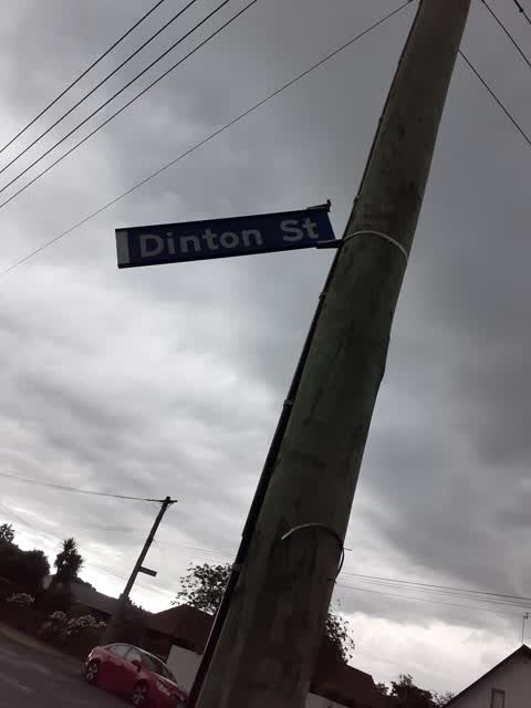
Road sign at corner of Fovant and Dinton Streets in Russley has been dislodged due to the heavy winds.
- Sewer - Leak / Blockage —
- Rubbish and Bins - General —
Roading/Streets —
dinton st sign falling down. Fovant St end
Also reported on Dinton Street
- 22 Dinton Street — 6 reports
- 14 Dinton Street — 6 reports
- 35 Dinton Street — 5 reports
- 23 Dinton Street — 3 reports
- 9 Dinton Street — 2 reports
- 20 Dinton Street — 2 reports
- 9A Dinton Street — 1 report
- 8 Dinton Street — 1 report
The street’s crash record
NZTA’s record names Dinton Street in 3 crashes that hurt somebody since 2006 — 0 seriously hurt, nobody killed.
The green nearby
- Rosella Reserve — 356 m to the edge · 1 ha
- Pinehurst Reserve — 400 m to the edge
- Neathwest Reserve — 432 m to the edge · 2 ha
Parks within half a kilometre, measured to the boundary — the council’s open data.
On the doorstep
- Airport Birches Motel — 77 m away · Motels
- Z — 274 m away · Petrol stations
- Airways Motel — 284 m away · Motels
- M&Y Airport Guest House — 308 m away · B&Bs
Businesses within four hundred metres, measured at the pin — OpenStreetMap and the council directories.
The bus nearby
- Bentley St near Pinehurst Cres — 254 m away · route 125, route 140
- Russley — 280 m away · route 125, route 140
The closest Metro stops, within four hundred and fifty metres.
The tracks through here
- Walk and bike track through Russley — 111 m to the line · walk · bike
- Walk and bike track through Russley — 271 m to the line · walk · bike
- Walk and bike track through Russley — 303 m to the line · walk · bike
Tracks whose line passes within half a kilometre, measured to the line itself — the council’s open data.
The named ground
the council’s own structure register — bridges, boardwalks and steps standing nearby — the open map’s record.
The civic layer
This ground votes in Waimairi ward — the Fendalton-Waimairi-Harewood community board. Ward lines don’t always follow suburb lines; this one is measured at the pin, not the suburb’s centre.
What stood on this ground → · On the map → · From the air — the Crown’s aerials back to 1936; search the address on RetroLens →
Questions, answered briefly
11 council reports on record since November 2019 — most often rubbish and bins - general (4), street gutters / storm water (2), sewer - leak / blockage (1).
Russley, Christchurch — on Dinton Street.
Nothing on the heritage register at this exact spot — the record around this ground →
Rosella Reserve — 356 m to its edge, 1 ha.