1055 Colombo Street, Saint Albans
12 reports on record since February 2020 · 11 with photographs. The street’s heaviest record is 932 Colombo Street — 30 reports on file. Indicative rating valuation and school zones, hazards, bin day and what stood here before.
What gets reported here
- Damaged Street Sign — 5
- Roading/Streets — 4
- Water Supply — 1
- Water Leak — 1
- Trees - General — 1
Photographed here 11 on record


Reported here
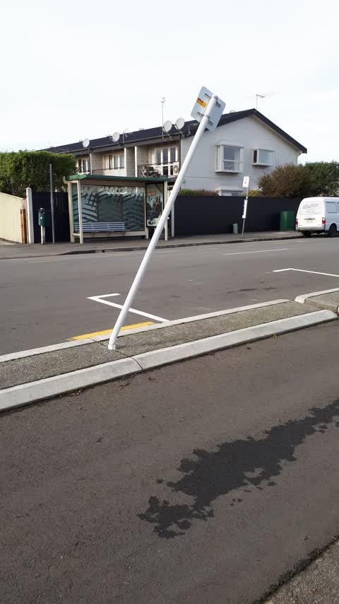
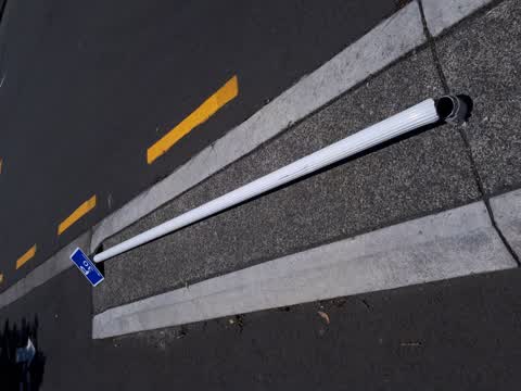
 Damaged Street Sign —
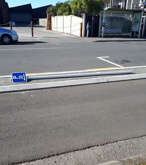
 Parking sign knocked over
 Damaged Street Sign —
 Parking sign
 Damaged Street Sign —
 Sign falling of post
 Trees - General —
 Branch snapped of tree in recent winds
 Damaged Street Sign —
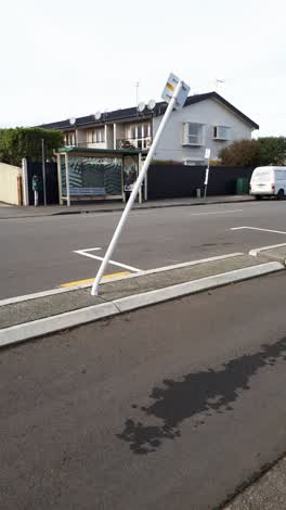
 Sign partially dislodged from pole (about to fall off(
- Damaged Street Sign —
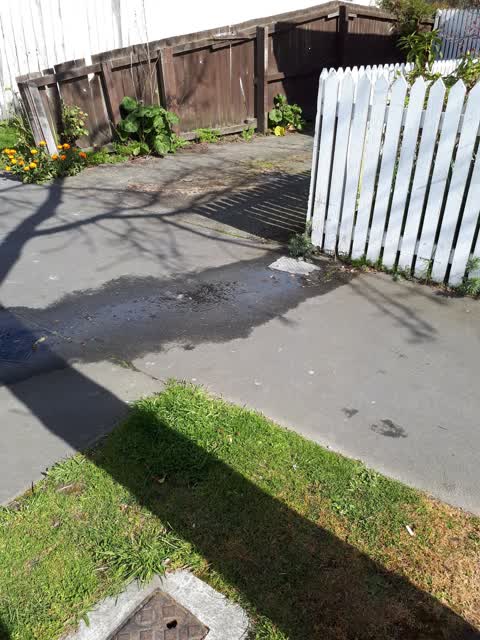
 Water Leak —
  Roading/Streets —
 parking sign backed into by a truck
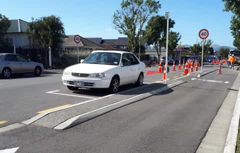
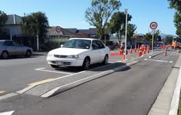 Roading/Streets —
 abandoned car been parked there over a month reg expired nearly a year ago
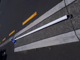 Roading/Streets —
 sign knocked over by a truck going into timber yard
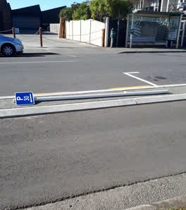 Roading/Streets —
 parking sign knocked down
Water Supply —
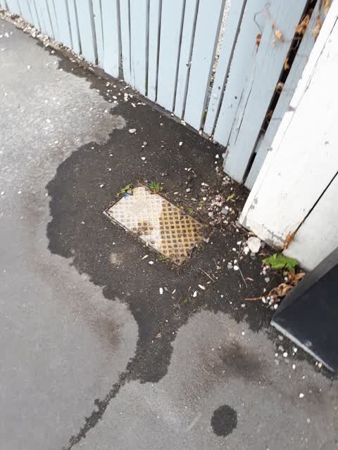
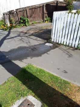
leaking toby outside 1051/53 Colombo St but been leaking a long time but not serious
Also reported on Colombo Street
- 932 Colombo Street — 30 reports
- 1054A Colombo Street — 23 reports
- 1040 Colombo Street — 22 reports
- 965 Colombo Street — 18 reports
- 1027 Colombo Street — 17 reports
- 1013 Colombo Street — 15 reports
- 1054 Colombo Street — 14 reports
- 1073 Colombo Street — 12 reports
The street’s crash record
NZTA’s record names Colombo Street in 20 crashes that hurt somebody since 2006 — 1 person killed, 5 seriously hurt.
The green nearby
- St Albans Tennis Club — 328 m to the edge · Sports ground
- Abberley Park — 399 m to the edge · Botanic · 2 ha
- Springfield Reserve — 409 m to the edge
- English Park — 478 m to the edge · Sports ground · 3 ha
Parks within half a kilometre, measured to the boundary — the council’s open data.
On the doorstep
- Kohinga St Albans Community Centre — 45 m away · Venues & events
- Super Liquor — 54 m away · Bottle stores
- Westpac — 54 m away · ATMs
- Bailies Bar & Restaurant — 59 m away · Bars & pubs
Businesses within four hundred metres, measured at the pin — OpenStreetMap and the council directories.
The bus nearby
The closest Metro stops, within four hundred and fifty metres.
The tracks through here
- Walk and bike track through Saint Albans — 61 m to the line · walk · bike
- Walk and bike track through Saint Albans — 149 m to the line · walk · bike
Tracks whose line passes within half a kilometre, measured to the line itself — the council’s open data.
The named ground
Named water within 500 m of this address, measured to the line or the edge; the council’s own structure register — bridges, boardwalks and steps standing nearby — the open map’s record.
Renting nearby
new bonds in Saint Albans ran about $514 a week — $36 below the city median of $550 — the suburb page keeps the rent record →.
What was here — Dwelling and Setting
194 m away · 153 Holly Road · located to ±8 m · the place’s own record →
On the register. Nothing researched here yet.
The civic layer
This ground votes in Innes ward — the Papanui-Innes-Central community board. Ward lines don’t always follow suburb lines; this one is measured at the pin, not the suburb’s centre.
What stood on this ground → · On the map → · From the air — the Crown’s aerials back to 1936; search the address on RetroLens →
Questions, answered briefly
12 council reports on record since February 2020 — most often damaged street sign (5), roading/streets (4), water supply (1).
Saint Albans, Christchurch — on Colombo Street.
The heritage register names a place at or beside it — Dwelling and Setting.
St Albans Tennis Club — 328 m to its edge.