113 Sherborne Street, Saint Albans
11 reports on record since September 2021 · 9 with photographs. The street’s heaviest record is 142 Sherborne Street — 17 reports on file. Indicative rating valuation and school zones, hazards, bin day and what stood here before.
What gets reported here
Photographed here 9 on record


Reported here
 Roads - General —
 A driver has hit and damaged to two pedestrian handrails for the crossing over Sherborne Street at the intersection with Canon Street. Can
 Road Signage —
 no left tun sign rotated to face the wrong way.
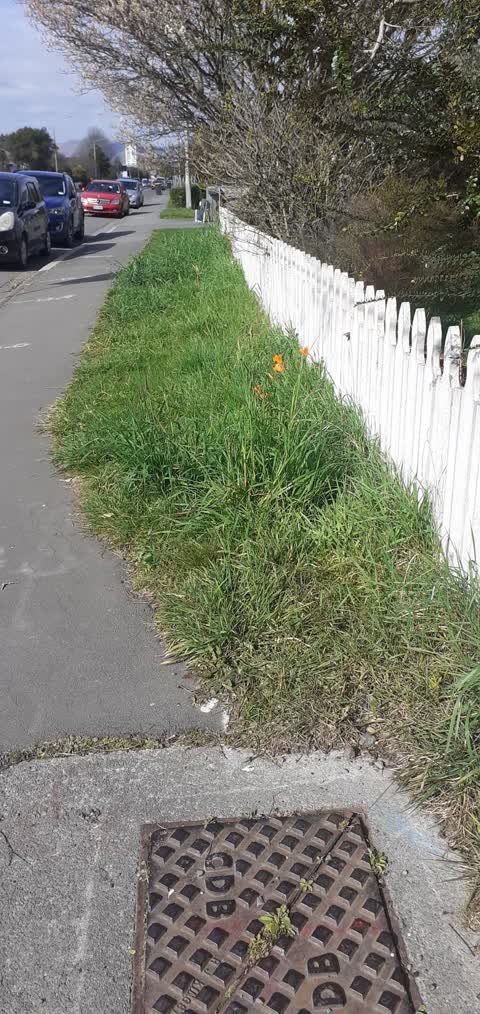
 Overgrown Vegetation —
 Grass needs to be cut
 Poles and Signage - General —
 The safety barrier/rails (?) on the pedestrian crossing median have been flattened, presumably by a car. One of them is now laying in the se
 Pavement - General —
 Broken Stop sign left on the footpath at 110 Sherborne Street corner of Canon Street needs removal ASAP. Stumbling hazard for pedestrians.
 Road Signage —
 https://nzta.govt.nz/assets/resources/rules/docs/land-transport-rule-setting-of-speed-limits-2024-as-at-15-january-2025.pdf LTSA Rule Sett
 Graffiti on a fence, building or structure —
 Fence blue tag
- Graffiti —
- Pit and Equipment - General —
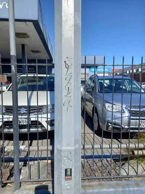
 Graffiti —
 113 Sherborne St - Graffiti on light standard outside Town & Country Motors
 Roading/Streets —
Also reported on Sherborne Street
- 142 Sherborne Street — 17 reports
- 53 Sherborne Street — 12 reports
- 20 Sherborne Street — 8 reports
- 110 Sherborne Street — 6 reports
- 10 Sherborne Street — 6 reports
- 65 Sherborne Street — 5 reports
- 51 Sherborne Street — 5 reports
- 16 Sherborne Street — 5 reports
The street’s crash record
NZTA’s record names Sherborne Street in 33 crashes that hurt somebody since 2006 — 7 seriously hurt, nobody killed.
The green nearby
- Springfield Reserve — 453 m to the edge
- Packe Reserve — 494 m to the edge
Parks within half a kilometre, measured to the boundary — the council’s open data.
On the doorstep
- Edgeware Automotive — 42 m away · Car repair
- Arthurs Court Motor Lodge — 47 m away · Motels
- Alcala Motor Lodge — 70 m away · Motels
- Edgeware Dairy — 104 m away · Dairies & convenience
Businesses within four hundred metres, measured at the pin — OpenStreetMap and the council directories.
The bus nearby
The closest Metro stops, within four hundred and fifty metres.
The tracks through here
- Walk and bike track through Saint Albans — 181 m to the line · walk · bike
- Walk and bike track through Saint Albans — 331 m to the line · walk · bike
Tracks whose line passes within half a kilometre, measured to the line itself — the council’s open data.
The named ground
Named water within 500 m of this address, measured to the line or the edge; the council’s own structure register — bridges, boardwalks and steps standing nearby — the open map’s record.
Renting nearby
new bonds in Saint Albans ran about $514 a week — $36 below the city median of $550 — the suburb page keeps the rent record →.
What was here — Dwelling and Setting
247 m away · 153 Holly Road · located to ±8 m · the place’s own record →
On the register. Nothing researched here yet.
The civic layer
This ground votes in Innes ward — the Papanui-Innes-Central community board. Ward lines don’t always follow suburb lines; this one is measured at the pin, not the suburb’s centre.
What stood on this ground → · On the map → · From the air — the Crown’s aerials back to 1936; search the address on RetroLens →
Questions, answered briefly
11 council reports on record since September 2021 — most often road signage (2), graffiti (2), roads - general (1).
Saint Albans, Christchurch — on Sherborne Street.
The heritage register names a place at or beside it — Dwelling and Setting.
Springfield Reserve — 453 m to its edge.