54 Saint Albans Street
7 council reports since January 2017, 6 carrying a photograph. The street’s heaviest record is 61 Saint Albans Street, 10 reports on file.
On the register here
- Former St Albans Automatic Telephone Exchange and Setting, 29 St Albans Street (134m)
- Dwelling and Setting, Amwell, 166 Papanui Road (222m)
From the air, then
Sourced from Canterbury Maps and partners. LINZ, CC BY 3.0 NZ. Each frame is cut from Environment Canterbury’s historic imagery MapServer for that decade, only where the Footprints layer names a CC BY survey (NZAM-covered spots stay out). RetroLens holds more Crown aerials →
The green nearby
- Merivale Village Green, 298 m to the edge
- Abberley Park, 312 m to the edge · Botanic · 2 ha · playground, 24 pieces
Parks within half a kilometre, measured to the boundary, the council’s open data. The whole roll is at /parks.
On the doorstep
- Haar Design, 221 m away · Hairdressers
- Sprig & Fern Tavern - Merivale, 237 m away · Restaurants
- The Little Taphouse, 245 m away · Restaurants
- The Espresso Room, 259 m away · Cafés
Businesses within four hundred metres, measured at the pin, OpenStreetMap and the council directories.
The bus nearby
- St Albans St near Donald Pl, 10 m away · route 100
- St Albans St near Devonport Ln, 139 m away · route 100
The closest Metro stops, within four hundred and fifty metres.
The named ground
Named water within 500 m of this address, measured to the line or the edge, the open map’s record.
Renting nearby
new bonds in Saint Albans ran about $514 a week, $36 below the city median of $550, the suburb page keeps the rent record →.
What gets reported here
- Roading/Streets, 2
- Overgrown Vegetation, 2
- Graffiti, 2
- General Request, 1
Photographed here 6 on record


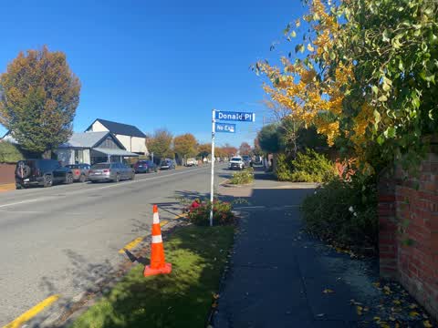
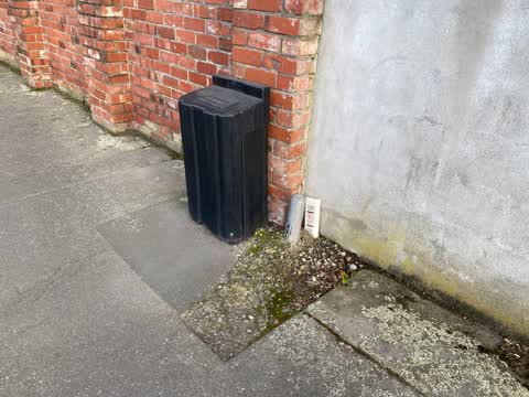

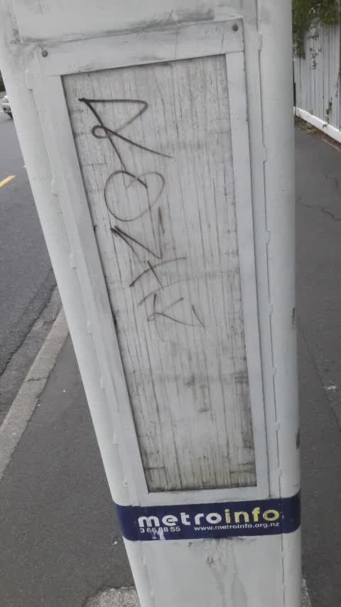
What’s on record
 Overgrown Vegetation, 5 May 2024
 Hello Council person I have reported this overgrown vegetation a number of times. Could this matter be looked into again, there are Low Vi
 General Request, 3 Apr 2024
 Hello Council Person. Extending my sincere gratitude to the staff on the team at Christchurch City Council who listened and have made incred
- Overgrown Vegetation, 27 May 2023
 Roading/Streets, 6 May 2022
 Hello Could this Downers cone please be collected ?
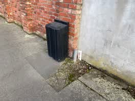 Roading/Streets, 27 Mar 2022
 Hello councilperson Could consideration be given to reinstating asphalt to this area of the footpath? I’m mindful there is a blind foundat
Graffiti, 3 Jan 2020
on bus sign outside #54 St Albans st
Graffiti, 27 Jan 2017
Elsewhere on Saint Albans Street
- 61 Saint Albans Street, 10 reports
- 57 Saint Albans Street, 10 reports
- 149 Saint Albans Street, 10 reports
- 177 Saint Albans Street, 9 reports
- 25 Saint Albans Street, 8 reports
- 70 Saint Albans Street, 7 reports
- 135 Saint Albans Street, 7 reports
- 95 Saint Albans Street, 6 reports
The civic layer
This ground votes in Fendalton ward, the Fendalton-Waimairi-Harewood community board is its local layer. Ward lines don’t always follow suburb lines; this one is measured at the pin, not the suburb’s centre. The whole roll is at /wards.
Saint Albans Street, the whole record → · Everything about Saint Albans → · What stood on this ground → · On the map → · From the air, RetroLens holds the Crown’s aerials back to 1936; search the address there →
Questions, answered briefly
7 council reports on record since January 2017, most often roading/streets (2), overgrown vegetation (2), graffiti (2).
Saint Albans, Christchurch, on Saint Albans Street.
The heritage register names 2 places at or beside it, Former St Albans Automatic Telephone Exchange and Setting, Dwelling and Setting, Amwell.
Merivale Village Green, 298 m to its edge.