5 Armstrong Avenue, Saint Martins
14 reports on record since May 2017 · 9 with photographs. The most-reported address on Armstrong Avenue. Indicative rating valuation and school zones, hazards, bin day and what stood here before.
What gets reported here
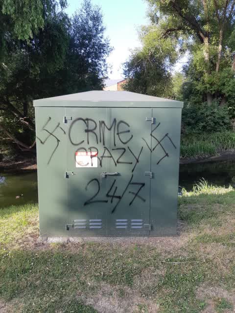
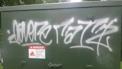
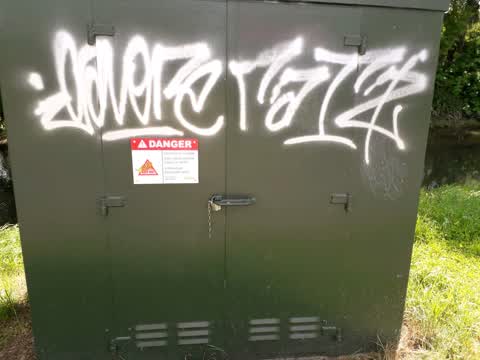
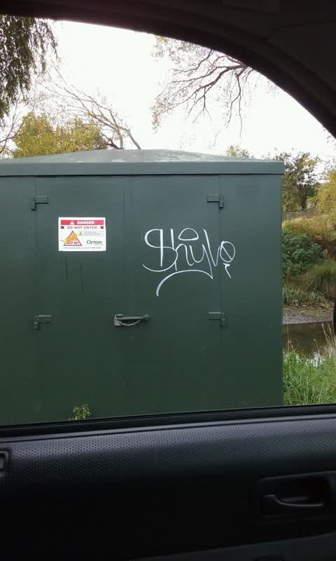
- Graffiti — 4
- Fallen Tree — 2
- Facility - General Request — 2
- Water Leak — 1
- Park - General Request — 1
- General Request — 1
Photographed here 9 on record


Reported here
 Abandoned Vehicle —
 burnt out van, some damage to pavement....
 Water Leak —
 Leak near hydrant
 Facility - General Request —
 Dumping in river
 Damaged Street Sign —
 Riverlaw tce sign is falling off
 General Request —
 No driveway
- Facility - General Request —
- Fallen Tree —
- Fallen Tree —
- Damaged Road —
- Park - General Request —
Graffiti —
racist graffiti, please remove asap, on Orion box, thank you.
Graffiti —
Riverlaw near bridge
Graffiti —
Graffiti —
On Orion facility
Also reported on Armstrong Avenue
- 1 Armstrong Avenue — 6 reports
- 6 Armstrong Avenue — 5 reports
- 2 Armstrong Avenue — 2 reports
- 4A Armstrong Avenue — 1 report
- 4 Armstrong Avenue — 1 report
The street’s crash record
NZTA’s record names Armstrong Avenue in 1 crash that hurt somebody since 2006 — 0 seriously hurt, nobody killed.
The green nearby
- Hansen Park — 33 m to the edge · Sports ground · 12 ha
- Centaurus Park — 171 m to the edge · 1 ha
- King George V Reserve — 190 m to the edge · 1 ha
Parks within half a kilometre, measured to the boundary — the council’s open data.
On the doorstep
- Mobil — 120 m away · Petrol stations
- Cheeky Browns Hairdressing — 128 m away · Hairdressers
- Mobil Mart — 129 m away · Dairies & convenience
- Cocoa Black — 138 m away · Cafés
Businesses within four hundred metres, measured at the pin — OpenStreetMap and the council directories.
The bus nearby
The closest Metro stops, within four hundred and fifty metres.
The tracks through here
- Walk and bike track through Saint Martins — 2 m to the line · walk · bike
- Walk and bike track through Saint Martins — 54 m to the line · walk · bike
- Walk and bike track through Saint Martins — 75 m to the line · walk · bike
- Walk and bike track through Saint Martins — 90 m to the line · walk · bike
- Walk and bike track through Saint Martins — 99 m to the line · walk · bike
Tracks whose line passes within half a kilometre, measured to the line itself — the council’s open data.
The named ground
Named water within 500 m of this address, measured to the line or the edge; Named places within 1.5 km of this address; the council’s own structure register — bridges, boardwalks and steps standing nearby — the open map’s record.
The remembered names nearby
- In Memory of / Desmond Timbrell / 1921 – 2007 / in Memory — 135 m away ·
IN MEMORY OF / DESMOND TIMBRELL / 1921 – 2007 / IN MEMORY OF / BERESFORD TIMBRELL / 1926 –
- In Memory of / Desmond Timbrell / 1921 – 2007 / in Memory — 135 m away ·
IN MEMORY OF / DESMOND TIMBRELL / 1921 – 2007 / IN MEMORY OF / BERESFORD TIMBRELL / 1926 –
- Donated by the Family of Hugh and June Smith for All — 156 m away ·
DONATED BY THE FAMILY OF HUGH AND JUNE SMITH FOR ALL TO ENJOY
· 2008
Inscribed plaques within two hundred and fifty metres — the register’s pins, not surveyed spots. The whole roll is at /plaques.
Renting nearby
new bonds in Saint Martins ran about $640 a week — $90 above the city median of $550 — the suburb page keeps the rent record →.
What was here — Dwelling and Setting, Springbank
182 m away · 290 Riverlaw Terrace · located to ±13 m · the place’s own record →
On the register. Nothing researched here yet.
The civic layer
This ground votes in Cashmere ward — the Spreydon-Cashmere-Heathcote community board. Ward lines don’t always follow suburb lines; this one is measured at the pin, not the suburb’s centre.
What stood on this ground → · On the map → · From the air — the Crown’s aerials back to 1936; search the address on RetroLens →
Questions, answered briefly
14 council reports on record since May 2017 — most often graffiti (4), fallen tree (2), facility - general request (2).
Saint Martins, Christchurch — on Armstrong Avenue.
The heritage register names a place at or beside it — Dwelling and Setting, Springbank.
Hansen Park — 33 m to its edge, 12 ha.