St Andrew's College (Christchurch)
Composite · Private : Fully Registered · Bryndwr, Christchurch
1,650 students on the roll in Bryndwr · privately run — the Ministry does not rate it.
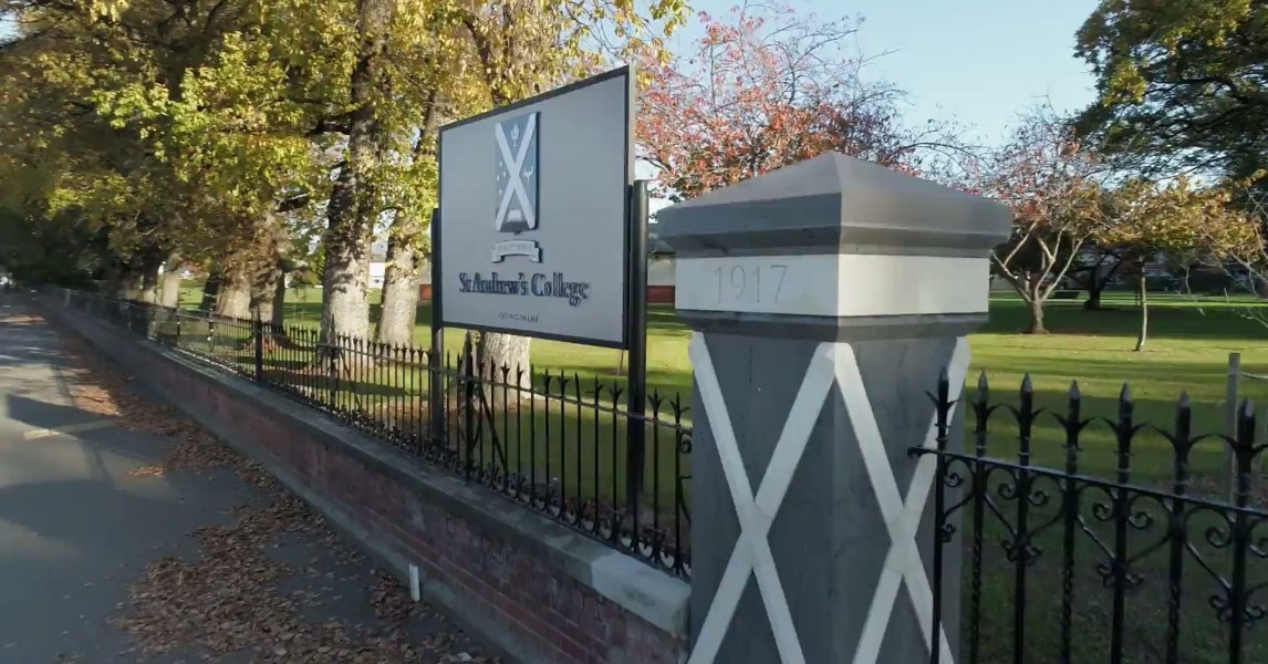
St Andrew's College is one of New Zealand’s leading co-educational day and boarding school, from Pre-school to Year 13. — stac.school.nz
Its rating
Private — the Ministry does not rate private schools. Decile and EQI describe the community a school draws its students from — they say nothing about how well it teaches.
The record
- 347 Papanui Road, Bryndwr, Christchurch, 8052 — the street’s record
- Its suburb: Bryndwr — the suburb’s own record
- Roll: 1,650 (September 2026)
- Co-Educational
- Not applicable
- Opened 1917
- Boarding: Yes
- Phone: 03-9402000
- Email: reception@stac.school.nz
- Contact: Mark Wilson
- Website: stac.school.nz
Who the roll is
Students may identify with more than one group — the counts are the Ministry’s own and need not sum to the roll.
Other schools near here
 He Tīwai Mātauranga Heaton Normal Intermediate — decile 9 · EQI 407 · 451 m
 Paparoa Street School — decile 10 · EQI 398 · 804 m
- Elmwood Normal School — decile 10 · EQI 376 · 833 m
 Waimairi School — decile 9 · EQI 418 · 887 m
Christchurch Adventist School — decile 5 · EQI 435 · 892 m
 St Albans Catholic School (Christchurch) — decile 9 · EQI 394 · 1.1 km
 St Patrick's School (Bryndwr) — decile 10 · EQI 376 · 1.1 km
 Selwyn House School — private — not rated · 1.3 km
The bus stop
The nearest stop the Metro map carries — measured to the school’s pin, not its gate.
- Papanui Rd near Normans Rd — 47 m · routes 1, 95
The register nearby
Heritage-register places within 300 m of the school’s point — what stood on the ground around it, or still does.
- Former Dwelling and Setting, Strowan — 347S Papanui Road
- Dwelling and Setting, Damsels — 283 Papanui Road
Under the ground
The plans and surveys the site keeps, asked once of the school’s ground — footprints and plan maps, not engineering findings.
- The February 2011 survey drew liquefaction over this point — mapped ground failure — a footprint, not a finding
- On the plan’s flood map — Dudley Creek — the managed reach
- The liquefaction model grades it “High Liquefaction Vulnerability” — the 2019 screening study
Ministry of Education school directory via data.govt.nz · zones via the Ministry’s enrolment-zone map · refreshed 3 October 2026.
What stood on this ground before → · On the map →
Questions, answered briefly
Composite · Private : Fully Registered · Co-Educational — in Bryndwr.
1,650 on the roll at September 2026 — the Ministry of Education’s count.
No — the Ministry does not rate private schools.
347 Papanui Road — Bryndwr, Christchurch. The school’s page here links its street, its suburb and the Ministry’s own entry.