From the air
Old Godley head lighthouse structure?
A named ruin in the open map’s record, lying in Sumner.
Where it lies
The site’s extent as OpenStreetMap outlines it, a mapper’s draw, not a surveyed boundary. The strong outline is the suburb.
The ground under it
The plans and surveys kept here, asked once of the pin. The whole stack answers live: what stood on this ground →
Around it
The reports nearby
5 council reports pinned within 250 m of the point, most often Animals & pests and Trees & parks, 2 with a photograph. A pin is where a reporter stood, not a claim about the place itself.
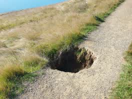
 Graffiti on a fence, building or structure
 Parks
ParksQuestions, answered briefly
A named ruin in the open map’s record of Christchurch, lying in Sumner.
The map’s own tags are all this page claims, a named place where something stood or lies buried. The heritage register nearby (linked where the record keeps one) and the library’s photograph collections carry the fuller story.
The map doesn’t say, an archaeological site may be private land, delicate ground or both. Treat the pin as where the record puts it, not an invitation.
The record behind this
The position and the tags are OpenStreetMap’s, a named node or way tagged historic=ruins or historic=archaeological_site inside the city boundary (ODbL). A name is the mapper’s, a lead, not a register listing. An old site may be private land or delicate ground; the pin is not an invitation.
This page as markdown: /site/old-godley-head-lighthouse-structure.md · the sites as data: /peaks.geojson · on the big map: /map?layer=peaks · the register proper: /history · the high places: /summit · every roll, counted: /geography.