14 Darley Street, Somerfield
12 reports on record since April 2017 · 8 with photographs. The most-reported address on Darley Street. Indicative rating valuation and school zones, hazards, bin day and what stood here before.
What gets reported here
Photographed here 8 on record


Reported here
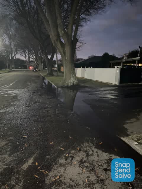
 Water Leak —
 Water mains overflowing
 Damaged Road —
 Hi. This section is getting rapidly worse every time is rains. Requires a repair before winter is possible. Many thanks :)
 Animal - Domestic —
 The dog has been barking in the morning, waking the fam and now seems to go on through the day. Probably been left unattended. I’m disabled
 Rubbish and Bins - General —
 Bin didn’t empty 10a Darley st
- Hazard — vehicle —
- Hazard — vehicle —
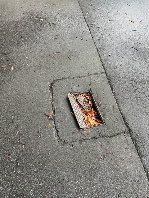
- Street Gutters / Storm Water —
- Flooding —
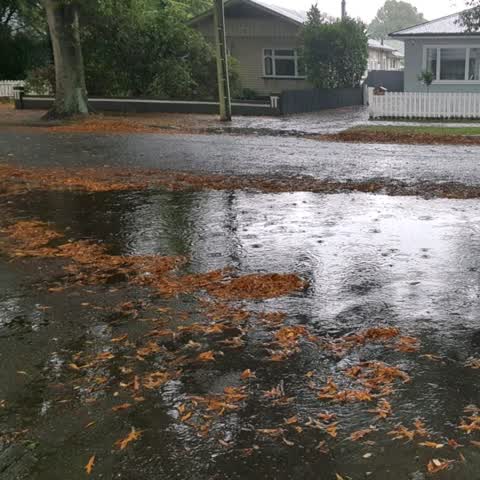
 Damaged Road —
 Water not draining from road surface, drainage not working, had been like this since 2011 following the earthquake. The road surface has als
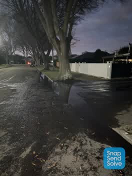 Roading/Streets —
 Constant flooding and no drainage
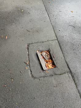 Roading/Streets —
 Wastewater/Stormwater —
We seem to have a constant puddle in our street even when there's been no rain. It's very smelly & a health hazard being stagnant for so lon
Also reported on Darley Street
- 10 Darley Street — 10 reports
- 8 Darley Street — 3 reports
- 7 Darley Street — 3 reports
- 5 Darley Street — 3 reports
- 19 Darley Street — 3 reports
- 18 Darley Street — 3 reports
- 9 Darley Street — 2 reports
- 6 Darley Street — 2 reports
The green nearby
- Ernle Clark Reserve — 191 m to the edge · Botanic · 2 ha
- Cashmere Riverbank Reserve — 234 m to the edge · 1 ha
- Thorrington Reserve — 290 m to the edge
- Purau Reserve — 343 m to the edge
- Cashmere Valley Reserve — 447 m to the edge · 2 ha
Parks within half a kilometre, measured to the boundary — the council’s open data.
On the doorstep
- Cashmere Medical Practice — 184 m away · Doctors & clinics
- I Spy Food and Coffee — 303 m away · Cafés
- Piccolo Ristorante Italiano — 304 m away · Restaurants
- Pierces' Bakery — 304 m away · Bakeries
Businesses within four hundred metres, measured at the pin — OpenStreetMap and the council directories.
The bus nearby
- Cashmere Rd — 214 m away · route 1, the Orbiter (anticlockwise)
- Cashmere Rd — 224 m away · route 1, the Orbiter (clockwise)
The closest Metro stops, within four hundred and fifty metres.
The tracks through here
- Walk and bike track through Somerfield — 97 m to the line · walk · bike
- Walk and bike track through Somerfield — 168 m to the line · walk · bike
- Walk and bike track through Somerfield — 199 m to the line · walk · bike
- Walk and bike track through Somerfield — 213 m to the line · walk · bike
- Walk and bike track through Somerfield — 238 m to the line · walk · bike
Tracks whose line passes within half a kilometre, measured to the line itself — the council’s open data.
The named ground
Named water within 500 m of this address, measured to the line or the edge; the council’s own structure register — bridges, boardwalks and steps standing nearby — the open map’s record.
Renting nearby
new bonds in Somerfield ran about $567 a week — $17 above the city median of $550 — the suburb page keeps the rent record →.
The civic layer
This ground votes in Cashmere ward — the Spreydon-Cashmere-Heathcote community board. Ward lines don’t always follow suburb lines; this one is measured at the pin, not the suburb’s centre.
What stood on this ground → · On the map → · From the air — the Crown’s aerials back to 1936; search the address on RetroLens →
Questions, answered briefly
12 council reports on record since April 2017 — most often roading/streets (2), hazard — vehicle (2), damaged road (2).
Somerfield, Christchurch — on Darley Street.
Nothing on the heritage register at this exact spot — the record around this ground →
Ernle Clark Reserve — 191 m to its edge, 2 ha.