17 Woodbank Street
9 council reports since July 2016, 7 carrying a photograph. The most-reported address on Woodbank Street.
From the air, then
Sourced from Canterbury Maps and partners. RNZAF, CC BY 3.0 NZ. Each frame is cut from Environment Canterbury’s historic imagery MapServer for that decade, only where the Footprints layer names a CC BY survey (NZAM-covered spots stay out). RetroLens holds more Crown aerials →
The green nearby
- Centennial Park, 119 m to the edge · Sports ground · 10 ha · playground, 37 pieces
- Ashgrove Reserve, 281 m to the edge
- Cashmere View Playground, 341 m to the edge · playground, 15 pieces
- Hoon Hay Scouts Reserve, 477 m to the edge
Parks within half a kilometre, measured to the boundary, the council’s open data. The whole roll is at /parks.
The civic shelf nearby
- Pioneer, 404 m away · Recreation centre
Libraries, halls and the rest within half a kilometre, the council’s open data.
On the doorstep
- Hoon Hay Automotive, 336 m away · Car repair
Businesses within four hundred metres, measured at the pin, OpenStreetMap and the council directories.
The bus nearby
- Lyttelton St near Rose St, 141 m away · the Orbiter (anticlockwise)
- Lyttelton St near Rose St, 163 m away · the Orbiter (clockwise)
The closest Metro stops, within four hundred and fifty metres.
The tracks through here
- Walk and bike track through Somerfield, 115 m to the line · walk · bike
- Walk and bike track through Somerfield, 244 m to the line · walk · bike
- Walk and bike track through Somerfield, 271 m to the line · walk · bike
- Walk and bike track through Somerfield, 294 m to the line · walk · bike
Tracks whose line passes within half a kilometre, the council’s open data.
The named ground
Named water within 500 m of this address, measured to the line or the edge, the open map’s record.
Renting nearby
new bonds in Somerfield ran about $567 a week, $17 above the city median of $550, the suburb page keeps the rent record →.
What gets reported here
- Roading/Streets, 6
- Water Leak, 2
- Parks, 1
Photographed here 7 on record
What’s on record
- Water Leak, 22 Aug 2023
- Water Leak, 28 Jul 2023
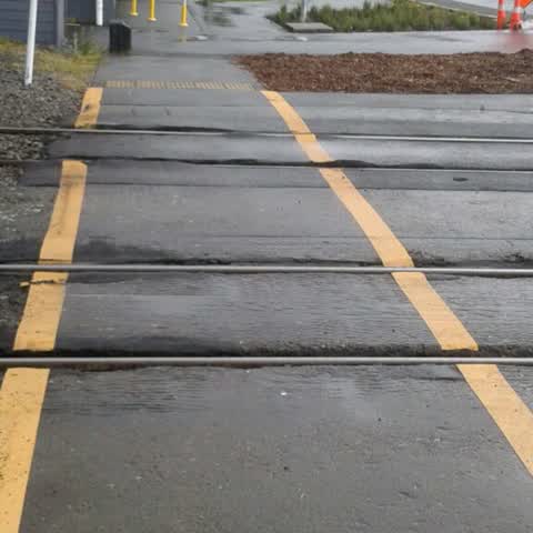
Roading/Streets, 7 Apr 2018
Very rough railway crossing on cycle way on Grove Road. Previously reported October 2017
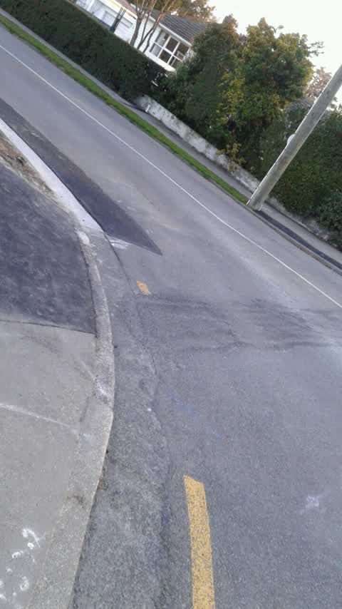
Roading/Streets, 5 Aug 2017
Need to repaint yellow lines corner rose st and palmside streets.
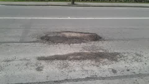
Roading/Streets, 15 Jul 2017
Pothole outside Better Life dairy on Hoon Hay road near rose st corner
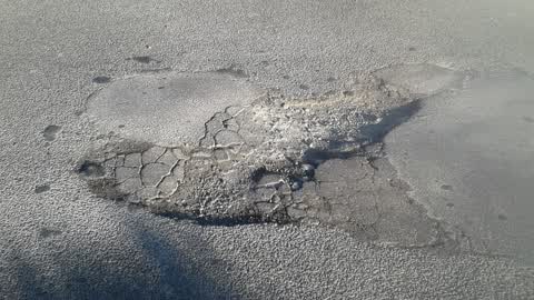
Roading/Streets, 25 Jun 2017
Recurring pothole outside 33 Palmside Street
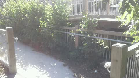
Parks, 30 Jan 2017
Overgrown vegetation under footbridge over Opawa river adjacent hackthorne - cashmere intersection.
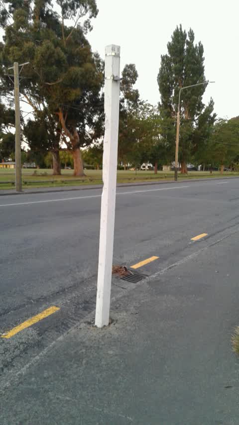
Roading/Streets, 14 Dec 2016
Missing Street sign corner rose st and palmside streets
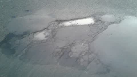
Roading/Streets, 21 Jul 2016
Location is 34 Palmside Street. Pothole reappears after rain. Permanent repair is required.
Elsewhere on Woodbank Street
- 15 Woodbank Street, 2 reports
- 8E Woodbank Street, 1 report
- 8A Woodbank Street, 1 report
- 8 Woodbank Street, 1 report
- 6 Woodbank Street, 1 report
- 5 Woodbank Street, 1 report
- 3–5 Woodbank Street, 1 report
The civic layer
This ground votes in Cashmere ward, the Spreydon-Cashmere-Heathcote community board is its local layer. Ward lines don’t always follow suburb lines; this one is measured at the pin, not the suburb’s centre. The whole roll is at /wards.
Woodbank Street, the whole record → · Everything about Somerfield → · What stood on this ground → · On the map → · From the air, RetroLens holds the Crown’s aerials back to 1936; search the address there →
Questions, answered briefly
9 council reports on record since July 2016, most often roading/streets (6), water leak (2), parks (1).
Somerfield, Christchurch, on Woodbank Street.
Nothing on the heritage register at this exact spot, the record around this ground →
Centennial Park, 119 m to its edge, 10 ha.