225 Hoon Hay Road, Somerfield
14 reports on record since May 2017 · 6 with photographs. The street’s heaviest record is 243A Hoon Hay Road — 17 reports on file. Indicative rating valuation and school zones, hazards, bin day and what stood here before.
What gets reported here
- Graffiti — 5
- Parks — 3
- Overgrown Vegetation — 3
- Roading/Streets — 2
- Animal - Deceased — 1
Photographed here 6 on record

Reported here
 Overgrown Vegetation —
 - Overgrown Vegetation —
- Overgrown Vegetation —
- Animal - Deceased —
- Graffiti —
- Graffiti —
- Graffiti —
- Graffiti —
- Graffiti —
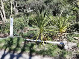 Roading/Streets —
 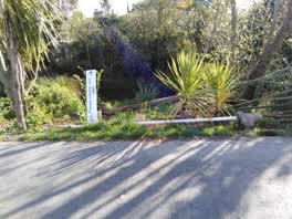 Roading/Streets —
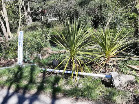
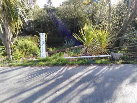
 Idiot cycleway sign vandalism
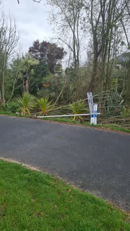 Parks —
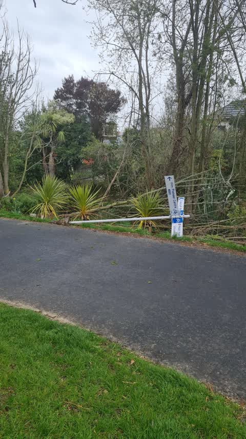
 Sign blown over
Parks —
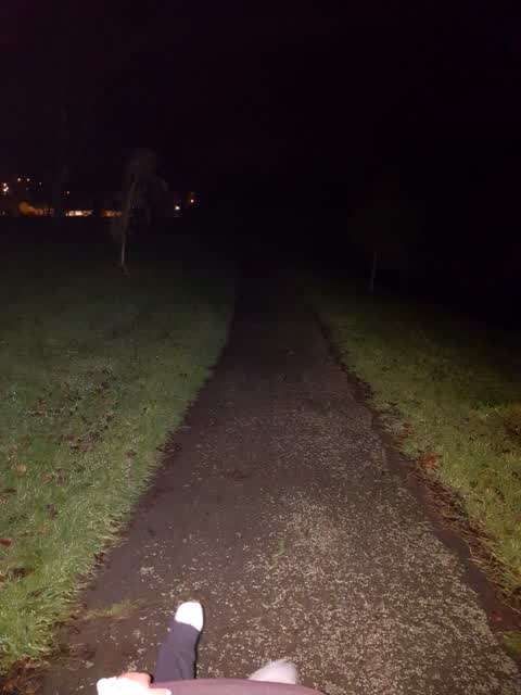
No lighting at all through centennial park be good to have some put in for safety
Parks —
Grass/lawn area overgrown
Also reported on Hoon Hay Road
- 243A Hoon Hay Road — 17 reports
- 217C Hoon Hay Road — 15 reports
- 207B Hoon Hay Road — 7 reports
- 257 Hoon Hay Road — 6 reports
- 207A Hoon Hay Road — 4 reports
- 223A Hoon Hay Road — 2 reports
- 219C Hoon Hay Road — 2 reports
- 237 Hoon Hay Road — 1 report
The green nearby
- Centennial Park — you are in it · Sports ground · 10 ha
- Hoon Hay Scouts Reserve — 83 m to the edge
- Rydal Reserve — 263 m to the edge
Parks within half a kilometre, measured to the boundary — the council’s open data.
The civic shelf nearby
- Pioneer — 200 m away · Recreation centre · 61 Lyttelton Street
Libraries, halls and the rest within half a kilometre — the council’s open data.
On the doorstep
- Pioneer Recreation and Sport Centre — 159 m away · Sports centres
- Plunge Cafe — 171 m away · Cafés
- Royal Indian — 307 m away · Fast food
- Better Life Dairy — 312 m away · Dairies & convenience
Businesses within four hundred metres, measured at the pin — OpenStreetMap and the council directories.
The bus nearby
- Lyttelton St near Conway St — 230 m away · the Orbiter (clockwise)
- Rose St near Hoon Hay Rd — 245 m away · route 44, the Orbiter (clockwise)
The closest Metro stops, within four hundred and fifty metres.
The tracks through here
- Walk and bike track through Somerfield — 21 m to the line · walk · bike
- Walk and bike track through Somerfield — 256 m to the line · walk · bike
- Walk and bike track through Somerfield — 465 m to the line · walk · bike
Tracks whose line passes within half a kilometre, measured to the line itself — the council’s open data.
The named ground
Named water within 500 m of this address, measured to the line or the edge — the open map’s record.
The remembered names nearby
- In Loving Memory of / Ian Whitehead — 167 m away ·
In Loving Memory of / Ian Whitehead / Ian was the source of ideas, / an inspirational lead
Inscribed plaques within two hundred and fifty metres — the register’s pins, not surveyed spots. The whole roll is at /plaques.
Renting nearby
new bonds in Somerfield ran about $567 a week — $17 above the city median of $550 — the suburb page keeps the rent record →.
The civic layer
This ground votes in Cashmere ward — the Spreydon-Cashmere-Heathcote community board. Ward lines don’t always follow suburb lines; this one is measured at the pin, not the suburb’s centre.
What stood on this ground → · On the map → · From the air — the Crown’s aerials back to 1936; search the address on RetroLens →
Questions, answered briefly
14 council reports on record since May 2017 — most often graffiti (5), parks (3), overgrown vegetation (3).
Somerfield, Christchurch — on Hoon Hay Road.
Nothing on the heritage register at this exact spot — the record around this ground →
Centennial Park — the address is inside it, 10 ha.