36 Roker Street, Somerfield
21 reports on record since July 2018 · 14 with photographs. The most-reported address on Roker Street. Indicative rating valuation and school zones, hazards, bin day and what stood here before.
What gets reported here
- Graffiti — 3
- Dumped Rubbish — 3
- Wastewater/Stormwater — 2
- Road Signage — 2
- Hazard — vehicle — 2
- Damaged Street Sign — 2
Photographed here 14 on record


Reported here
 Road Signage —
 Too many times I have witnessed cars going dangerously fast in this area within the cemetery, where there are often kids on bikes, mums with
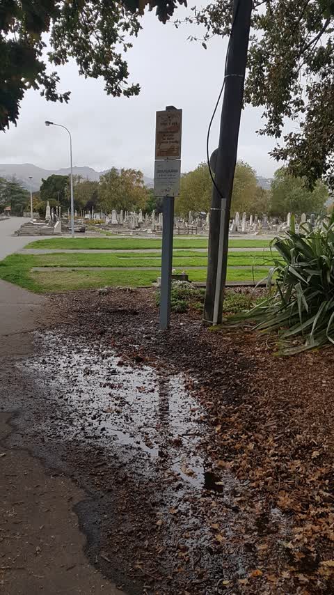
 Water Leak —
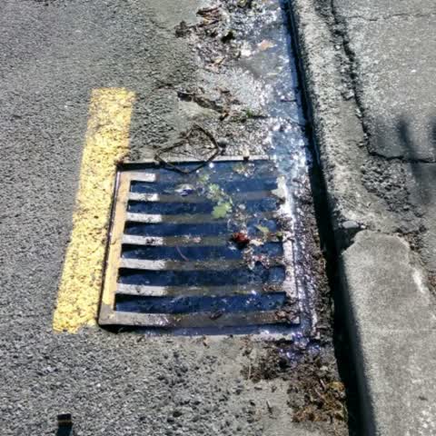
 water coming up from drain, seems like a pipe is broken rather than just overflow from the drain
- Litter —
There are major road works along Milton St. The road workers are parked on Simeon where I have pinned on the map. Have noticed a lot of food
 Accessibility —
 A developer and builder has ruined the berm caused the rate payer to pay for water repairs by city care and is forcing people with disabilit
 Hazard — vehicle —
 Car parked on Sydenham Cemetery front lawn
 Hazard — vehicle —
 Illegal parking on grass berms
 Graffiti on a sign, mural or public art —
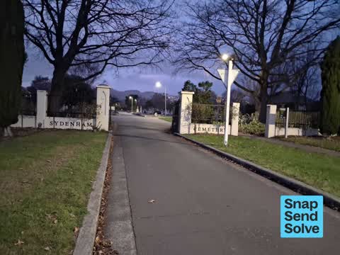
 Sign at front entrance of Sydenham Cemetery
 Dumped Rubbish —
 Entrance to Sydenham cemetery
 Dumped Rubbish —
 Someone has dumped a smashed up TV in the cemetery. Just on your right as you come in through the gates.
 Dumped Rubbish —
 Tv
- Graffiti —
- Street Gutters / Storm Water —
- Overgrown Vegetation —
- Damaged Street Sign —
- Damaged Street Sign —
- Road Signage —
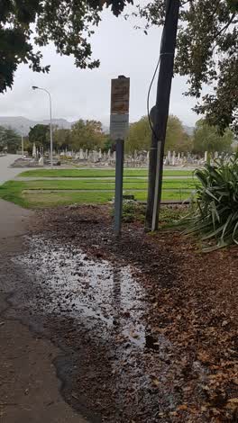 Wastewater/Stormwater —
 Wastewater/Stormwater —
Blocked drain
Rubbish/Recycling —
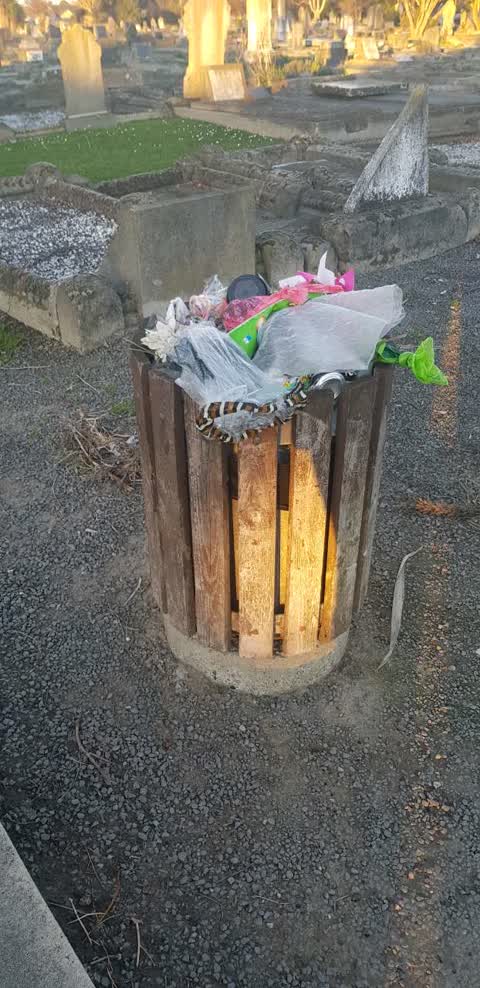
All the bins at Sydenham Cemetery are overflowing
Graffiti —
green utility box rc659 corner of Roker and cemetery
Graffiti —
At main entrance gates to Sydenham Cemetery
Also reported on Roker Street
- 2B Roker Street — 8 reports
- 95 Roker Street — 7 reports
- 34 Roker Street — 7 reports
- 87 Roker Street — 6 reports
- 46 Roker Street — 6 reports
- 97 Roker Street — 5 reports
- 94 Roker Street — 5 reports
- 82 Roker Street — 5 reports
The street’s crash record
NZTA’s record names Roker Street in 3 crashes that hurt somebody since 2006 — 1 seriously hurt, nobody killed.
The green nearby
- Somerfield Park — 180 m to the edge · Sports ground · 3 ha
- Cheviot Reserve — 341 m to the edge
- Barrington Park — 411 m to the edge · Sports ground · 6 ha
Parks within half a kilometre, measured to the boundary — the council’s open data.
The civic shelf nearby
- Sydenham Cemetery — you are in it · Cemetery
Libraries, halls and the rest within half a kilometre — the council’s open data.
On the doorstep
- Highland Fern — 128 m away · Bottle stores
- Barrington Health Physiotherapy — 282 m away · Physio
- The Laundry Basket — 285 m away · Laundromats
- Seasalt Cornwall — 288 m away · Clothing
Businesses within four hundred metres, measured at the pin — OpenStreetMap and the council directories.
The bus nearby
- Milton St near Simeon St — 150 m away · route 44, route 60
- Simeon St near Milton St — 179 m away · route 44, route 60
The closest Metro stops, within four hundred and fifty metres.
The tracks through here
- Walk and bike track through Somerfield — 11 m to the line · walk · bike
- Walk and bike track through Somerfield — 22 m to the line · walk · bike
- Walk and bike track through Somerfield — 133 m to the line · walk · bike
- Walk and bike track through Somerfield — 244 m to the line · walk · bike
- Walk and bike track through Somerfield — 350 m to the line · walk · bike
Tracks whose line passes within half a kilometre, measured to the line itself — the council’s open data.
The named ground
the council’s own structure register — bridges, boardwalks and steps standing nearby — the open map’s record.
Renting nearby
new bonds in Somerfield ran about $567 a week — $17 above the city median of $550 — the suburb page keeps the rent record →.
What was here — Sydenham Cemetery
on this spot · located to ±250 m · the place’s own record →
On the register. Nothing researched here yet.
The civic layer
This ground votes in Cashmere ward — the Spreydon-Cashmere-Heathcote community board. Ward lines don’t always follow suburb lines; this one is measured at the pin, not the suburb’s centre.
What stood on this ground → · On the map → · From the air — the Crown’s aerials back to 1936; search the address on RetroLens →
Questions, answered briefly
21 council reports on record since July 2018 — most often graffiti (3), dumped rubbish (3), wastewater/stormwater (2).
Somerfield, Christchurch — on Roker Street.
The heritage register names a place at or beside it — Sydenham Cemetery.
Somerfield Park — 180 m to its edge, 3 ha.