5 Bard Street
10 council reports since February 2022, 5 carrying a photograph. The most-reported address on Bard Street.
On the register here
- Somerfield Hall, 47 Studholme Street (142m)
- MED Substation, 2E Woodard Terrace (203m)
From the air, then
Sourced from Canterbury Maps and partners. LINZ, CC BY 3.0 NZ. Each frame is cut from Environment Canterbury’s historic imagery MapServer for that decade, only where the Footprints layer names a CC BY survey (NZAM-covered spots stay out). RetroLens holds more Crown aerials →
The green nearby
- Somerfield Park, you are in it · Sports ground · 3 ha · playground, 64 pieces
Parks within half a kilometre, measured to the boundary, the council’s open data. The whole roll is at /parks.
The civic shelf nearby
- Sydenham Cemetery, 189 m away · Cemetery
Libraries, halls and the rest within half a kilometre, the council’s open data.
On the doorstep
- The Groom Room, 387 m away · Hairdressers
Businesses within four hundred metres, measured at the pin, OpenStreetMap and the council directories.
The tracks through here
- Walk and bike track through Somerfield, 68 m to the line · walk · bike
- Walk and bike track through Somerfield, 68 m to the line · walk · bike
- Walk and bike track through Somerfield, 240 m to the line · walk · bike
- Walk and bike track through Somerfield, 405 m to the line · walk · bike
- Walk and bike track through Somerfield, 459 m to the line · walk · bike
Tracks whose line passes within half a kilometre, the council’s open data.
The named ground
the council’s own structure register, bridges, boardwalks and steps standing nearby, the open map’s record.
The remembered names nearby
- 1929–2009 / This Seat Is a Gift, 14 m away ·
1929–2009 / This seat is a gift from / St Mark’s Methodist Church / to celebrate 80 years
· 2013
Inscribed plaques within two hundred and fifty metres, the register’s pins, not surveyed spots. The whole roll is at /plaques.
Renting nearby
new bonds in Somerfield ran about $567 a week, $17 above the city median of $550, the suburb page keeps the rent record →.
What gets reported here
- Fallen Tree, 3
- Roading/Streets, 2
- Graffiti, 2
- Park - General Request, 1
- Graffiti on a playground or in a park, 1
- Facility - General Request, 1
Photographed here 5 on record


What’s on record
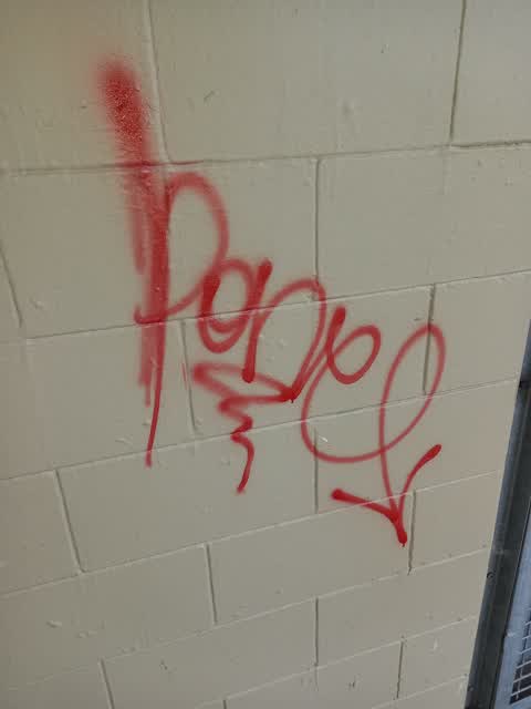
 Graffiti on a playground or in a park, 5 Aug 2025
 Graffiti on almost all walls of the toilet block
 Park - General Request, 3 Dec 2023
 This tree has split down trunk. As it is along side a path there is potential for it to fall into it. A lot of children use this area.
- Fallen Tree, 29 Nov 2023
- Facility - General Request, 26 Nov 2023
- Graffiti, 21 Sept 2023
- Fallen Tree, 11 Apr 2023
- Fallen Tree, 10 Apr 2023
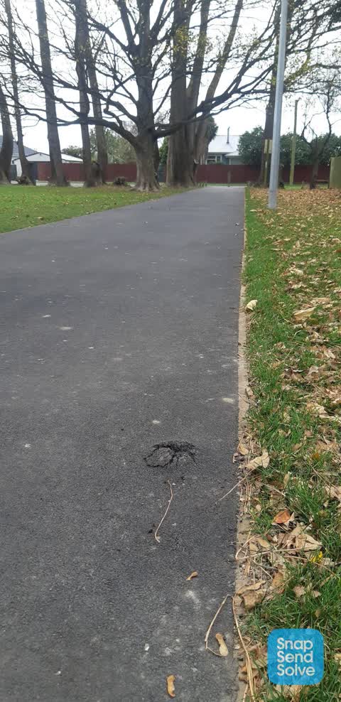
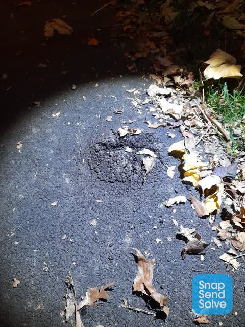
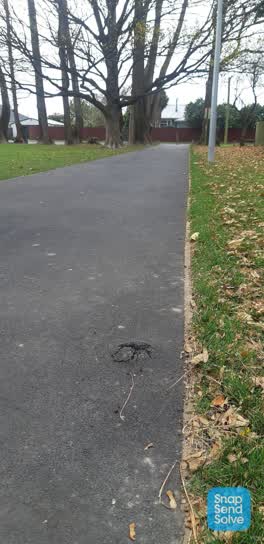 Roading/Streets, 12 Jun 2022
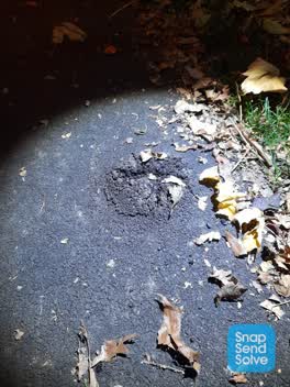
 Tripping hazard in new pathway footpath
 Roading/Streets, 9 Jun 2022
 Tree root has pushed through new pavement in Somerfield Park. Tripped on it last night when walking dog. Footpath runs from Woodard Tce to t
 Graffiti, 16 Feb 2022
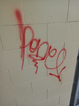
 Close to men's toilets, somerfield park toilets
Elsewhere on Bard Street
- 7 Bard Street, 9 reports
- 1 Bard Street, 5 reports
- 9 Bard Street, 3 reports
- 5A Bard Street, 1 report
- 11 Bard Street, 1 report
The civic layer
This ground votes in Cashmere ward, the Spreydon-Cashmere-Heathcote community board is its local layer. Ward lines don’t always follow suburb lines; this one is measured at the pin, not the suburb’s centre. The whole roll is at /wards.
Bard Street, the whole record → · Everything about Somerfield → · What stood on this ground → · On the map → · From the air, RetroLens holds the Crown’s aerials back to 1936; search the address there →
Questions, answered briefly
10 council reports on record since February 2022, most often fallen tree (3), roading/streets (2), graffiti (2).
Somerfield, Christchurch, on Bard Street.
The heritage register names 2 places at or beside it, Somerfield Hall, MED Substation.
Somerfield Park, the address is inside it, 3 ha.