65 Studholme Street, Somerfield
14 reports on record since September 2016 · 12 with photographs. The street’s heaviest record is 59 Studholme Street — 141 reports on file. Indicative rating valuation and school zones, hazards, bin day and what stood here before.
What gets reported here
Photographed here 12 on record


Reported here
 Trees - General —
 Broken tree branch hanging dangerously above the footpath.
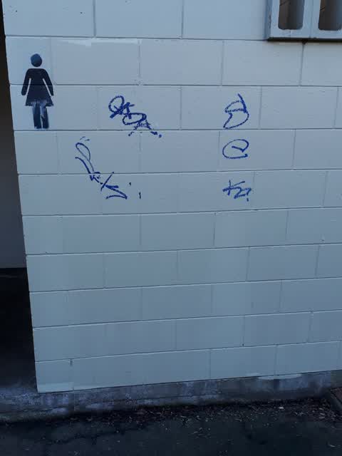
 Graffiti on a bus stop or public toilet —
 Somerfield Park Mens toilet
 Graffiti on a bus stop or public toilet —
 Somerfield Park Mens toilet . ( New ) Has returned after painter
 Graffiti on a bus stop or public toilet —
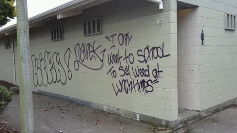
 Offensive tagging ( new) Somerfield Park Mens toilet
- Roads - General —
- Graffiti —
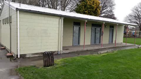
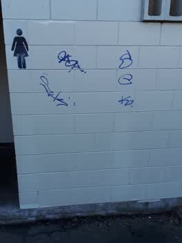 Graffiti —
 toilet block
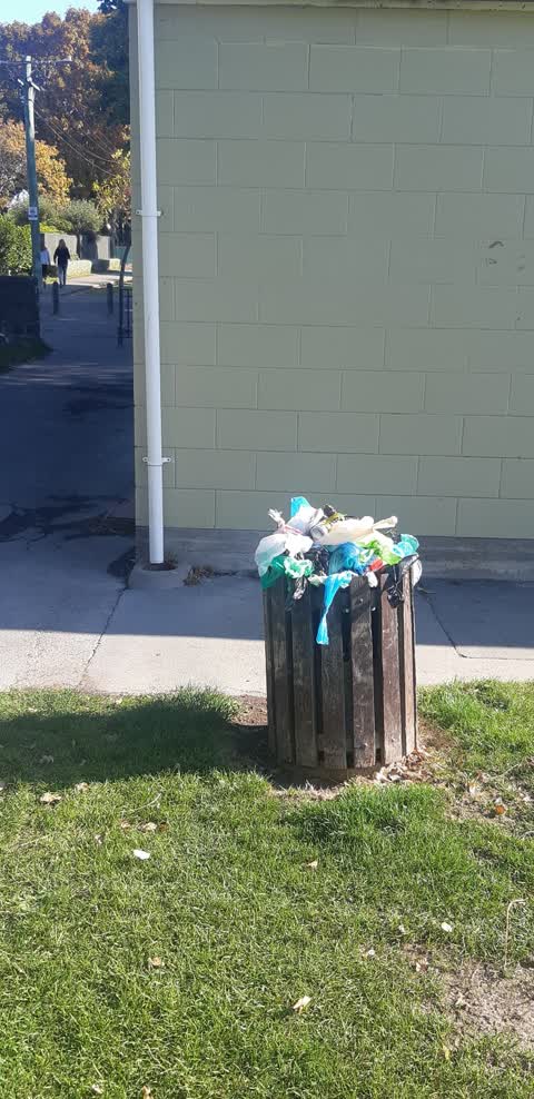
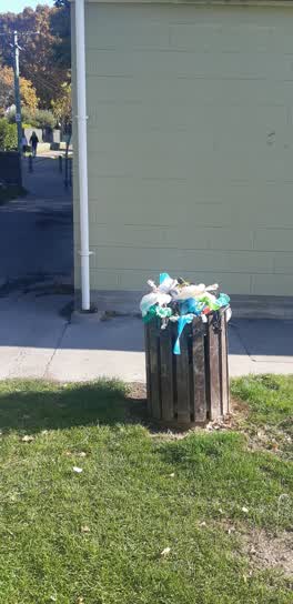 Rubbish/Recycling —
 essential services
Graffiti —
Somerfield park toilet block. poorly cleaned tagging and some new small tags.
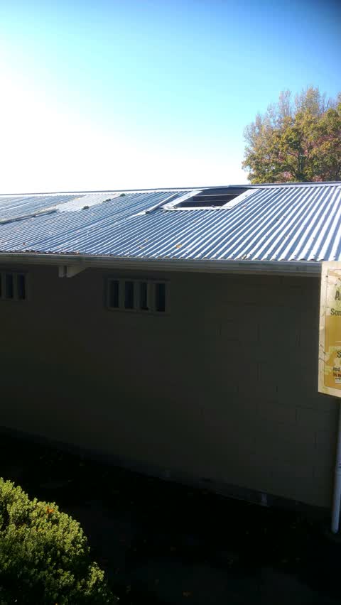
Parks —
Skylight broken on toilet block
Parks —
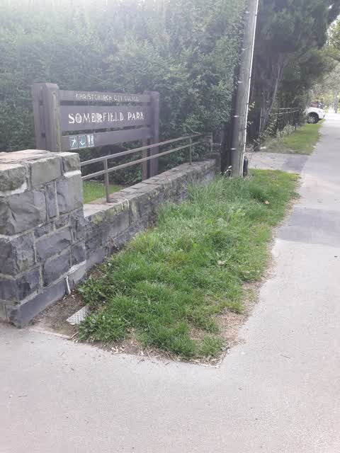
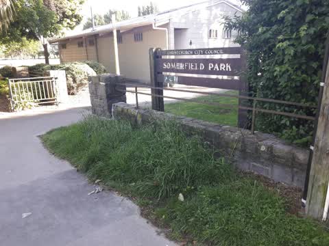
Grass in front of sign at Somerfield Park is still getting missed. This should not be a response job, it should be getting done with the res
Parks —
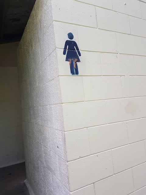
Women's toilet needs a good clean, particularly the toilet rim. Facies present.
Parks —
Bit of grass in front of sign keeps getting missed. Long and untidy.
Graffiti —
Graffiti on toilet block in some field park. Looks like black and purple spray paint.
Also reported on Studholme Street
- 59 Studholme Street — 141 reports
- 53 Studholme Street — 44 reports
- 47 Studholme Street — 26 reports
- 143 Studholme Street — 21 reports
- 26 Studholme Street — 17 reports
- 128 Studholme Street — 12 reports
- 54 Studholme Street — 8 reports
- 2 Studholme Street — 7 reports
The street’s crash record
NZTA’s record names Studholme Street in 5 crashes that hurt somebody since 2006 — 2 seriously hurt, nobody killed.
The green nearby
- Somerfield Park — you are in it · Sports ground · 3 ha
Parks within half a kilometre, measured to the boundary — the council’s open data.
The civic shelf nearby
- Sydenham Cemetery — 203 m away · Cemetery
Libraries, halls and the rest within half a kilometre — the council’s open data.
On the doorstep
- The Groom Room — 339 m away · Hairdressers
Businesses within four hundred metres, measured at the pin — OpenStreetMap and the council directories.
The tracks through here
- Walk and bike track through Somerfield — 21 m to the line · walk · bike
- Walk and bike track through Somerfield — 23 m to the line · walk · bike
- Walk and bike track through Somerfield — 233 m to the line · walk · bike
- Walk and bike track through Somerfield — 401 m to the line · walk · bike
- Walk and bike track through Somerfield — 412 m to the line · walk · bike
Tracks whose line passes within half a kilometre, measured to the line itself — the council’s open data.
The named ground
the council’s own structure register — bridges, boardwalks and steps standing nearby — the open map’s record.
The remembered names nearby
- 1929–2009 / This Seat Is a Gift — 60 m away ·
1929–2009 / This seat is a gift from / St Mark’s Methodist Church / to celebrate 80 years
· 2013
Inscribed plaques within two hundred and fifty metres — the register’s pins, not surveyed spots. The whole roll is at /plaques.
Renting nearby
new bonds in Somerfield ran about $567 a week — $17 above the city median of $550 — the suburb page keeps the rent record →.
What was here — Somerfield Hall
100 m away · 47 Studholme Street · located to ±23 m · the place’s own record →
On the register. Nothing researched here yet.
What was here — MED Substation
217 m away · 2E Woodard Terrace · located to ±6 m · the place’s own record →
On the register. Nothing researched here yet.
The civic layer
This ground votes in Cashmere ward — the Spreydon-Cashmere-Heathcote community board. Ward lines don’t always follow suburb lines; this one is measured at the pin, not the suburb’s centre.
What stood on this ground → · On the map → · From the air — the Crown’s aerials back to 1936; search the address on RetroLens →
Questions, answered briefly
14 council reports on record since September 2016 — most often parks (4), graffiti (4), graffiti on a bus stop or public toilet (3).
Somerfield, Christchurch — on Studholme Street.
The heritage register names 2 places at or beside it — Somerfield Hall, MED Substation.
Somerfield Park — the address is inside it, 3 ha.