85 Lyttelton Street, Somerfield
16 reports on record since August 2015 · 11 with photographs. The street’s heaviest record is 75 Lyttelton Street — 126 reports on file. Indicative rating valuation and school zones, hazards, bin day and what stood here before.
What gets reported here
- Graffiti — 5
- Water Leak — 3
- Pavement - Damaged — 2
- Water General — 1
- Vandalism - General — 1
- Rubbish/Recycling — 1
Photographed here 11 on record


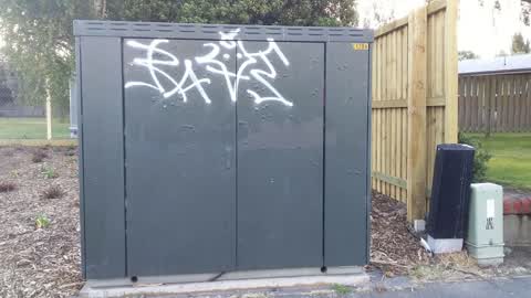
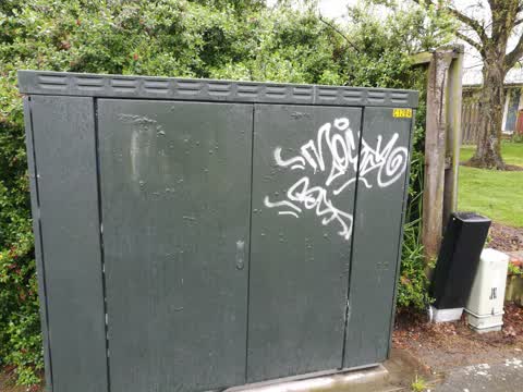
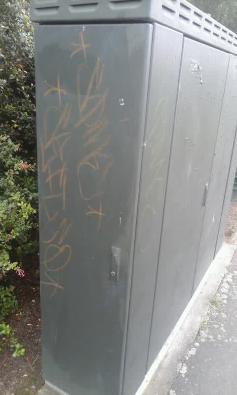
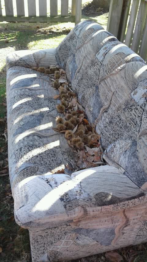
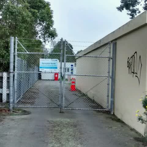
Reported here
 Water General —
 water mains check valve this thing 8s making a constant noise
 General Request —
 Lawns neeed regularly mowing outside social housing development
 Water Leak —
 I reported this link last year to council but nothing has been done. This gutter has been full of water for months so it is leaking from som
 Graffiti somewhere else —
  Graffiti on a cabinet, pole or railway asset —
  Pavement - Damaged —
 - Graffiti —
- Vandalism - General —
- Water Leak —
- Water Leak —
- Pavement - Damaged —
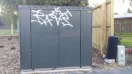 Graffiti —
 Graffiti —
Cabinet c120a
Graffiti —
Rubbish/Recycling —
Graffiti —
Also reported on Lyttelton Street
- 75 Lyttelton Street — 126 reports
- 81 Lyttelton Street — 56 reports
- 61 Lyttelton Street — 29 reports
- 32 Lyttelton Street — 24 reports
- 2 Lyttelton Street — 17 reports
- 83 Lyttelton Street — 16 reports
- 20 Lyttelton Street — 11 reports
- 58 Lyttelton Street — 10 reports
The street’s crash record
NZTA’s record names Lyttelton Street in 33 crashes that hurt somebody since 2006 — 8 seriously hurt, nobody killed.
The green nearby
- Centennial Park — 34 m to the edge · Sports ground · 10 ha
- Hoon Hay Scouts Reserve — 250 m to the edge
- Rydal Reserve — 463 m to the edge
- Cashmere View Playground — 488 m to the edge
Parks within half a kilometre, measured to the boundary — the council’s open data.
The civic shelf nearby
- Pioneer — 145 m away · Recreation centre · 61 Lyttelton Street
Libraries, halls and the rest within half a kilometre — the council’s open data.
On the doorstep
- Plunge Cafe — 157 m away · Cafés
- Pioneer Recreation and Sport Centre — 169 m away · Sports centres
Businesses within four hundred metres, measured at the pin — OpenStreetMap and the council directories.
The bus nearby
- Lyttelton St near Conway St — 119 m away · the Orbiter (anticlockwise)
- Lyttelton St — 128 m away · the Orbiter (anticlockwise)
The closest Metro stops, within four hundred and fifty metres.
The tracks through here
- Walk and bike track through Somerfield — 181 m to the line · walk · bike
- Walk and bike track through Somerfield — 205 m to the line · walk · bike
Tracks whose line passes within half a kilometre, measured to the line itself — the council’s open data.
The named ground
Named water within 500 m of this address, measured to the line or the edge — the open map’s record.
The remembered names nearby
- In Loving Memory of / Ian Whitehead — 145 m away ·
In Loving Memory of / Ian Whitehead / Ian was the source of ideas, / an inspirational lead
Inscribed plaques within two hundred and fifty metres — the register’s pins, not surveyed spots. The whole roll is at /plaques.
Renting nearby
new bonds in Somerfield ran about $567 a week — $17 above the city median of $550 — the suburb page keeps the rent record →.
The civic layer
This ground votes in Cashmere ward — the Spreydon-Cashmere-Heathcote community board. Ward lines don’t always follow suburb lines; this one is measured at the pin, not the suburb’s centre.
What stood on this ground → · On the map → · From the air — the Crown’s aerials back to 1936; search the address on RetroLens →
Questions, answered briefly
16 council reports on record since August 2015 — most often graffiti (5), water leak (3), pavement - damaged (2).
Somerfield, Christchurch — on Lyttelton Street.
Nothing on the heritage register at this exact spot — the record around this ground →
Centennial Park — 34 m to its edge, 10 ha.