93 Barrington Street, Somerfield
11 reports on record since December 2015 · 9 with photographs. The street’s heaviest record is 105 Barrington Street — 30 reports on file. Indicative rating valuation and school zones, hazards, bin day and what stood here before.
What gets reported here
- Water Leak — 3
- Dumped Rubbish — 2
- Roading/Streets — 1
- Pavement - General — 1
- Pavement - Damaged — 1
- Parks — 1
Photographed here 9 on record




Reported here
 Damaged Street Sign —
 ‘Barrington St’ sign loose, at an angle & likely to fall in a strong wind
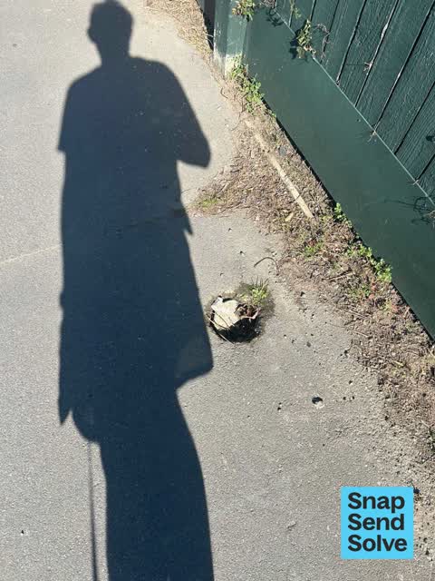
 Pavement - Damaged —
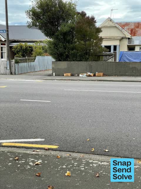
  Dumped Rubbish —
 Dumped bed base here, has been for weeks
 Water Leak —
 leaking sluice valve - water
 Pavement - General —
 Total Tress, cutting large branches overhead with no signage, no traffic control and no consideration. On a blind corner poking into the roa
 Dumped Rubbish —
 This was clearly intended to be a ‘hey, we have free stuff’ thing, but it’s been there for a month at a guess, and is now becoming a source
- Water Leak —
- Overgrown Vegetation —
 Water Leak —
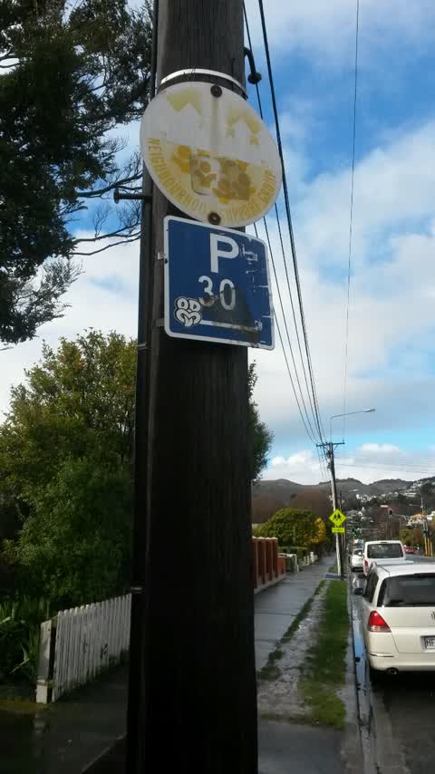
 Parks —
P30 sign not clear. Could you please clear the sign and arrow so that we can enforce. Can't enforce at the moment as signs not clear
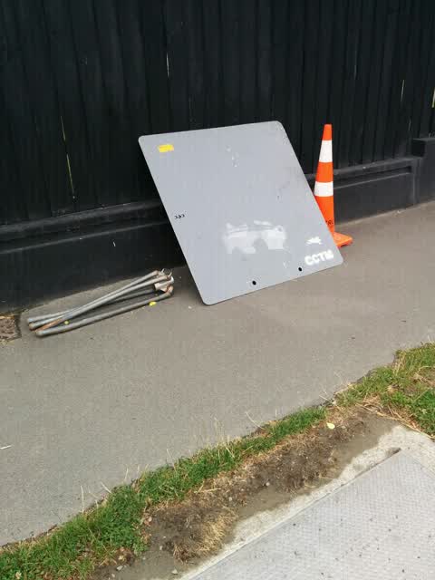
Roading/Streets —
Please remove this sign and the road cones up the road.
Also reported on Barrington Street
- 105 Barrington Street — 30 reports
- 118 Barrington Street — 10 reports
- 23 Barrington Street — 9 reports
- 217b Barrington Street — 9 reports
- 100 Barrington Street — 8 reports
- 94 Barrington Street — 7 reports
- 137 Barrington Street — 7 reports
- 131 Barrington Street — 7 reports
The street’s crash record
NZTA’s record names Barrington Street in 51 crashes that hurt somebody since 2006 — 12 seriously hurt, nobody killed.
The green nearby
- Cashmere Riverbank Reserve — 446 m to the edge · 1 ha
- Somerfield Park — 464 m to the edge · Sports ground · 3 ha
Parks within half a kilometre, measured to the boundary — the council’s open data.
On the doorstep
- Goat Cycles — 12 m away · Bike shops
- Somerfield Dairy — 19 m away · Dairies & convenience
- Sai Touch of Spice — 23 m away · Fast food
- Hillview Fish Supply — 31 m away · Fast food
Businesses within four hundred metres, measured at the pin — OpenStreetMap and the council directories.
The bus nearby
- Rose St near Beechworth Ave — 198 m away · route 44
- Rose St near Beechworth Ave — 245 m away · route 44
The closest Metro stops, within four hundred and fifty metres.
The tracks through here
- Walk and bike track through Somerfield — 10 m to the line · walk · bike
- Walk and bike track through Somerfield — 12 m to the line · walk · bike
- Walk and bike track through Somerfield — 246 m to the line · walk · bike
- Walk and bike track through Somerfield — 402 m to the line · walk · bike
- Walk and bike track through Somerfield — 418 m to the line · walk · bike
Tracks whose line passes within half a kilometre, measured to the line itself — the council’s open data.
The named ground
Named water within 500 m of this address, measured to the line or the edge — the open map’s record.
Renting nearby
new bonds in Somerfield ran about $567 a week — $17 above the city median of $550 — the suburb page keeps the rent record →.
The civic layer
This ground votes in Cashmere ward — the Spreydon-Cashmere-Heathcote community board. Ward lines don’t always follow suburb lines; this one is measured at the pin, not the suburb’s centre.
What stood on this ground → · On the map → · From the air — the Crown’s aerials back to 1936; search the address on RetroLens →
Questions, answered briefly
11 council reports on record since December 2015 — most often water leak (3), dumped rubbish (2), roading/streets (1).
Somerfield, Christchurch — on Barrington Street.
Nothing on the heritage register at this exact spot — the record around this ground →
Cashmere Riverbank Reserve — 446 m to its edge, 1 ha.