303 Selwyn Street, Spreydon
15 reports on record since April 2016 · 9 with photographs. The street’s heaviest record is 318 Selwyn Street, 20 reports on file. Indicative rating valuation and school zones, hazards, bin day and what stood here before.
What gets reported here
Photographed here 9 on record


Reported here
 Roads - General,
Forgotten cones
 General Request,
 Hazard, vehicle,
This Ute blocked the road. Ute parked clearly on a yellow break line. The back trailer blocked the road. No access to Rosewarne St, from Sel
 Graffiti on a cabinet, pole or railway asset,
Submitted to Orion but they said this is not their box, not sure who owns it.
 Graffiti somewhere else,
Graffiti on sign post on the intersection between Selwyn Street and Rosewarne Street.
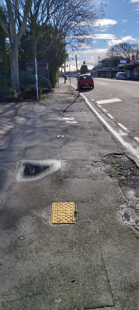
 Pavement - Damaged,
 Water Leak,
- Street Gutters / Storm Water,
- Water Leak,
- Damaged Road,
- Water Leak,
- Dumped Rubbish,
- Dumped Rubbish,
 Roading/Streets,
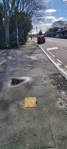
Hi Team Can you please look into the following in this location. #1 Foot Path Repair As I was using my phone I stumbled on this pice of bro
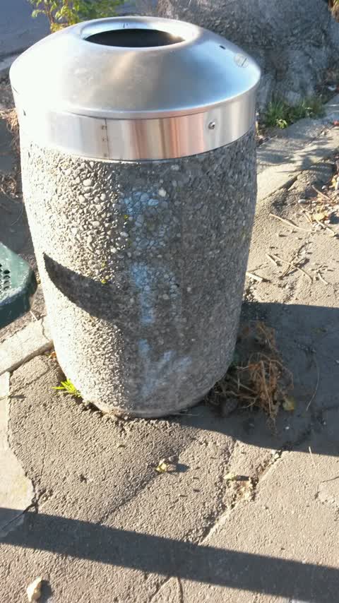
Graffiti,
Graffiti on back of rubbish bin by seat
Also reported on Selwyn Street
- 318 Selwyn Street, 20 reports
- 288A Selwyn Street, 17 reports
- 262 Selwyn Street, 13 reports
- 304 Selwyn Street, 10 reports
- 320 Selwyn Street, 9 reports
- 204 Selwyn Street, 9 reports
- 294 Selwyn Street, 8 reports
- 185 Selwyn Street, 8 reports
From the air, then
Sourced from Canterbury Maps and partners. LINZ, CC BY 3.0 NZ. Each frame is cut from Environment Canterbury’s historic imagery MapServer for that decade, only where the Footprints layer names a CC BY survey (NZAM-covered spots stay out). RetroLens holds more Crown aerials →
The street’s crash record
NZTA’s record names Selwyn Street in 28 crashes that hurt somebody since 2006, 6 seriously hurt, nobody killed.
The green nearby
- Selwyn Reserve, 82 m to the edge
- Simeon Park, 292 m to the edge · 1 ha
- Ruskin Reserve, 373 m to the edge
- Jerrold Reserve, 451 m to the edge
- Baxters Drain, 465 m to the edge
Parks within half a kilometre, measured to the boundary, the council’s open data.
On the doorstep
- Selwyn Fish Supply, 27 m away · Fast food
- The Bottle-O, 27 m away · Bottle stores
- Celtic Arms Inn, 29 m away · Bars & pubs
- Pies and Coffee, 43 m away · Cafés
Businesses within four hundred metres, measured at the pin: OpenStreetMap and the council directories.
The bus nearby
The closest Metro stops, within four hundred and fifty metres.
The tracks through here
- Walk and bike track through Spreydon, 103 m to the line · walk · bike
- Walk and bike track through Spreydon, 351 m to the line · walk · bike
- Walk and bike track through Spreydon, 365 m to the line · walk · bike
- Walk and bike track through Spreydon, 410 m to the line · walk · bike
- Walk and bike track through Spreydon, 449 m to the line · walk · bike
Tracks whose line passes within half a kilometre, measured to the line itself, the council’s open data.
The named ground
Named water within 500 m of this address, measured to the line or the edge; Named places within 1.5 km of this address; the council’s own structure register, bridges, boardwalks and steps standing nearby, the open map’s record.
Renting nearby
new bonds in Spreydon ran about $555 a week, about the city median, the suburb page keeps the rent record →.
The civic layer
This ground votes in Spreydon ward, the Spreydon-Cashmere-Heathcote community board. Ward lines don’t always follow suburb lines; this one is measured at the pin, not the suburb’s centre.
What stood on this ground → · On the map → · From the air, the Crown’s aerials back to 1936; search the address on RetroLens →
Questions, answered briefly
15 council reports on record since April 2016, most often water leak (3), dumped rubbish (2), street gutters / storm water (1).
Spreydon, Christchurch, on Selwyn Street.
Nothing on the heritage register at this exact spot, the record around this ground →
Selwyn Reserve, 82 m to its edge.