76 Edinburgh Street, Spreydon
12 reports on record since July 2019 · 10 with photographs. The street’s heaviest record is 162 Edinburgh Street — 13 reports on file. Indicative rating valuation and school zones, hazards, bin day and what stood here before.
What gets reported here
Photographed here 10 on record


Reported here
 Graffiti on a traffic light pole or cabinet, or wa —
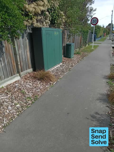
 Graffiti on a green electric box at the intersection of Lyttelton Street and Edinburgh Street.
 Street Gutters / Storm Water —
 Fallen leaves and tree debris all over footpath road and gutters preventing rain water from escaping, quite the mess, right on corner of Edi
 Graffiti on a fence, building or structure —
 Tagging
 Graffiti on a cabinet, pole or railway asset —
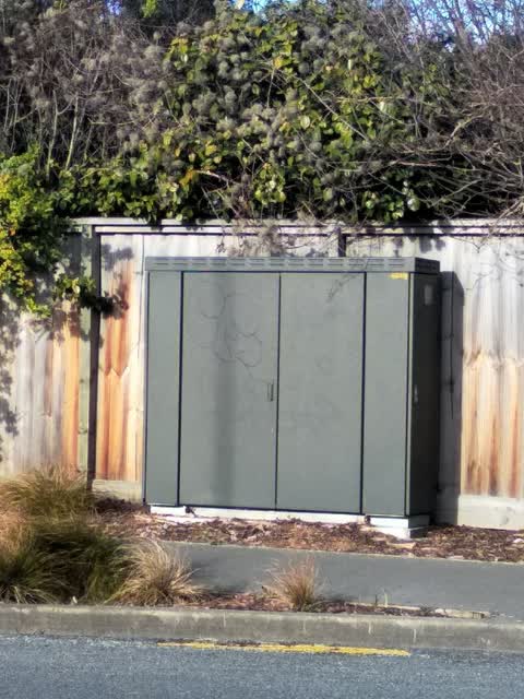
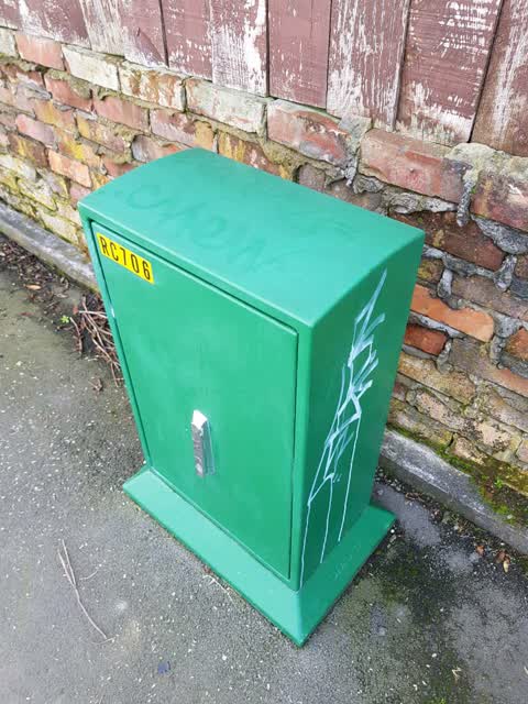
 Graffiti on green cabinet.
 Graffiti —
  Graffiti —
  Overgrown Vegetation —
 Hazardous overhanging dense branches blind person would smack their face into this hazard. Please ask home owner to trim far back. Thank you
 Overgrown Vegetation —
 Overgrown shrubbery hanging over footpath all the way around the corner section obstructing clear and safe passage for pedestrians. Almost w
- Overgrown Vegetation —
- Graffiti —
 Graffiti —
 Graffiti —
Also reported on Edinburgh Street
- 162 Edinburgh Street — 13 reports
- 171 Edinburgh Street — 7 reports
- 160 Edinburgh Street — 7 reports
- 130 Edinburgh Street — 7 reports
- 124 Edinburgh Street — 7 reports
- 117 Edinburgh Street — 6 reports
- 88 Edinburgh Street — 5 reports
- 82 Edinburgh Street — 5 reports
The street’s crash record
NZTA’s record names Edinburgh Street in 10 crashes that hurt somebody since 2006 — 0 seriously hurt, nobody killed.
The green nearby
- Lincoln Park — 287 m to the edge
- Cardigan Bay Reserve — 331 m to the edge
- Spreydon Domain — 394 m to the edge · Sports ground · 7 ha
- Leith Reserve — 407 m to the edge
Parks within half a kilometre, measured to the boundary — the council’s open data.
On the doorstep
- SuperValue Lincoln Road — 258 m away · Supermarkets
- Lincoln Road Medical Practice — 295 m away · Doctors & clinics
- Addington Stadium Motel — 345 m away · Motels
- Bin Inn — 355 m away · Supermarkets
Businesses within four hundred metres, measured at the pin — OpenStreetMap and the council directories.
The bus nearby
The closest Metro stops, within four hundred and fifty metres.
The tracks through here
- Walk and bike track through Spreydon — 14 m to the line · walk · bike
- Walk and bike track through Spreydon — 314 m to the line · walk · bike
- Walk and bike track through Spreydon — 390 m to the line · walk · bike
- Walk and bike track through Spreydon — 414 m to the line · walk · bike
- Walk and bike track through Spreydon — 428 m to the line · walk · bike
Tracks whose line passes within half a kilometre, measured to the line itself — the council’s open data.
Renting nearby
new bonds in Spreydon ran about $555 a week — about the city median — the suburb page keeps the rent record →.
The civic layer
This ground votes in Spreydon ward — the Spreydon-Cashmere-Heathcote community board. Ward lines don’t always follow suburb lines; this one is measured at the pin, not the suburb’s centre.
What stood on this ground → · On the map → · From the air — the Crown’s aerials back to 1936; search the address on RetroLens →
Questions, answered briefly
12 council reports on record since July 2019 — most often graffiti (5), overgrown vegetation (3), street gutters / storm water (1).
Spreydon, Christchurch — on Edinburgh Street.
Nothing on the heritage register at this exact spot — the record around this ground →
Lincoln Park — 287 m to its edge.