Halswell Road
8 reports at 3 addresses in Aidanfield, the first in 2016, the latest 2026. 8 separate days somebody filed something about it.
Where it runs
Each report dot is the average of the spots reports were filed from, where reporters stood on Halswell Road, not the street’s surveyed line. The strong outline is Aidanfield.
From the air, then
Sourced from Canterbury Maps and partners. RNZAF, CC BY 3.0 NZ. Each frame is cut from Environment Canterbury’s historic imagery MapServer for that decade, only where the Footprints layer names a CC BY survey (NZAM-covered spots stay out). RetroLens holds more Crown aerials →
The addresses on it
- 240 Halswell Road, 5 reports
- 201 Halswell Road, 2 reports
- 206 Halswell Road, 1 report
What got reported
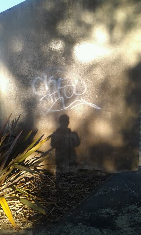
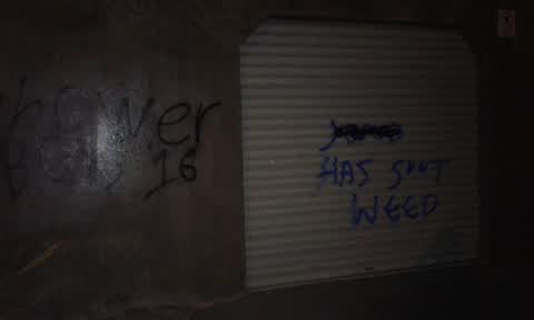
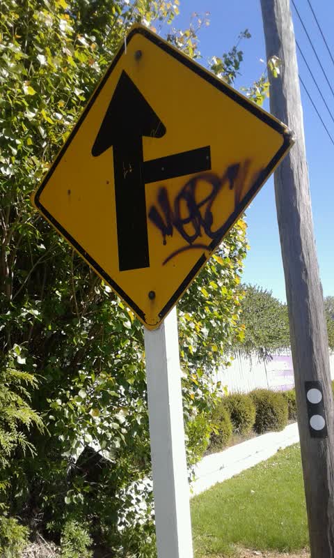
- Graffiti & vandalism, 5 reports
- Trees & parks, 2 reports
- Roads & footpaths, 1 report
Year by year
- 2016, 1 report
- 2017, 2 reports
- 2018, 1 report
- 2020, 1 report
- 2024, 1 report
- 2025, 1 report
In the written record
Archive documents carrying the street’s name: leads and citations, not verified history. 95 on the shelf; the 12 earliest:
- Page 8 Advertisements Column 1 (Lyttelton Times, 22 January 1862)
· Papers Past,
…lark auctioneers land and general commission agents 625 gloucester street for sale on the halswell road lincoln district a twenty-acre section of land fenced in divided into two paddocks and kid down…
- Page 3 Advertisements Column 4 (Lyttelton Times, 22 February 1862)
· Papers Past,
…of 30 acres ditto no 1387 of 30 acres and one block of 40 acres near the great south road halswell roada 20-acre section fenced in and all laid down with english grass with substantial house and large…
- ELECTORAL DISTRICT OF HEATHCOTE—CLAIMS TO VOTE.—IB 62. (Lyttelton Times, 12 April 1862)
· Papers Past,
…oad i morton i lincoln road i casterton heathcote valley i springs road i windmill road i halswell road i heathcote district i cashel street i hereford street i heathcote mill i heathcote mill i glenm…
- Page 6 Advertisements Column 3 (Lyttelton Times, 26 April 1862)
· Papers Past,
…sirable section is situated in the forks 0 the river and is distant about a mile from the halswell road price only 10 per acre luck clark 106 gloucester street valuable property for sale two miles fro…
- Page 6 Advertisements Column 4 (Lyttelton Times, 30 April 1862)
· Papers Past,
…oad about six miles from christchurch price only 7 per acre a section of six acres on the halswell road fenced in and under cultivation a capital spot for a residence the lease of a mostexcellent sect…
- Page 1 Advertisements Column 1 (Star, 19 September 1868)
· Papers Past,
…nd bonded stores hereford and tuam streets christchurcb and norwich quay lyttelton c 1029 halswell road board the rate roll of the above district for tbe year 1868-69 can be seen in the district at th…
- CHRISTCHURCH. (Star, 24 November 1868)
· Papers Past,
…eafter to get it rectified dr foster was authorised to do as he suggested letter from the halswell road board stating in answer to enquiries respecting the proposed alteration of the market-day that t…
- Page 1 Advertisements Column 3 (Star, 05 January 1870)
· Papers Past,
…r directly opposite their stores lately burnt down in cashel street 4997 c r d sutherland halswell road board mhe annual meeting of rate l payers will he held at the school house lower lincoln eoad on…
- Page 1 Advertisements Column 4 (Star, 06 January 1870)
· Papers Past,
halswell road board the annual meeting of rate payers will be held at the school house lower lincoln road on f…
- MR BLYTH'S WORKS, PREBBLETON (Star, 03 April 1871)
· Papers Past,
…and hotel the land on which the works stand is at the junction of the main road with the halswell road and opposite the hotel the first building mr blyth erected gave a workshop 20ft hy 15ft and in t…
- Page 1 Advertisements Column 1 (Star, 31 December 1873)
· Papers Past,
…ried man as gardener and groom must be able to milk reference required apply to a whincop halswell road 9420 wanted an active boy as conductor for an omnibus apply during the day at the stables armagh…
- Page 1 Advertisements Column 1 (Star, 03 January 1874)
· Papers Past,
…ried man as gardener and groom must be able to milk reference required apply to a whincop halswell road 9420 lost on wednesday last between the railway gates montreal street and tuara street a deliver…
The rest are a search away, the whole shelf, for the name →
Heard on the wire
Public posts that name the street: relayed, not verified.
As it was reported



The latest on it
Questions, answered briefly
In Aidanfield, Christchurch, New Zealand.
8 reports at 3 addresses, most often graffiti & vandalism (5), trees & parks (2), roads & footpaths (1).
2016, the record covers 8 separate days somebody filed something about it, through 2026.
Every street the archive knows → · Aidanfield → · This street as a feed →