Portsmouth Street
2 council reports at 2 addresses on Portsmouth Street, Avondale, on record since March 2018.
Where it runs
Each report dot is the average of the spots reports were filed from, where reporters stood on Portsmouth Street, not the street’s surveyed line. The strong outline is Avondale.
From the air, then
Sourced from Canterbury Maps and partners. LINZ, CC BY 3.0 NZ. Each frame is cut from Environment Canterbury’s historic imagery MapServer for that decade, only where the Footprints layer names a CC BY survey (NZAM-covered spots stay out). RetroLens holds more Crown aerials →
The numbered spots
- 4-6 Portsmouth Street, 1 report
- 4 Portsmouth Street, 1 report
What got reported
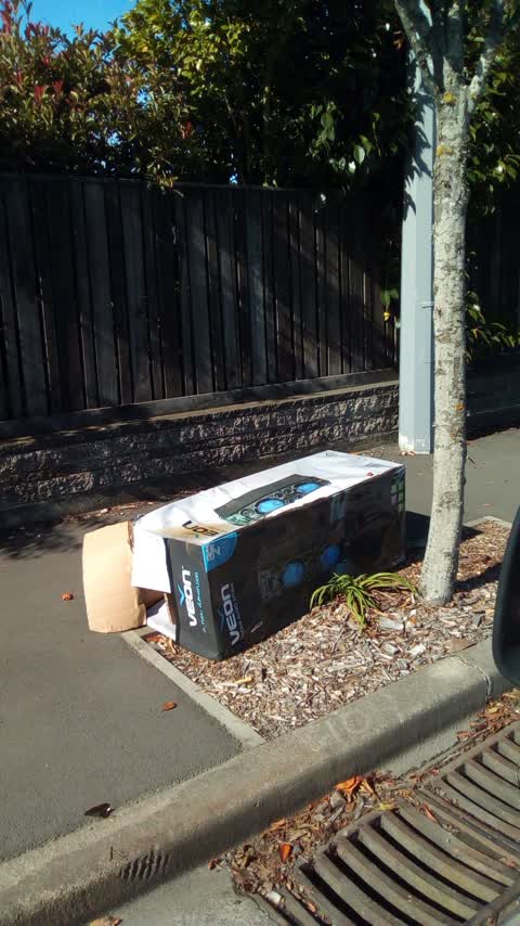
- Rubbish & dumping, 1 report
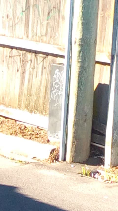
- Graffiti & vandalism, 1 report
Year by year
- 2018, 2 reports
Documents that name it
Records on the shelf that name Portsmouth Street.
- In Bankruptcy · New Zealand Gazette ·
…3 Steele Street, Hornby, Christchurch, at 12.44 p.m.O’Leary, Travis John, labourer, of 16 Portsmouth Street, Aranui, Christchurch, at 1.50 p.m.Parker, Darryl James, beneficiary, of 56 Shamrock Street,…
The rest are a search away, the whole shelf, for the name →
The crash record on it
NZTA’s record names Portsmouth Street in 8 crashes that hurt somebody since 2006, 1 seriously hurt, nobody killed.
As it was reported
Latest on record
- Graffiti at 4 Portsmouth St, 21 May 2018
- Rubbish/Recycling at 4-6 Portsmouth St, 26 Mar 2018
Questions, answered briefly
In Avondale, Christchurch, New Zealand.
2 reports at 2 addresses, most often rubbish & dumping (1), graffiti & vandalism (1).
2018, the record covers 2 separate days somebody filed something about it, through 2018.
Everything about Avondale → · Every street the archive knows → · the whole A–Z → · This street as a feed →