Anzac Drive
11 reports at 7 addresses in Bexley, the first in 2016, the latest 2020. 8 separate days somebody filed something about it.
Where it runs
Each report dot is the average of the spots reports were filed from, where reporters stood on Anzac Drive, not the street’s surveyed line. The strong outline is Bexley.
From the air, then
Sourced from Canterbury Maps and partners. LINZ, CC BY 3.0 NZ. Each frame is cut from Environment Canterbury’s historic imagery MapServer for that decade, only where the Footprints layer names a CC BY survey (NZAM-covered spots stay out). RetroLens holds more Crown aerials →
The addresses on it
- 110-118 Anzac Drive, 3 reports
- 160-170 Anzac Drive, 2 reports
- 147-165 Anzac Drive, 2 reports
- 281-295 Anzac Drive, 1 report
- 281 Anzac Drive, 1 report
- 184-192 Anzac Drive, 1 report
- 110 Anzac Drive, 1 report
What got reported
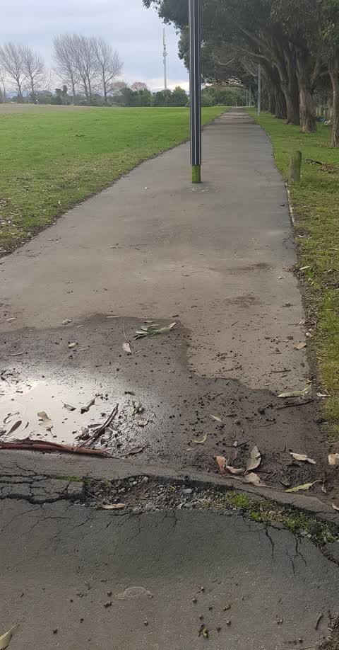
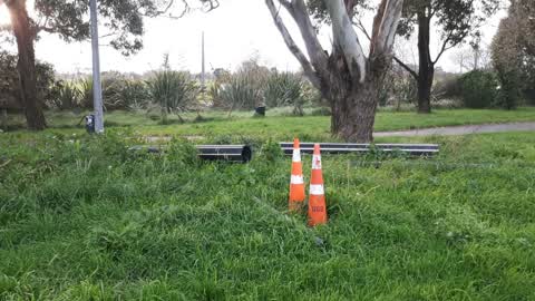
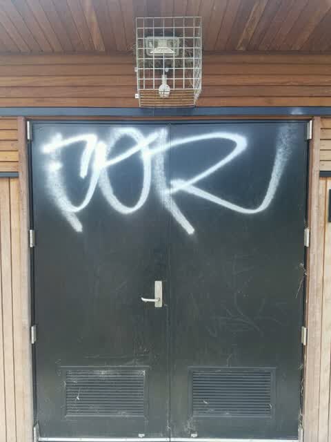
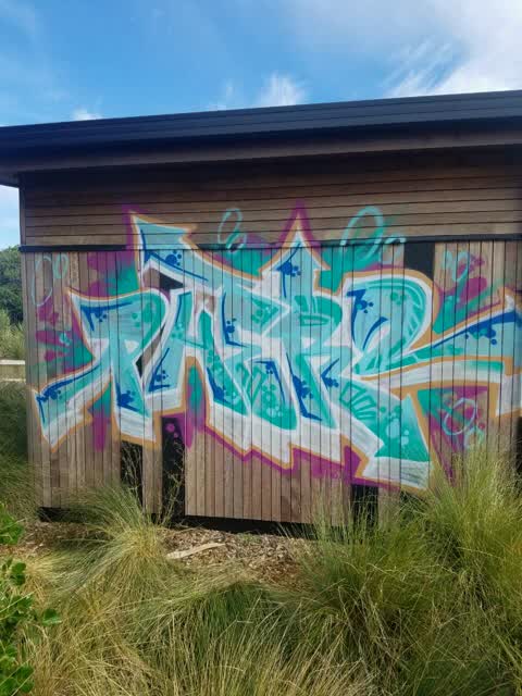
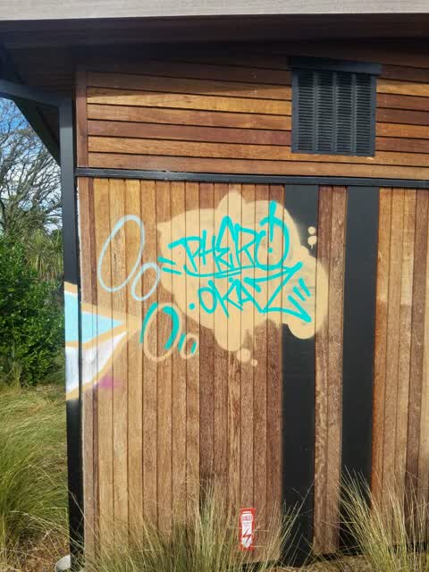
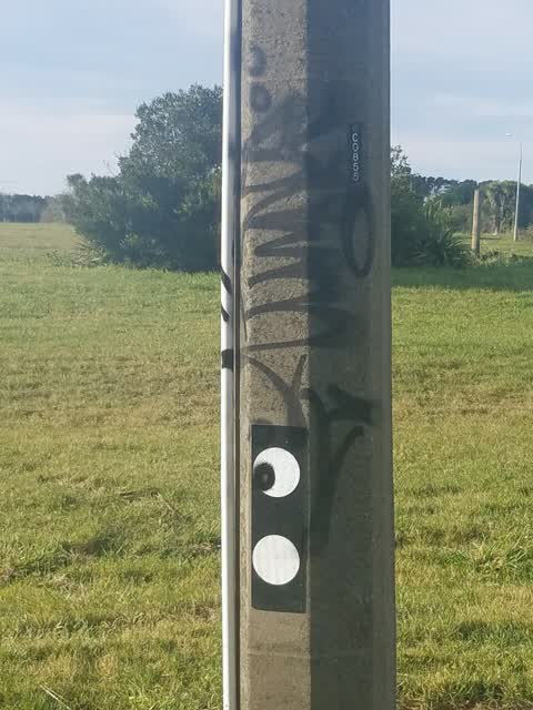
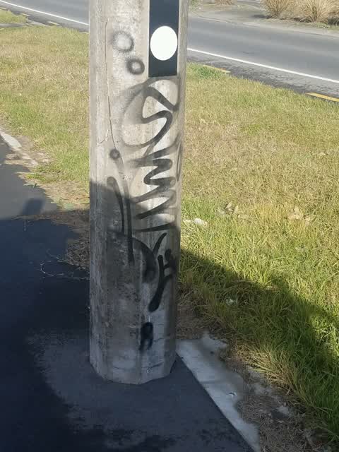
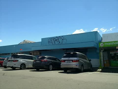
- Graffiti & vandalism, 7 reports
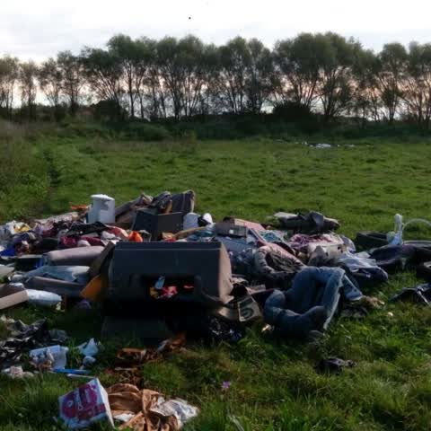
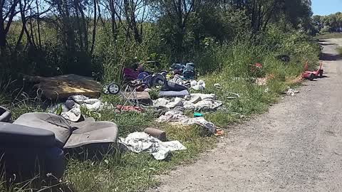
- Rubbish & dumping, 2 reports
- Trees & parks, 2 reports
Year by year
- 2016, 1 report
- 2017, 3 reports
- 2018, 6 reports
- 2020, 1 report
In the written record
Archive documents carrying the street’s name: leads and citations, not verified history.
- New Zealand Transport Agency (Speed Limits on State Highways) Bylaw 2010/10
· New Zealand Gazette,
…II Drive and Travis Road from 150m west of Burwood Road to 70m south of the Travis Road / Anzac Drive intersection. 50 1/09/2010, No 112, page 2967876 11 74 Christchurch From 70m south of the Travis R…
- Effects of the Canterbury earthquakes of 2010 and 2011, particularly in Christchurch City, Bexley, Avonside, Avon Loop
· TAPUHI,
…sley Avenue, and Otakoro Place, Bexley. Images taken in Avonside and the Avon loop show: Anzac Drive bridge, deep fissures in the earth, houses (including 392 Oxford Terrace, the home of Elsie and Ja…
- Effects of the Canterbury earthquakes of 2010 and 2011, particularly of aerial views of Christchurch City CBD and suburbs
· TAPUHI,
…Bexley suburbs (residential red zone areas) showing Horsehoe Lake Reserve, Avondale Park, Anzac Drive, Travis Wetland Nature Heritage Park, Avon River, Tasman and Moncrieff Place, Irene Street, Goodma…
The rest are a search away, the whole shelf, for the name →
The named ground
Named water within 150 m of a reported pin, measured to the line or the edge; the council’s own structure register, bridges, boardwalks and steps standing nearby, the open map’s record.
The crash record on it
NZTA’s record names Anzac Drive in 5 crashes that hurt somebody since 2006, 2 seriously hurt, nobody killed.
As it was reported

The latest on it
- Parks, 147-165 Anzac Drive,
- Parks, 160-170 Anzac Dr,
- Graffiti, 110-118 Anzac Dr,
- Graffiti, 110-118 Anzac Dr,
- Graffiti, 110-118 Anzac Dr,
- Graffiti, 110 Anzac Dr,
- Rubbish/Recycling, 281 Anzac Dr,
- Graffiti, 184-192 Anzac Drive,
- Graffiti, 147-165 Anzac Drive,
- Graffiti, 160-170 Anzac Dr,
- Rubbish/Recycling, 281-295 Anzac Drive,
Questions, answered briefly
In Bexley, Christchurch, New Zealand.
11 reports at 7 addresses, most often graffiti & vandalism (7), rubbish & dumping (2), trees & parks (2).
2016, the record covers 8 separate days somebody filed something about it, through 2020.
Every street the archive knows → · Bexley → · This street as a feed →