Neill Street
1 council report at 1 address on Neill Street, Cashmere, on record since December 2018.
Where it runs
Each report dot is the average of the spots reports were filed from, where reporters stood on Neill Street, not the street’s surveyed line. The strong outline is Cashmere.
From the air, then
Sourced from Canterbury Maps and partners. RNZAF, CC BY 3.0 NZ. Each frame is cut from Environment Canterbury’s historic imagery MapServer for that decade, only where the Footprints layer names a CC BY survey (NZAM-covered spots stay out). RetroLens holds more Crown aerials →
The numbered spots
- 28A Neill Street, 1 report
What got reported
- Water & drains, 1 report
Year by year
- 2018, 1 report
Documents that name it
Records on the shelf that name Neill Street, 11 in total; the 3 earliest:
- CHRISTCHURCH. (Star, 20 March 1890) · Papers Past ·
…rden and medbury and also with playing the three-card trick on the previous day detective neill stated that he had arrested the accused on the special train coming from the amuri races the police were…
- CHRISTCHURCH. (Star, 04 May 1891) · Papers Past ·
…y by ringing the electric fire alarm in colombo street north on sunday april 26 detective neill stated that on april 27 the accused admitted having rung the alarm a lad named bath also confirmed this…
- CHRISTCHURCH. (Star, 23 November 1894) · Papers Past ·
…ng found with housebreaking tools in his possession chief-detective oconnor and detective neill stated that on the previous night about 1015 they met accused and another man near the corner of tuam an…
The rest are a search away, the whole shelf, for the name →
As it was reported
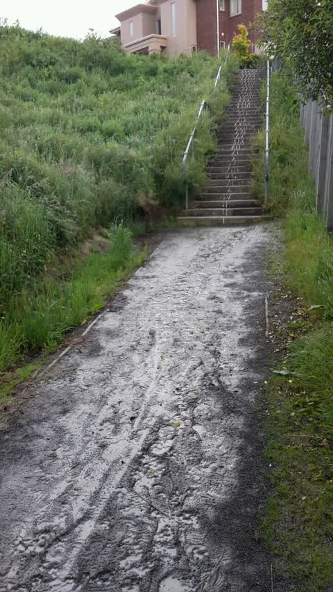
Latest on record
- Wastewater/Stormwater at 28A Neill St, 4 Dec 2018
Questions, answered briefly
In Cashmere, Christchurch, New Zealand.
1 report at 1 address, most often water & drains (1).
2018, the record covers 1 separate days somebody filed something about it, through 2018.
Everything about Cashmere → · Every street the archive knows → · the whole A–Z → · This street as a feed →