Savage Street
2 council reports at 2 addresses on Savage Street, Kainga, on record since November 2019.
Where it runs
Each report dot is the average of the spots reports were filed from, where reporters stood on Savage Street, not the street’s surveyed line. The strong outline is Kainga.
From the air, then
Sourced from Canterbury Maps and partners. LINZ, CC BY 3.0 NZ. Each frame is cut from Environment Canterbury’s historic imagery MapServer for that decade, only where the Footprints layer names a CC BY survey (NZAM-covered spots stay out). RetroLens holds more Crown aerials →
The numbered spots
- 9 Savage Street, 1 report
- 2 Savage Street, 1 report
What got reported
- Roads & footpaths, 1 report
- Trees & parks, 1 report
Year by year
- 2019, 1 report
- 2021, 1 report
Documents that name it
Records on the shelf that name Savage Street, 4 in total; the 3 earliest:
- HISTORIC REMINISCENCES. (Nelson Evening Mail, 03 December 1906) · Papers Past ·
…lington pl assuring messrs foley j��ind sons welling ton j painting and decorating messrs savage stons nelson plumjjtpg and gas fitting nelsoi tinware co ltd fittings m moffatt wellingeon mr j camp be…
- NEWS OF THE DAY (Evening Post, 30 January 1936) · Papers Past ·
…of facilities for radio broadcasting from parliament house the prime minister the hon m j savage stated yesterday that it was proposed to broadcast main debates only we cannot bring people to parliame…
- ROLL OF HONOUR (Evening Post, 11 February 1942) · Papers Past ·
…te mr r lynn capstan street onehunga f mnri lr mccluggage hector pte mrs d mccluggage 111 savage street palmerston north mcleoi norman hector lsgt mrs w mnssfts-stdsss pte mrs f merton tuahoa via kaip…
The rest are a search away, the whole shelf, for the name →
The crash record on it
NZTA’s record names Savage Street in 1 crash that hurt somebody since 2006, 1 seriously hurt, nobody killed.
As it was reported
Latest on record
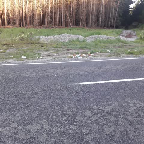
- Roading/Streets at 9 Savage Street, 20 Dec 2021
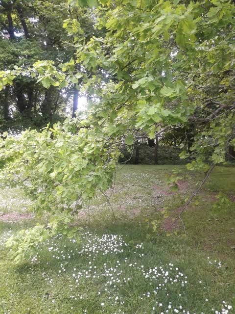
- Parks at 2 Savage St, 7 Nov 2019
Questions, answered briefly
In Kainga, Christchurch, New Zealand.
2 reports at 2 addresses, most often roads & footpaths (1), trees & parks (1).
2019, the record covers 2 separate days somebody filed something about it, through 2021.
Everything about Kainga → · Every street the archive knows → · the whole A–Z → · This street as a feed →