Waygreen Avenue
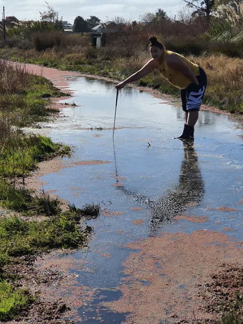
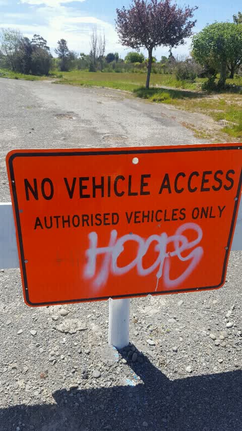
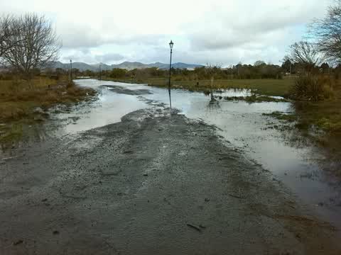
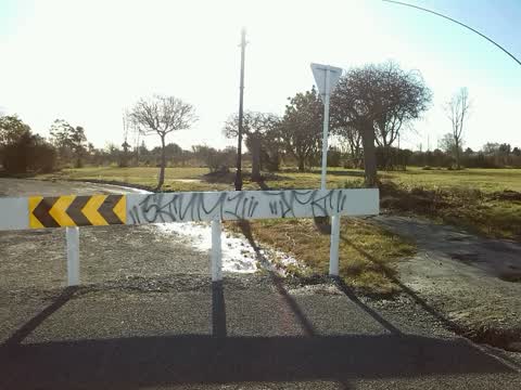
6 reports at 5 addresses in New Brighton, the first in 2016, the latest 2025. 6 separate days somebody filed something about it.
Where it runs
Each report dot is the average of the spots reports were filed from, where reporters stood on Waygreen Avenue, not the street’s surveyed line. The strong outline is New Brighton.
From the air, then
Sourced from Canterbury Maps and partners. RNZAF, CC BY 3.0 NZ. Each frame is cut from Environment Canterbury’s historic imagery MapServer for that decade, only where the Footprints layer names a CC BY survey (NZAM-covered spots stay out). RetroLens holds more Crown aerials →
The addresses on it
- 2 Waygreen Avenue, 2 reports
- 7 Waygreen Avenue, 1 report
- 3 Waygreen Avenue, 1 report
- 25 Waygreen Avenue, 1 report
- 20E Waygreen Avenue, 1 report
What got reported
- Graffiti & vandalism, 3 reports
- Roads & footpaths, 2 reports
- Rubbish & dumping, 1 report
Year by year
- 2016, 3 reports
- 2022, 1 report
- 2023, 1 report
- 2025, 1 report
In the written record
Archive documents carrying the street’s name: leads and citations, not verified history.
- Effects of the Canterbury earthquakes of 2010 and 2011, particularly of aerial views of Christchurch City CBD and suburbs
· TAPUHI,
…orary housing village there, Seabreeze Close, site of former QEII Stadium (liquefaction), Waygreen Avenue and Freeville School, Atlantis Street, Wattle Drive, Cockayne Reserve, Hulverston Drive, Owles…
The rest are a search away, the whole shelf, for the name →
The named ground
Named water within 150 m of a reported pin, measured to the line or the edge, the open map’s record.
As it was reported

The latest on it
Questions, answered briefly
In New Brighton, Christchurch, New Zealand.
6 reports at 5 addresses, most often graffiti & vandalism (3), roads & footpaths (2), rubbish & dumping (1).
2016, the record covers 6 separate days somebody filed something about it, through 2025.
Every street the archive knows → · New Brighton → · This street as a feed →