John Monck Lane
2 council reports at 2 addresses on John Monck Lane, Redcliffs, on record since January 2021.
Where it runs
Each report dot is the average of the spots reports were filed from, where reporters stood on John Monck Lane, not the street’s surveyed line. The strong outline is Redcliffs.
From the air, then
Sourced from Canterbury Maps and partners. RNZAF, CC BY 3.0 NZ. Each frame is cut from Environment Canterbury’s historic imagery MapServer for that decade, only where the Footprints layer names a CC BY survey (NZAM-covered spots stay out). RetroLens holds more Crown aerials →
The numbered spots
- 5 John Monck Lane, 1 report
- 2 John Monck Lane, 1 report
What got reported
- Water & drains, 2 reports
Year by year
- 2021, 1 report
- 2024, 1 report
The named ground
the council’s own structure register, bridges, boardwalks and steps standing nearby, the open map’s record.
As it was reported

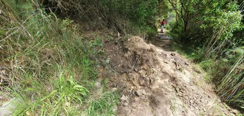
Latest on record
- Water Leak at 2 John Monck Lane, 24 Oct 2024
- Water Leak at 5 John Monck Lane, 18 Jan 2021
Questions, answered briefly
In Redcliffs, Christchurch, New Zealand.
2 reports at 2 addresses, most often water & drains (2).
2021, the record covers 2 separate days somebody filed something about it, through 2024.
Everything about Redcliffs → · Every street the archive knows → · the whole A–Z → · This street as a feed →