Rattray Street
186 reports at 38 addresses in Riccarton, the first in 2015, the latest 2026. 146 separate days somebody filed something about it.
Where it runs
Each report dot is the average of the spots reports were filed from, where reporters stood on Rattray Street, not the street’s surveyed line. The strong outline is Riccarton.
From the air, then
Sourced from Canterbury Maps and partners. LINZ, CC BY 3.0 NZ. Each frame is cut from Environment Canterbury’s historic imagery MapServer for that decade, only where the Footprints layer names a CC BY survey (NZAM-covered spots stay out). RetroLens holds more Crown aerials →
The addresses on it
- 83 Rattray Street, 24 reports
- 85 Rattray Street, 21 reports
- 81 Rattray Street, 16 reports
- 87 Rattray Street, 9 reports
- 88B Rattray Street, 8 reports
- 82 Rattray Street, 8 reports
- 77 Rattray Street, 8 reports
- 88 Rattray Street, 7 reports
- 79 Rattray Street, 7 reports
- 80 Rattray Street, 6 reports
- 84 Rattray Street, 5 reports
- 81A Rattray Street, 5 reports
- 75 Rattray Street, 5 reports
- 108 Rattray Street, 5 reports
- 99 Rattray Street, 4 reports
- 97 Rattray Street, 4 reports
- 94 Rattray Street, 4 reports
- 101 Rattray Street, 4 reports
- 100B Rattray Street, 4 reports
- 98 Rattray Street, 3 reports
- 75A Rattray Street, 3 reports
- 103 Rattray Street, 3 reports
- 97B Rattray Street, 2 reports
- 95 Rattray Street, 2 reports
- 110A Rattray Street, 2 reports
- 107 Rattray Street, 2 reports
- 104 Rattray Street, 2 reports
- 102 Rattray Street, 2 reports
- 101A Rattray Street, 2 reports
- 98A Rattray Street, 1 report
- 96 Rattray Street, 1 report
- 93 Rattray Street, 1 report
- 86 Rattray Street, 1 report
- 114 Rattray Street, 1 report
- 112 Rattray Street, 1 report
- 108A Rattray Street, 1 report
- 106 Rattray Street, 1 report
- 105 Rattray Street, 1 report
What got reported
- Rubbish & dumping, 98 reports
- Roads & footpaths, 49 reports
- Trees & parks, 15 reports
- Vehicles & parking, 6 reports
- Graffiti & vandalism, 6 reports
- Water & drains, 5 reports
- Noise, 4 reports
- Everything else, 3 reports
Year by year
- 2015, 1 report
- 2018, 1 report
- 2020, 2 reports
- 2021, 46 reports
- 2022, 21 reports
- 2023, 37 reports
- 2024, 16 reports
- 2025, 28 reports
In the written record
Archive documents carrying the street’s name: leads and citations, not verified history. 157 on the shelf; the 12 earliest:
- News of the Week. (Otago Witness, 27 February 1864)
· Papers Past,
…ch next the lease of the portion of town lands reclaimed from the harbor situated between rattray street and jetty street piers will be offered for sale by public auction particulars will be published…
- THE Otago Daily Times. (Otago Daily Times, 07 November 1864)
· Papers Past,
…blinded mr wilson proposes to water princes btreet from the octagon to the imperial hotel rattray street to the junction with maclaggan street and at least as far up the latter as the club house high…
- News of the Week. (Otago Witness, 12 November 1864)
· Papers Past,
…y it will be a most substantial erection and is excellently situated for a bond nearer to rattray street than this store the new warehouse of messrs dalgety rattray and co has already been carried con…
- Page 6 Advertisements Column 3 (Otago Daily Times, 07 April 1865)
· Papers Past,
…eet and princes street notiok of removal mr ix ross architect has removed front prince to rattray street next mcubbln hotel notice of removal jy-essrs 8 8 and a lazarvs wine and spirit merchants have…
- News of the Week. (Otago Witness, 11 November 1865)
· Papers Past,
…bout 28 years of age he was a native of england and was miriied his wife being reidcnt in rattray street john wright was a carpenter 30 years of age a native of scotland and married his wife and famil…
- Page 1 Advertisements Column 6 (Otago Daily Times, 03 June 1868)
· Papers Past,
…all parts of tho city he city company wholes and retail butchering establishment high and rattray streets dunedin gardner and dale proprietors shipping supplied important notice to the public of port…
- THE Otago Daily Times. DUNEDIN, WEDNESDAY, FEB. 17. (Otago Daily Times, 17 February 1869)
· Papers Past,
…entation to parliament one who wants to know asks us for what purpose the now shed on the rattray street jetty was erected it has been completed for the last fortnight and for tho same spice of time k…
- THE Grey River Argus SATURDAY, FEBRUARY 20, 1569. (Grey River Argus, 20 February 1869)
· Papers Past,
…ce messrs power pantliri and company instituted these sales weekly at an establishment in rattray street and tho large measure of patronage they received from persons who preferred to purchase a side…
- Page 1 Advertisements Column 3 (Otago Daily Times, 04 December 1871)
· Papers Past,
…jetty street wanted an apprentice for a baker in the country apply at once to r k murray rattray street servants wanted a woolwasher also a strong boy apply water of leith fellmongery albany street d…
- Page 3 Advertisements Column 3 (Otago Daily Times, 30 December 1871)
· Papers Past,
…e of five rooms above mr wises corner of princes and rattvay streets haying entrance from rattray street two of the rooms liave fireplaces and two are provided with patent stoves will be let at a redu…
- News of the Week. (Otago Witness, 22 March 1873)
· Papers Past,
…been kept at port chalmprs longer than anticipated but she would be at work deepening the rattray street channel in about a week and a small bide dredge now being made would foou be t wotk pn the same…
- News of the Week. (Otago Witness, 24 May 1873)
· Papers Past,
…lace last week in the new stores of messrs driver stewart and co situate at the bottom of rattray street there was a very fair number of competitors and the first prize 30 and a gold medalwas taken by…
The rest are a search away, the whole shelf, for the name →
The named ground
the council’s own structure register, bridges, boardwalks and steps standing nearby, the open map’s record.
The crash record on it
NZTA’s record names Rattray Street in 6 crashes that hurt somebody since 2006, 2 seriously hurt, nobody killed.
As it was reported


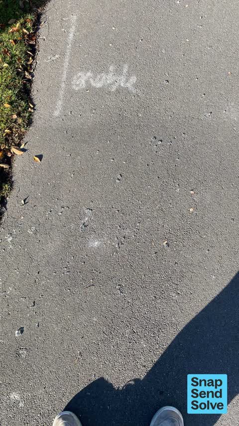


The latest on it
- Dumped Rubbish, 85 Rattray Street,
- Water Leak, 98 Rattray Street,
- Dumped Rubbish, 87 Rattray Street,
- Dumped Rubbish, 106 Rattray Street,
- Litter, 103 Rattray St,
- Dumped Rubbish, 79 Rattray St,
- Dumped Rubbish, 83 Rattray Street,
- Hazard, vehicle, 85 Rattray Street,
- Dumped Rubbish, 81A Rattray Street,
- Trees - General, 87 Rattray Street,
- Dumped Rubbish, 81A Rattray Street,
- Dumped Rubbish, 75 Rattray St,
- Fallen Tree, 85 Rattray Street,
- Trees - General, 108 Rattray Street,
- Overgrown Vegetation, 95 Rattray St,
Questions, answered briefly
In Riccarton, Christchurch, New Zealand.
186 reports at 38 addresses, most often rubbish & dumping (98), roads & footpaths (49), trees & parks (15).
2015, the record covers 146 separate days somebody filed something about it, through 2026.
Every street the archive knows → · Riccarton → · This street as a feed →