Burns Street
7 reports at 7 addresses in Sydenham, the first in 2017, the latest 2026. 7 separate days somebody filed something about it.
Where it runs
Each report dot is the average of the spots reports were filed from, where reporters stood on Burns Street, not the street’s surveyed line. The strong outline is Sydenham.
From the air, then
Sourced from Canterbury Maps and partners. LINZ, CC BY 3.0 NZ. Each frame is cut from Environment Canterbury’s historic imagery MapServer for that decade, only where the Footprints layer names a CC BY survey (NZAM-covered spots stay out). RetroLens holds more Crown aerials →
The addresses on it
- 7 Burns Street, 1 report
- 3-15 Burns Street, 1 report
- 3 Burns Street, 1 report
- 16 Burns Street, 1 report
- 15 Burns Street, 1 report
- 14 Burns Street, 1 report
- 13C Burns Street, 1 report
What got reported
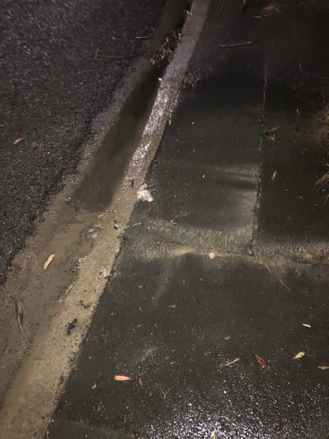
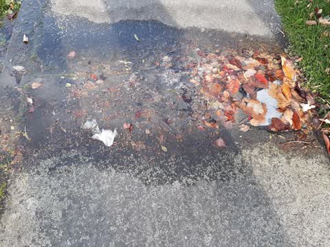
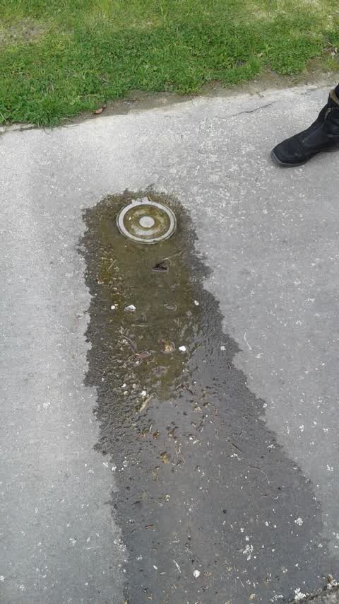
- Water & drains, 5 reports
- Rubbish & dumping, 1 report
- Roads & footpaths, 1 report
Year by year
- 2017, 1 report
- 2020, 2 reports
- 2022, 1 report
- 2023, 1 report
- 2025, 1 report
In the written record
Archive documents carrying the street’s name: leads and citations, not verified history. 36 on the shelf; the 10 earliest:
- News of the Week. (Otago Witness, 23 December 1876)
· Papers Past,
…nderstand that the hon mr ormond postmaster-general will shortly arrive in dunedin mr a j burns stands for north taieri riding and not for the east taieri as mentioned previously we have received a co…
- The Otago Daily Times. FRIDAY, MARCH IT, 1882. (Otago Daily Times, 17 March 1882)
· Papers Past,
…dnamely mr j pindlay of north taiori his objection was not sustained in our report of the burns statue eoneort yesterday we omitted to give due credit to mr thomas stewart who acted as conductoi the c…
- News of the Week. (Otago Witness, 29 April 1882)
· Papers Past,
…n promoted to the office of stationmaster at the latter place the ordinary meeting of the burns statue committee was held in the coffee palace on friday ovening mr rcampbell presiding the sub-committe…
- CHRISTCHURCH. (Star, 02 October 1882)
· Papers Past,
…qumner on september 26 mr moonnel appeared for complainant and mr stringer for defendants burns stated that tho three defendants had come to him while he was on his jetty at sumner unloading the volun…
- The Otago Daily Times. SATURDAY, SEPTEMBER 8, 1883. (Otago Daily Times, 08 September 1883)
· Papers Past,
…d mr h g moore presided at the organ and mr hathaway at the piano a concert in aid of the burns statue fund was given in the north dunedin hall last evening but was not very well attended the vocalist…
- LOCAL & GENERAL. (Otago Witness, 07 January 1887)
· Papers Past,
…al people in the vicinity at the time mr mmillan consented to pay for the damage done the burns statue fund committee held a meeting on the 30th when a letter from sir john steell was read stating tha…
- LOCAL & GENERAL. (Otago Witness, 28 January 1887)
· Papers Past,
…r salary for the current year was fixed at 400 it was resolved to offer facilities to the burns statue committee to place the monument in the octagon oar gore correspondent writes a fire broke out in…
- WEDNESDAY, MARCH 23, 1887. (Otago Daily Times, 23 March 1887)
· Papers Past,
…rge gathering on saturday afternoon on the occasion of laying the foundation stone of the burns statue his worship the mayor requests jthe employers of such employes as belong to the volunteers or are…
- PASSING NOTES. (Otago Witness, 20 May 1887)
· Papers Past,
…s complimentary very that both houses of parliament or part of them talk of coming to the burns statue ceremony what part or lot the two houses of parliament have in burns or his statue 1 it hardly be…
- LOCAL AND GENERAL. (Otago Witness, 17 February 1888)
· Papers Past,
…ely stripped oi fruit by the gale we learn from mr william brown the hon secretary of the burns statue committee 1 that the effort which is being made to clear off the debt on the statue is meeting wi…
The rest are a search away, the whole shelf, for the name →
The named ground
Named water within 150 m of a reported pin, measured to the line or the edge, the open map’s record.
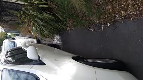
As it was reported


The latest on it
Questions, answered briefly
In Sydenham, Christchurch, New Zealand.
7 reports at 7 addresses, most often water & drains (5), rubbish & dumping (1), roads & footpaths (1).
2017, the record covers 7 separate days somebody filed something about it, through 2026.
Every street the archive knows → · Sydenham → · This street as a feed →