120 Evans Pass Road, Sumner
12 reports on record since October 2021 · 8 with photographs. The street’s heaviest record is 200 Evans Pass Road — 14 reports on file. Indicative rating valuation and school zones, hazards, bin day and what stood here before.
What gets reported here
Photographed here 8 on record


Reported here
 Graffiti on a fence, building or structure —
 Graffiti on side of retaining wall on Evan’s pass road (Sumner side)
 Dumped Rubbish —
 Fly tipping over wall off the road.
- Animal - Deceased —
Sheep dead, lying below track. Easy to see and smell just off track below Evans Pass road (Scarborough Track)
 Graffiti on a road, footpath or bridge —
 On retaining wall on road from Sumner to Summit Road, large amount visible from Captain Thomas walking track
 Graffiti —
 Graffiti on road retaining wall to remove
 Damaged Road —
 Road edging to level fill & seal. Damaged new seal
 Animal - General —
 Sheep left behind on hill above Evans Pass. All other sheep seemed to have been rounded up and gone
- Park - General Request —
- Street Gutters / Storm Water —
- Park - General Request —
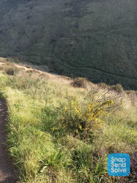
 Parks —
 Quite a bit of gorse and broom growing around the Captain Thomas track. Could it be sprayed out?
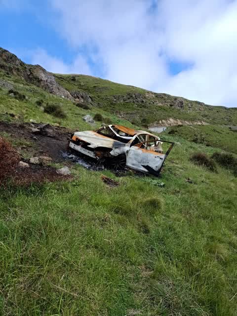
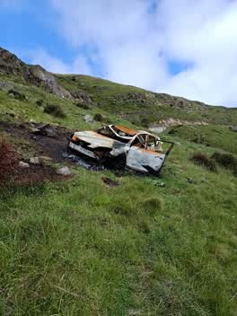 Rubbish/Recycling —
 Dump car wreck
Also reported on Evans Pass Road
- 200 Evans Pass Road — 14 reports
- 203 Evans Pass Road — 7 reports
- 191 Evans Pass Road — 6 reports
- 5 Evans Pass Road — 4 reports
- 177–189 Evans Pass Road — 4 reports
- 69 Evans Pass Road — 3 reports
- 34 Evans Pass Road — 3 reports
- 160 Evans Pass Road — 3 reports
The street’s crash record
NZTA’s record names Evans Pass Road in 34 crashes that hurt somebody since 2006 — 3 people killed, 13 seriously hurt.
The green nearby
- Sumnervale Reserve — 193 m to the edge · 9 ha
Parks within half a kilometre, measured to the boundary — the council’s open data.
The tracks through here
- Walk and bike track through Sumner — 263 m to the line · walk · bike
- Walk and bike track through Sumner — 474 m to the line · walk · bike
- Walk and bike track through Sumner — 485 m to the line · walk · bike
Tracks whose line passes within half a kilometre, measured to the line itself — the council’s open data.
The named ground
Named places within 1.5 km of this address; the council’s own structure register — bridges, boardwalks and steps standing nearby — the open map’s record.
Renting nearby
new bonds in Sumner ran about $620 a week — $70 above the city median of $550 — the suburb page keeps the rent record →.
The civic layer
This ground votes in Heathcote ward — the Spreydon-Cashmere-Heathcote community board. Ward lines don’t always follow suburb lines; this one is measured at the pin, not the suburb’s centre.
What stood on this ground → · On the map → · From the air — the Crown’s aerials back to 1936; search the address on RetroLens →
Questions, answered briefly
12 council reports on record since October 2021 — most often park - general request (2), street gutters / storm water (1), rubbish/recycling (1).
Sumner, Christchurch — on Evans Pass Road.
Nothing on the heritage register at this exact spot — the record around this ground →
Sumnervale Reserve — 193 m to its edge, 9 ha.