180 Waltham Road, Sydenham
31 reports on record since September 2021 · 21 with photographs. The street’s heaviest record is 255 Waltham Road — 99 reports on file. Indicative rating valuation and school zones, hazards, bin day and what stood here before.
What gets reported here
Photographed here 21 on record


Reported here
- Pavement - General —
fence around the wall bit in the middle of the road is skewed because a car has hit it
 Graffiti on a fence, building or structure —
 graffiti on light lamp post pole center island
 Graffiti on a sign, mural or public art —
 Graffiti,on back of sign,black/white/pink, backing on to "pedestrian protection area" Brougham Street /Waltham Road corner ( heading towards
 Graffiti on a sign, mural or public art —
 Graffiti on sign board
 Poles and Signage - General —
 graffiti on centre island lamp post pole
 Dumped Rubbish —
 Dumped couch
 Graffiti on a fence, building or structure —
 White paint tag on Units sign at 180 Waltham Road facing the footpath.
 Graffiti somewhere else —
 Behind street sign
 Graffiti somewhere else —
  Graffiti somewhere else —
 - Road Signage —
There are a number of road works signs just been left from previous works on Brougham St. These are between Shakespear Road and The school
 Roads - General —
 Contractors are dumping traffic management signs onto of plants in multiple areas down Waltham road. This has causes alot of damage to the p
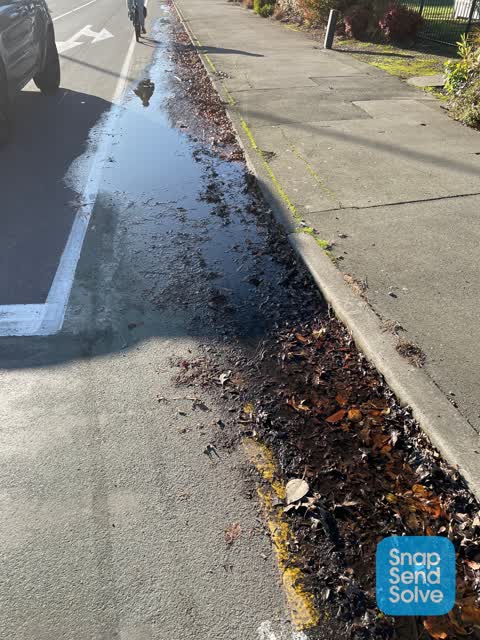
 Water Leak —
 Only noticed today, I ride this every day but I may not have noticed before. Looks like a slow to medium leak,
- Hazard — vehicle —
- Dumped Rubbish —
- Dumped Rubbish —
- Graffiti —
- Dumped Rubbish —
- General Request —
- Dumped Rubbish —
- Water Leak —
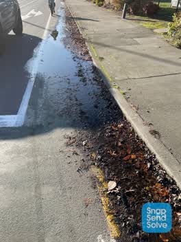 Water Leak —
 This has been wet for the past 4 days, I’m pretty sure there is a leak hidden under all these leaves as it’s completely covering the “painte
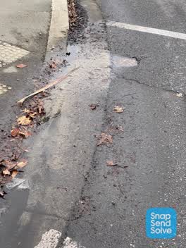 Water Leak —
 Water leaking from under metal cover. Creating large puddle over cycle lane. Hazardous to cyclists in winter as freezes. Been there for abou
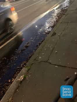 Roading/Streets —
 Blocked drains and dangerous bike lane blocking
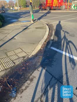 Water Leak —
 Leaking water valve
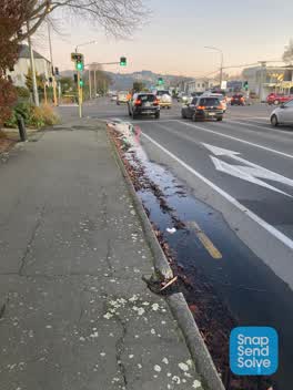 Sewer - Leak / Blockage —
 Water leaking from small water main cover on the road right on the intersection. Filling up stormwater drain which is blocked with leaves. B
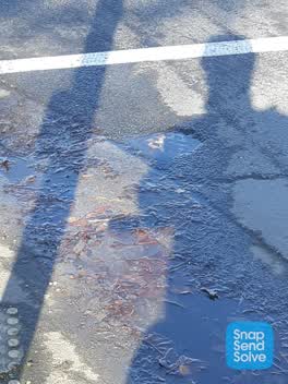 Water Leak —
 Water leaking from valve cnr brougham and Waltham
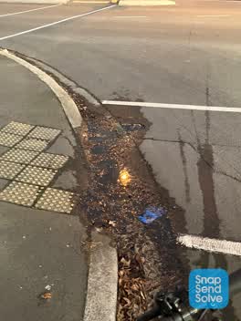 Water Leak —
 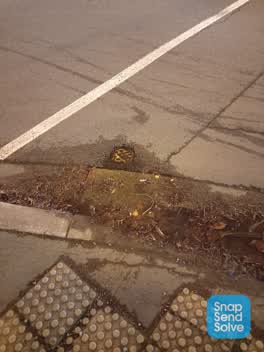 Water Leak —
 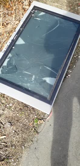 Rubbish/Recycling —
 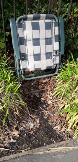 Rubbish/Recycling —
Also reported on Waltham Road
- 255 Waltham Road — 99 reports
- 373 Waltham Road — 41 reports
- 60 Waltham Road — 39 reports
- 64 Waltham Road — 38 reports
- 67 Waltham Road — 36 reports
- 37 Waltham Road — 36 reports
- 197 Waltham Road — 36 reports
- 111 Waltham Road — 36 reports
The street’s crash record
NZTA’s record names Waltham Road in 67 crashes that hurt somebody since 2006 — 8 seriously hurt, nobody killed.
The green nearby
- Tommy Taylor Reserve — 132 m to the edge
- Thackeray Reserve — 155 m to the edge
- Hastings Reserve — 335 m to the edge
- Cameron Reserve — 427 m to the edge
- Waltham Park — 490 m to the edge · Sports ground · 3 ha
Parks within half a kilometre, measured to the boundary — the council’s open data.
On the doorstep
- Big Daddy's Liquor - Brougham Street — 33 m away · Bottle stores
- The Coffee Workshop Waltham — 36 m away · Cafés
- Brougham Tavern — 45 m away · Bars & pubs
- Rise'n Grind Cafe — 99 m away · Cafés
Businesses within four hundred metres, measured at the pin — OpenStreetMap and the council directories.
The bus nearby
The closest Metro stops, within four hundred and fifty metres.
The tracks through here
- Walk and bike track through Sydenham — 12 m to the line · walk · bike
- Walk and bike track through Sydenham — 106 m to the line · walk · bike
- Walk and bike track through Sydenham — 219 m to the line · walk · bike
- Walk and bike track through Sydenham — 226 m to the line · walk · bike
- Walk and bike track through Sydenham — 308 m to the line · walk · bike
Tracks whose line passes within half a kilometre, measured to the line itself — the council’s open data.
The named ground
Named water within 500 m of this address, measured to the line or the edge — the open map’s record.
Renting nearby
new bonds in Sydenham ran about $518 a week — $32 below the city median of $550 — the suburb page keeps the rent record →.
The civic layer
This ground votes in Heathcote ward — the Spreydon-Cashmere-Heathcote community board. Ward lines don’t always follow suburb lines; this one is measured at the pin, not the suburb’s centre.
What stood on this ground → · On the map → · From the air — the Crown’s aerials back to 1936; search the address on RetroLens →
Questions, answered briefly
31 council reports on record since September 2021 — most often water leak (8), dumped rubbish (5), graffiti somewhere else (3).
Sydenham, Christchurch — on Waltham Road.
Nothing on the heritage register at this exact spot — the record around this ground →
Tommy Taylor Reserve — 132 m to its edge.