231 Colombo Street, Sydenham
17 reports on record since February 2018 · 11 with photographs. The street’s heaviest record is 468 Colombo Street — 71 reports on file. Indicative rating valuation and school zones, hazards, bin day and what stood here before.
What gets reported here
Photographed here 11 on record


Reported here
- Graffiti on a traffic light pole or cabinet, or wa —
walkers crossing button Broken in half.
 Graffiti on a fence, building or structure —
 graffiti on light lamp post pole
 Graffiti on a fence, building or structure —
 Graffiti on ccc managed lamp post pole
 Graffiti on a fence, building or structure —
 - Traffic Signals —
Only one of the traffic lights going northbound was working. No orange flashing lights, just nothing at all
 Graffiti on a cabinet, pole or railway asset —
 Tagging on this utility box from top tagger KAEPE.
- Street Cleaning —
Lot of glass on the way at the traffic lights right in front of the Woolworths on Colombo St. Looks like the result of a car crash. Sorry,
 Poles and Signage - General —
 Crossing Colombo Street opposite Beaumont Street is made difficult for 2 blind low vision pedestrians trying to access supermarket. due to;
 Road Signage —
 Green traffic light faulty (part missing) - heading south on west side of road
 Graffiti —
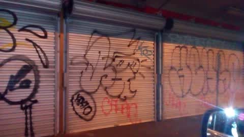
 Crew on top of 7 day dairy.
 Graffiti —
 St brown derby dairy
- Hazard — vehicle —
- Hazard — vehicle —
- Water General —
 Graffiti —
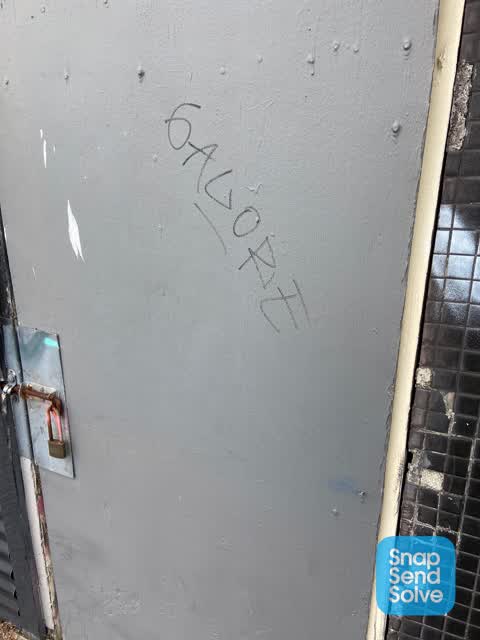
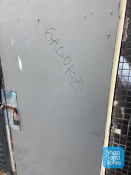
 GALORE black paint tag on shed door facing the footpath by 233 Colombo Street.
Graffiti —
Roading/Streets —
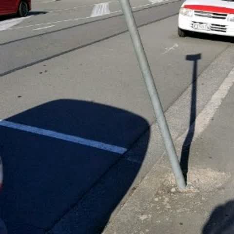
Sign has been bent and leaning over for months
Also reported on Colombo Street
- 468 Colombo Street — 71 reports
- 300 Colombo Street — 66 reports
- 303 Colombo Street — 64 reports
- 504 Colombo Street — 56 reports
- 340 Colombo Street — 52 reports
- 406 Colombo Street — 37 reports
- 500 Colombo Street — 36 reports
- 420 Colombo Street — 36 reports
The street’s crash record
NZTA’s record names Colombo Street in 200 crashes that hurt somebody since 2006 — 2 people killed, 35 seriously hurt.
The green nearby
- Bradford Park — 214 m to the edge · Sports ground · 3 ha
- Southey Reserve — 283 m to the edge
- Jacksons Creek — 399 m to the edge
- Sydenham Park — 416 m to the edge · Sports ground · 5 ha
- Cadogan Reserve — 429 m to the edge
Parks within half a kilometre, measured to the boundary — the council’s open data.
On the doorstep
- Brown Derby Dairy — 21 m away · Dairies & convenience
- Woolworths Colombo Street — 28 m away · Supermarkets
- New Wah Fish & Chips — 35 m away · Fast food
- New Wah Takeaways — 35 m away · Restaurants
Businesses within four hundred metres, measured at the pin — OpenStreetMap and the council directories.
The bus nearby
The closest Metro stops, within four hundred and fifty metres.
The tracks through here
- Walk and bike track through Sydenham — 14 m to the line · walk · bike
- Walk and bike track through Sydenham — 161 m to the line · walk · bike
- Walk and bike track through Sydenham — 268 m to the line · walk · bike
- Walk and bike track through Sydenham — 303 m to the line · walk · bike
- Walk and bike track through Sydenham — 471 m to the line · walk · bike
Tracks whose line passes within half a kilometre, measured to the line itself — the council’s open data.
The named ground
Named water within 500 m of this address, measured to the line or the edge; the council’s own structure register — bridges, boardwalks and steps standing nearby — the open map’s record.
Renting nearby
new bonds in Sydenham ran about $518 a week — $32 below the city median of $550 — the suburb page keeps the rent record →.
What was here — Dwelling and Setting
64 m away · 6 Shelley Street · located to ±6 m · the place’s own record →
On the register. Nothing researched here yet.
What was here — Dwelling and Setting
87 m away · 5 Shelley Street · located to ±8 m · the place’s own record →
On the register. Nothing researched here yet.
What was here — Dwelling and Setting
220 m away · 12 Drummond Street · located to ±7 m · the place’s own record →
On the register. Nothing researched here yet.
The civic layer
This ground votes in Cashmere ward — the Spreydon-Cashmere-Heathcote community board. Ward lines don’t always follow suburb lines; this one is measured at the pin, not the suburb’s centre.
What stood on this ground → · On the map → · From the air — the Crown’s aerials back to 1936; search the address on RetroLens →
Questions, answered briefly
17 council reports on record since February 2018 — most often graffiti (4), graffiti on a fence, building or structure (3), hazard — vehicle (2).
Sydenham, Christchurch — on Colombo Street.
The heritage register names 3 places at or beside it — Dwelling and Setting, Dwelling and Setting.
Bradford Park — 214 m to its edge, 3 ha.