248 Milton Street, Sydenham
12 reports on record since February 2019 · 11 with photographs. The street’s heaviest record is 204 Milton Street — 38 reports on file. Indicative rating valuation and school zones, hazards, bin day and what stood here before.
What gets reported here
Photographed here 11 on record


Reported here
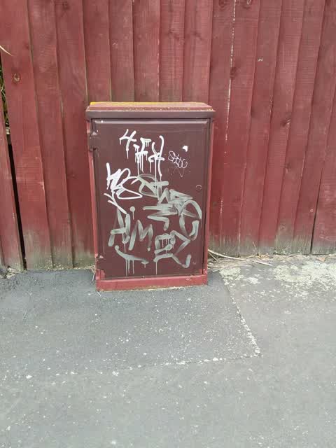
 Graffiti on a traffic light pole or cabinet, or wa —
 Graffiti on street light pole
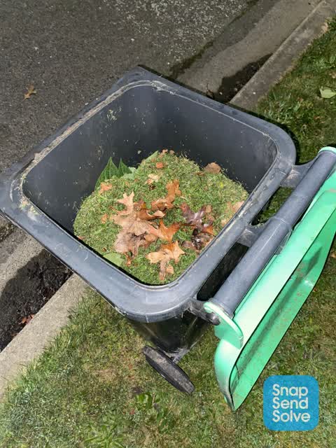
 Rubbish and Bins - General —
 Green bin requires a new lid please
 Pavement - General —
 Street sign fallen off and put on green box
 Graffiti on a fence, building or structure —
 Road speed sign has been turned the wrong g way
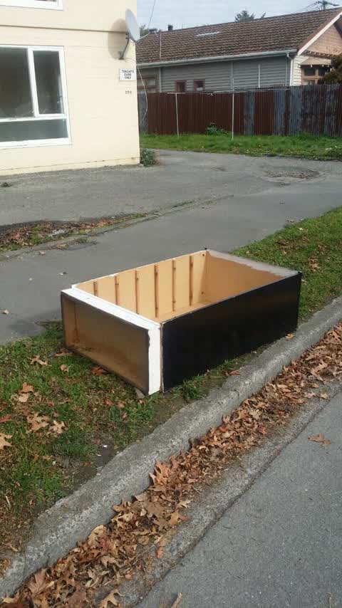
 Dumped Rubbish —
  Graffiti somewhere else —
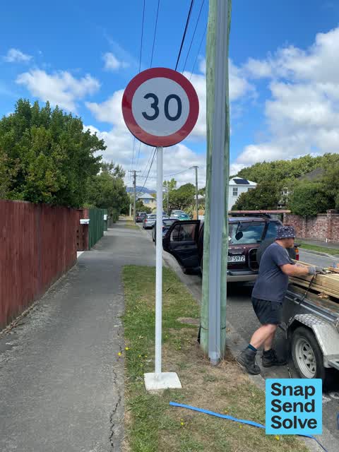
  Poles and Signage - General —
 I have serious concerns about why you would spend money & resources on erecting a sign at the start of a dead end street. There is no need f
- Dumped Rubbish —
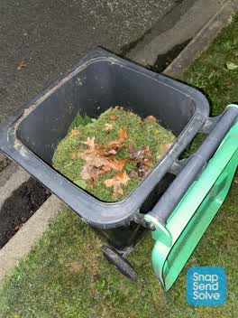 Rubbish/Recycling —
 Green Bin not empty Please arrange this to be emptied Looks like every bin has been missed Thanks
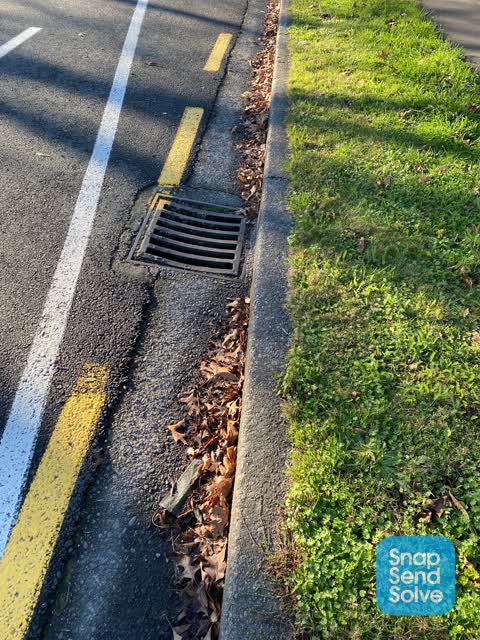
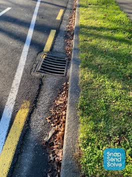 Roading/Streets —
 I requested this gutter be cleaned at the start of May. This has not been actioned as the face mask is still there. Has the Council become l
Rubbish/Recycling —
Graffiti —
Also reported on Milton Street
- 204 Milton Street — 38 reports
- 219 Milton Street — 35 reports
- 238 Milton Street — 28 reports
- 178 Milton Street — 15 reports
- 197 Milton Street — 14 reports
- 245 Milton Street — 12 reports
- 175 Milton Street — 11 reports
- 215 Milton Street — 10 reports
The street’s crash record
NZTA’s record names Milton Street in 34 crashes that hurt somebody since 2006 — 7 seriously hurt, nobody killed.
The green nearby
- Bradford Park — 143 m to the edge · Sports ground · 3 ha
- Sydenham Park — 198 m to the edge · Sports ground · 5 ha
- Cadogan Reserve — 439 m to the edge
- Jacksons Creek — 450 m to the edge
Parks within half a kilometre, measured to the boundary — the council’s open data.
On the doorstep
- Pizza Hut — 143 m away · Restaurants
- Computer Repairs — 152 m away · Computers
- F45 Training — 162 m away · Gyms & fitness
- Liquid Self Service Laundromats — 173 m away · Laundromats
Businesses within four hundred metres, measured at the pin — OpenStreetMap and the council directories.
The bus nearby
The closest Metro stops, within four hundred and fifty metres.
The tracks through here
- Walk and bike track through Sydenham — 10 m to the line · walk · bike
- Walk and bike track through Sydenham — 165 m to the line · walk · bike
- Walk and bike track through Sydenham — 188 m to the line · walk · bike
- Walk and bike track through Sydenham — 339 m to the line · walk · bike
- Walk and bike track through Sydenham — 349 m to the line · walk · bike
Tracks whose line passes within half a kilometre, measured to the line itself — the council’s open data.
The named ground
Named water within 500 m of this address, measured to the line or the edge; the council’s own structure register — bridges, boardwalks and steps standing nearby — the open map’s record.
The remembered names nearby
- Sydenham Park plaque — 198 m away
Inscribed plaques within two hundred and fifty metres — the register’s pins, not surveyed spots. The whole roll is at /plaques.
Renting nearby
new bonds in Sydenham ran about $518 a week — $32 below the city median of $550 — the suburb page keeps the rent record →.
What was here — Former MED Substation and Setting
68 m away · 259 Milton Street · located to ±15 m · the place’s own record →
On the register. Nothing researched here yet.
What was here — Dwelling and Setting
79 m away · 12 Drummond Street · located to ±7 m · the place’s own record →
On the register. Nothing researched here yet.
What was here — Dwelling and Setting
232 m away · 5 Shelley Street · located to ±8 m · the place’s own record →
On the register. Nothing researched here yet.
What was here — Dwelling and Setting
240 m away · 6 Shelley Street · located to ±6 m · the place’s own record →
On the register. Nothing researched here yet.
The civic layer
This ground votes in Cashmere ward — the Spreydon-Cashmere-Heathcote community board. Ward lines don’t always follow suburb lines; this one is measured at the pin, not the suburb’s centre.
What stood on this ground → · On the map → · From the air — the Crown’s aerials back to 1936; search the address on RetroLens →
Questions, answered briefly
12 council reports on record since February 2019 — most often rubbish/recycling (2), dumped rubbish (2), rubbish and bins - general (1).
Sydenham, Christchurch — on Milton Street.
The heritage register names 4 places at or beside it — Former MED Substation and Setting, Dwelling and Setting.
Bradford Park — 143 m to its edge, 3 ha.